


Topographic Surveys in Southern Ontario
A topographic survey records the ground elevations and visible features of your site, so your designer works from real measurements.
Mon-Fri 8am-5pm, Sun 9am-4pm
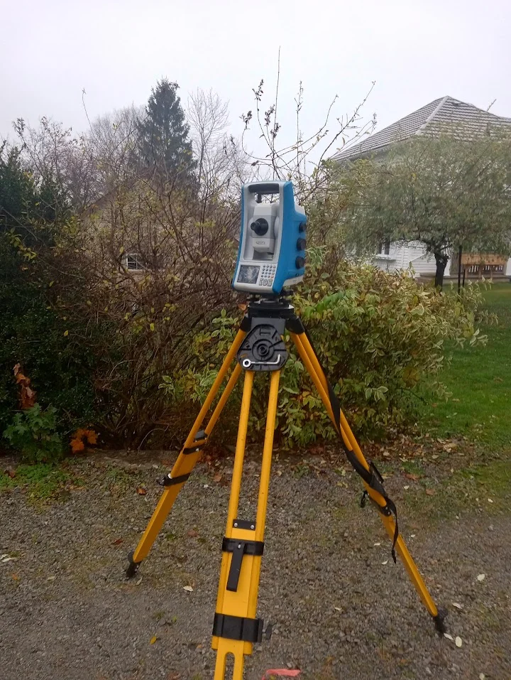
Topographic & Existing-Conditions Surveys
Planning a new home, addition, landscape project or commercial development? A topographic survey records the ground elevations and visible features of your site, so your designer works from real measurements. Geo Vision Surveying Inc provides topographic and existing-conditions surveys for residential lots and commercial sites across Southern Ontario. We work with homeowners, builders, architects, engineers and contractors to define the information needed for their project.
What a Topographic Survey Records
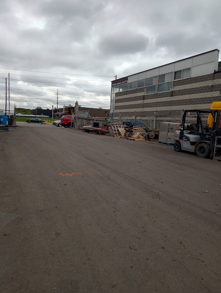
We collect site elevations and visible surface features within an agreed survey area. Before fieldwork, we confirm the features to include, required tolerances and deliverables with you or your design team. Underground utilities aren’t visible at the surface. If the scope requires buried utilities to be shown, locates are requested through Ontario Dig Authority (formerly Ontario One Call) before fieldwork, and we survey the locate marks along with the other site features.
Survey Methods and Deliverables
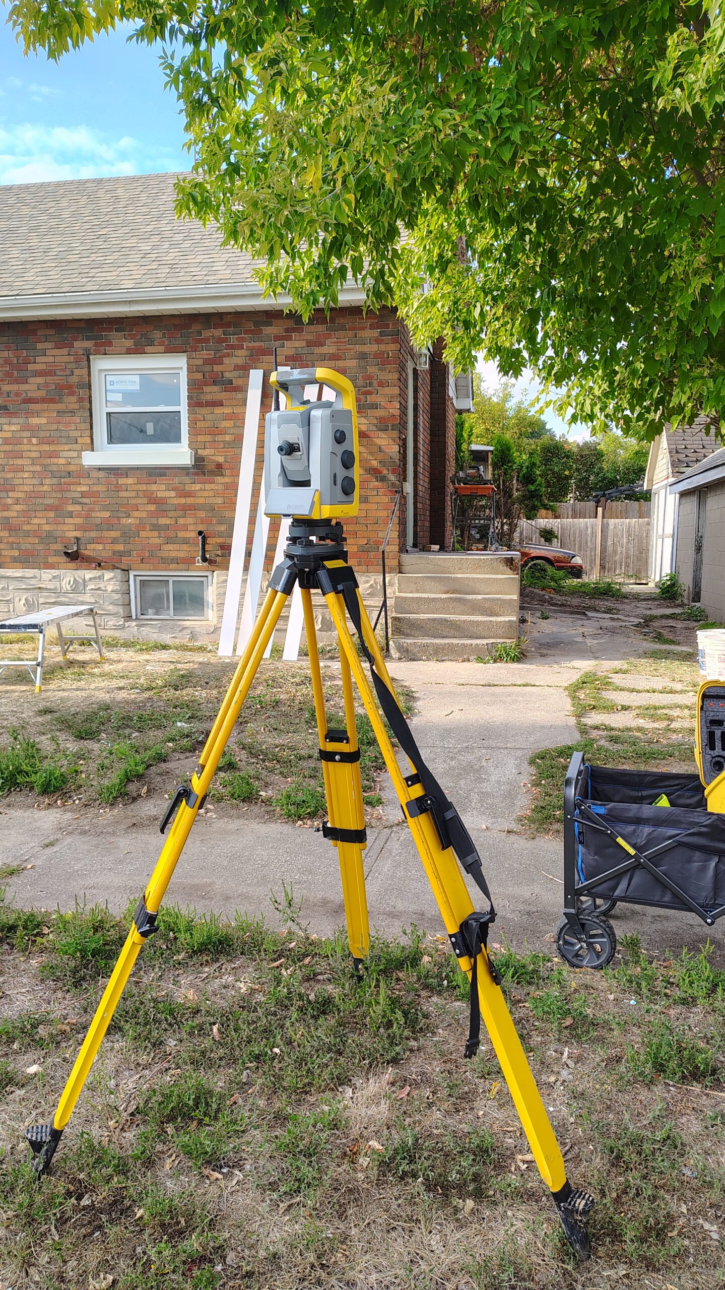
We select surveying methods to suit the site and project requirements. Where appropriate, drone mapping or SLAM LiDAR scanning can support data collection. Coverage, data formats and the level of detail are agreed before work begins.
We can contract an Ontario Land Surveyor on your behalf.
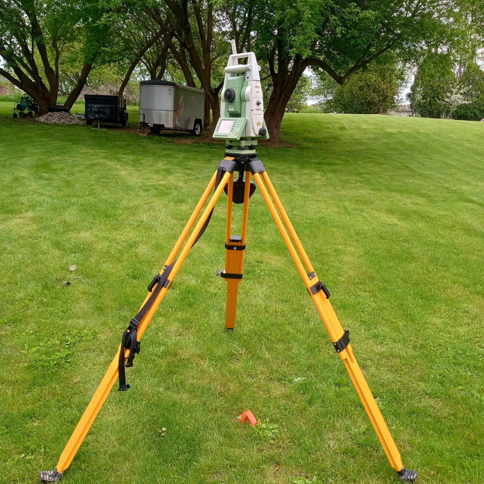
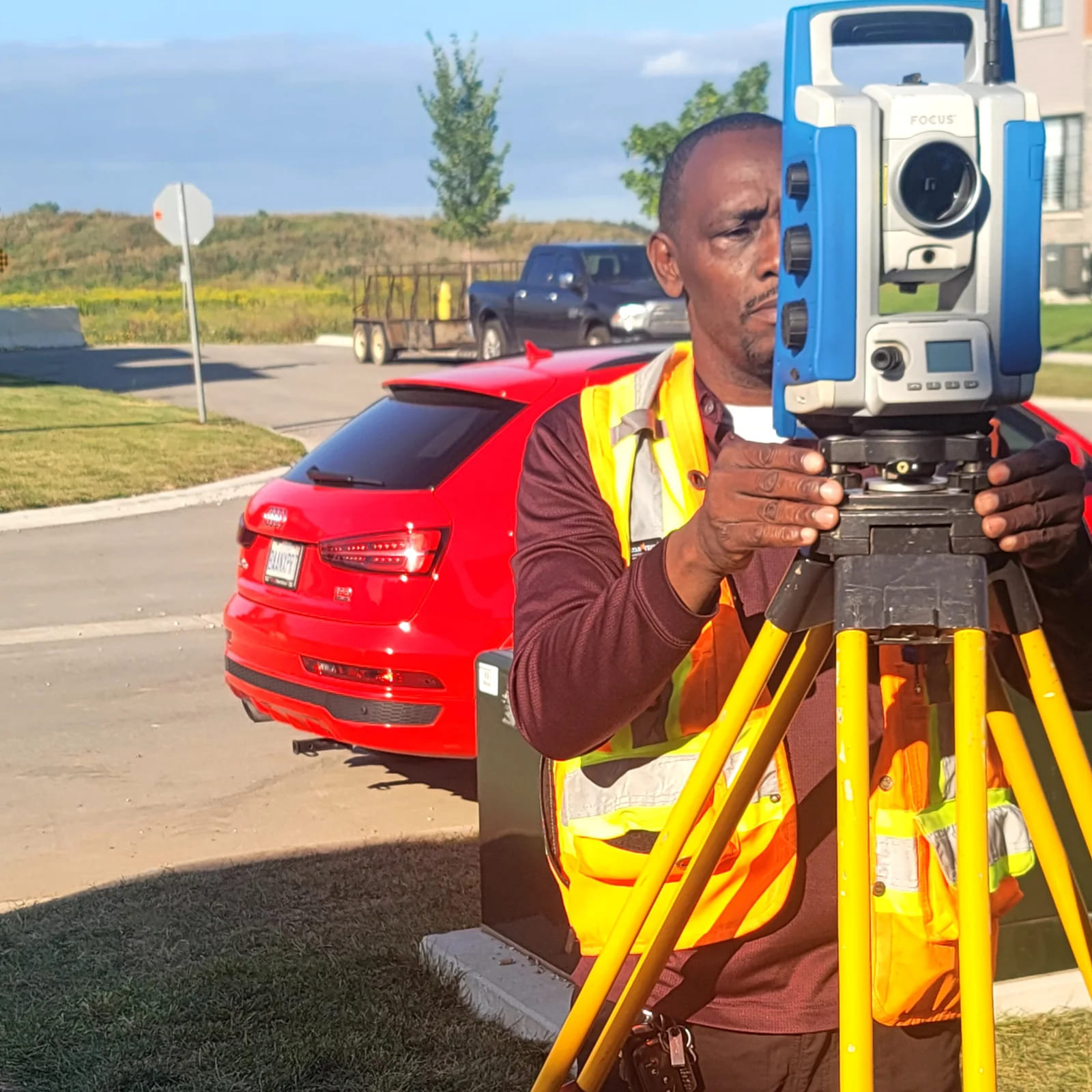
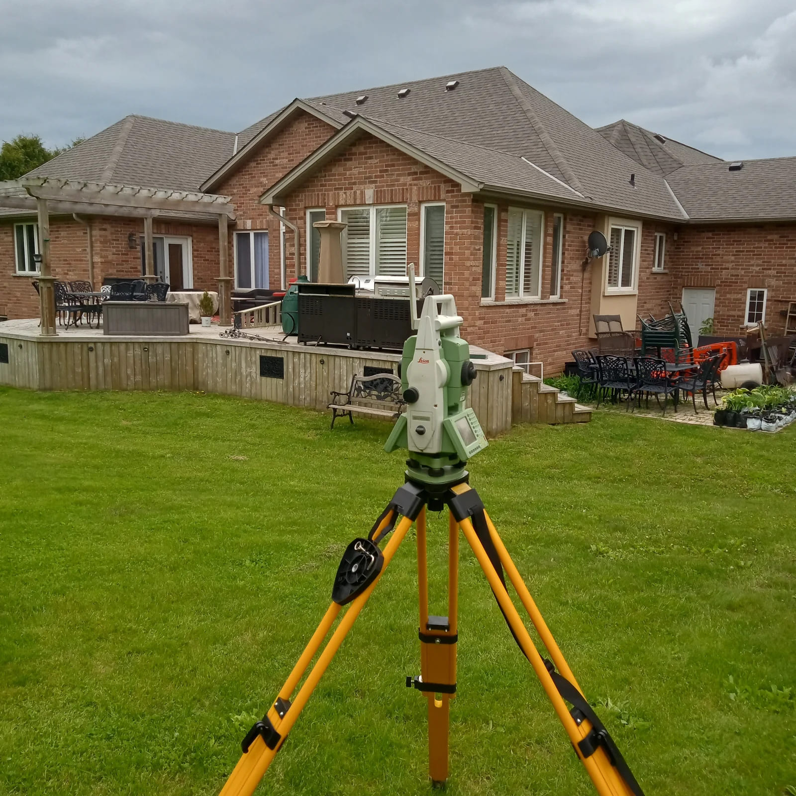
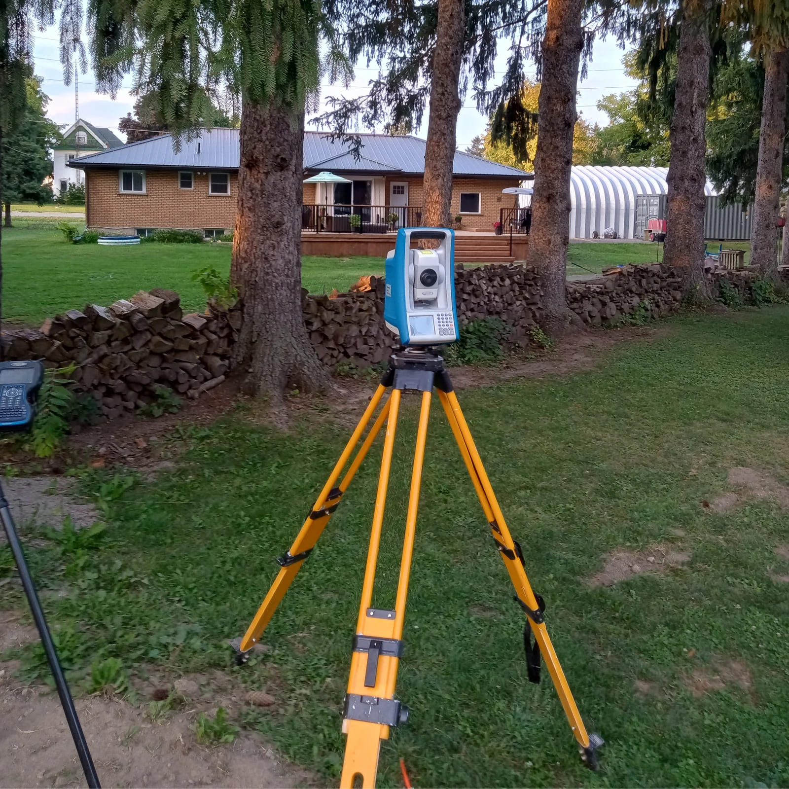
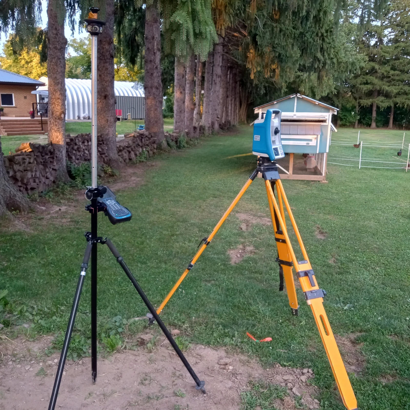
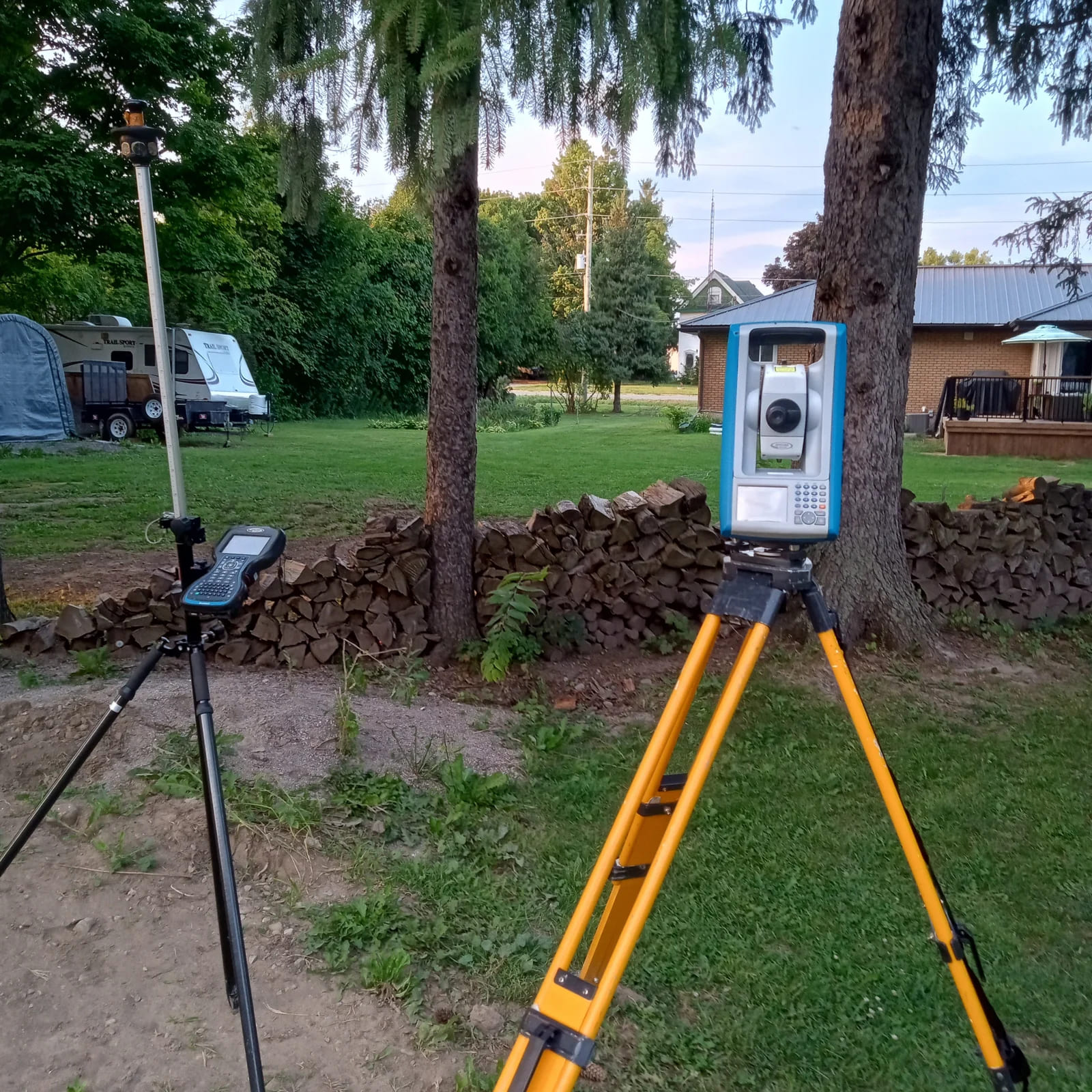
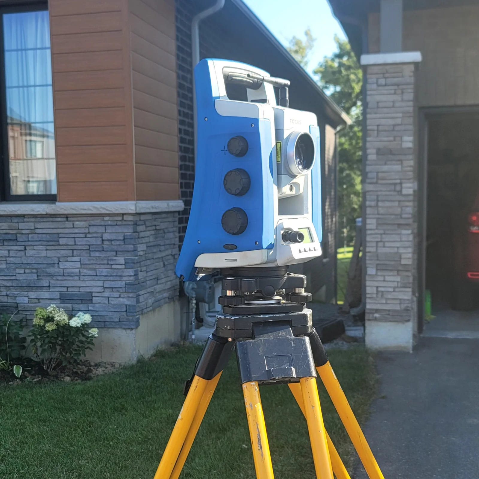
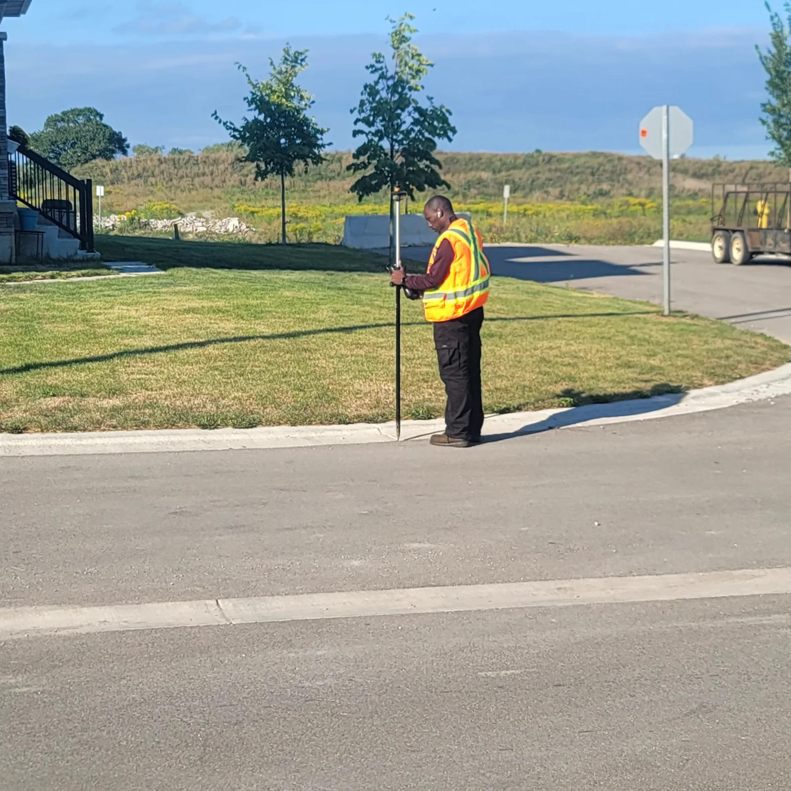
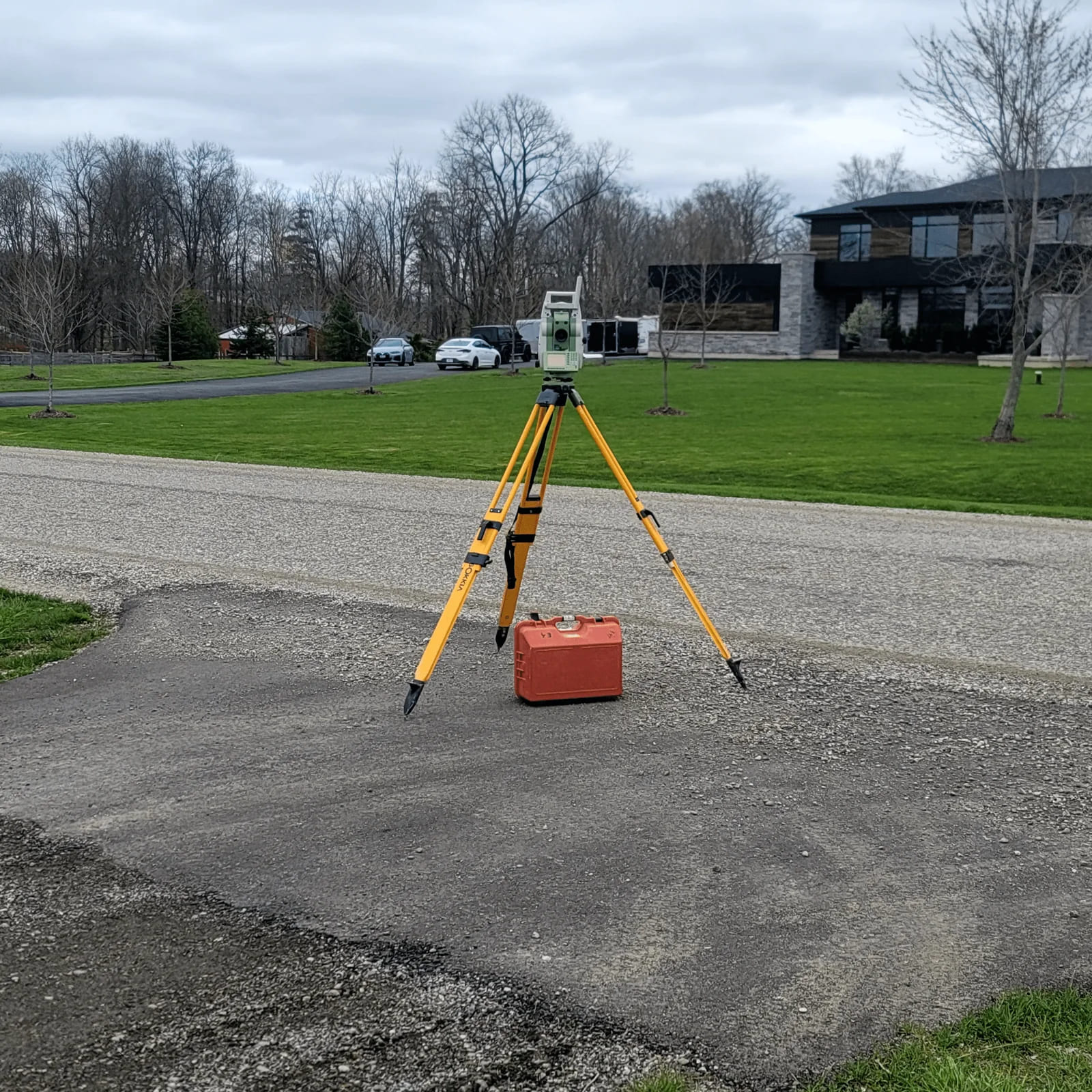
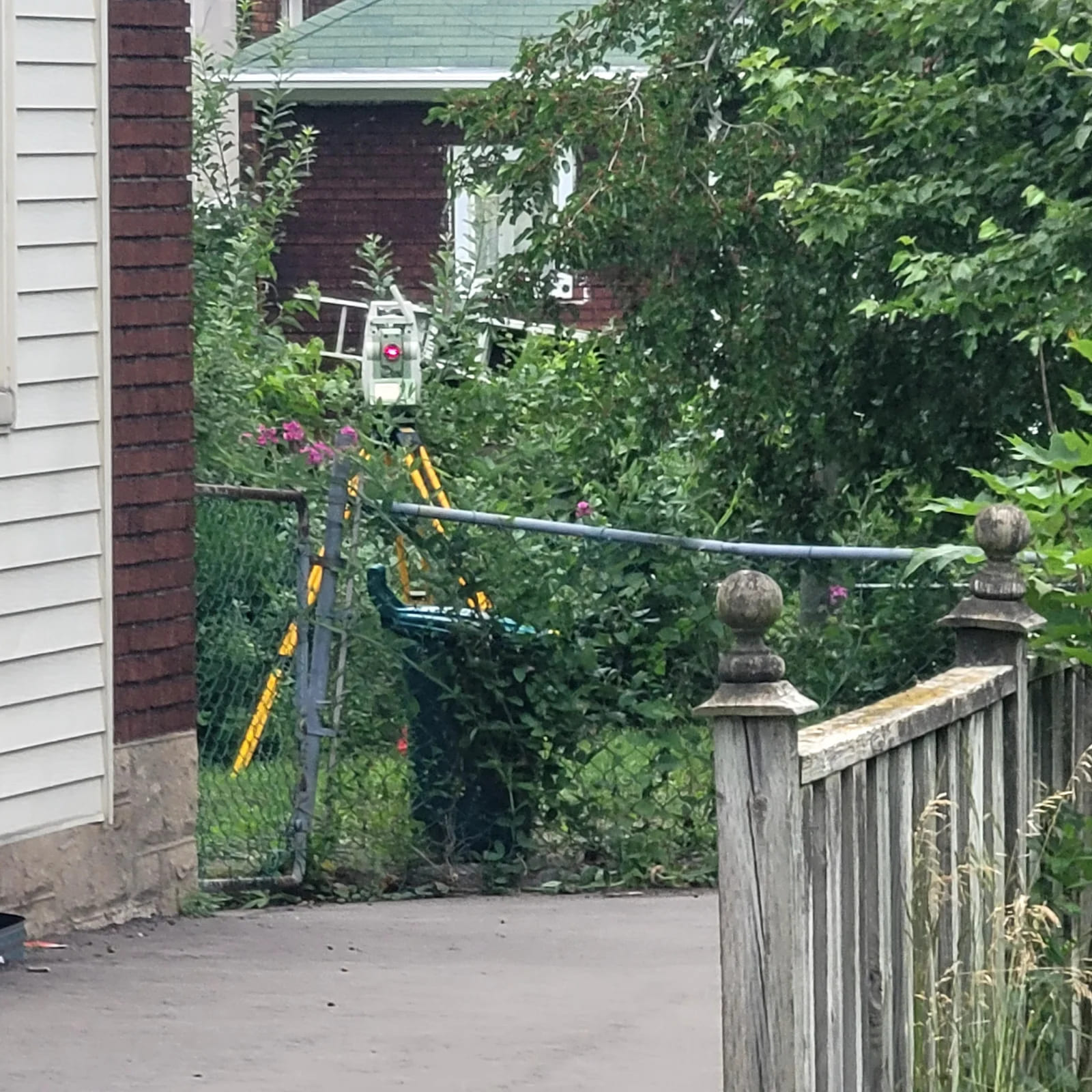
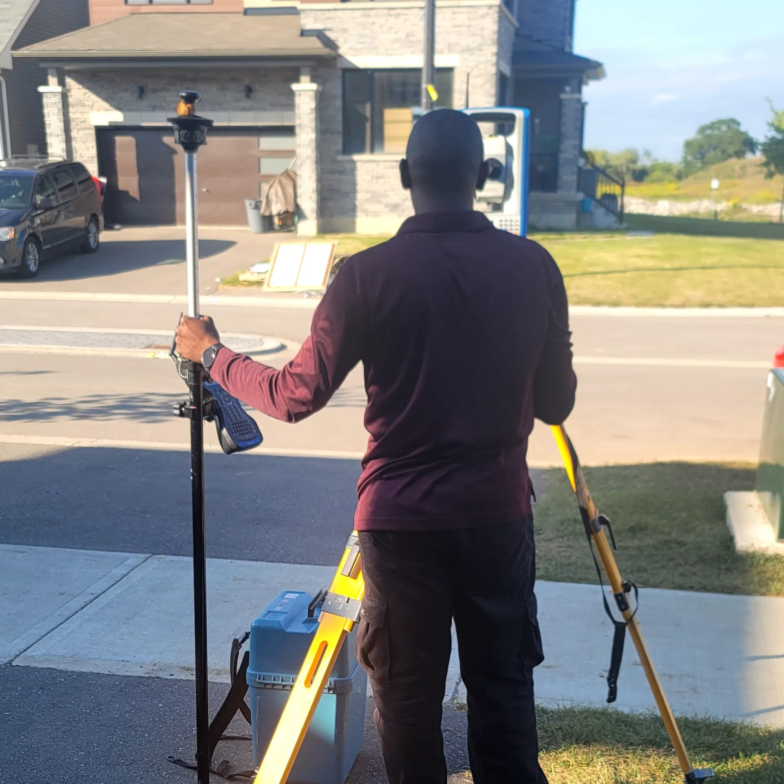
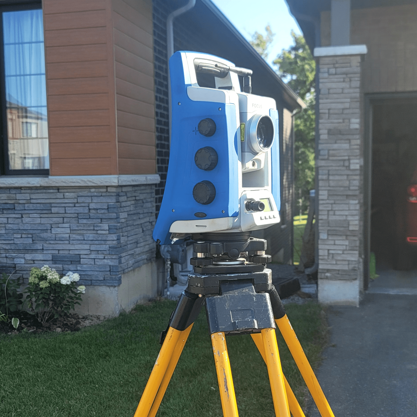
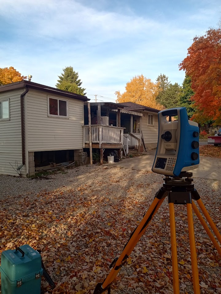
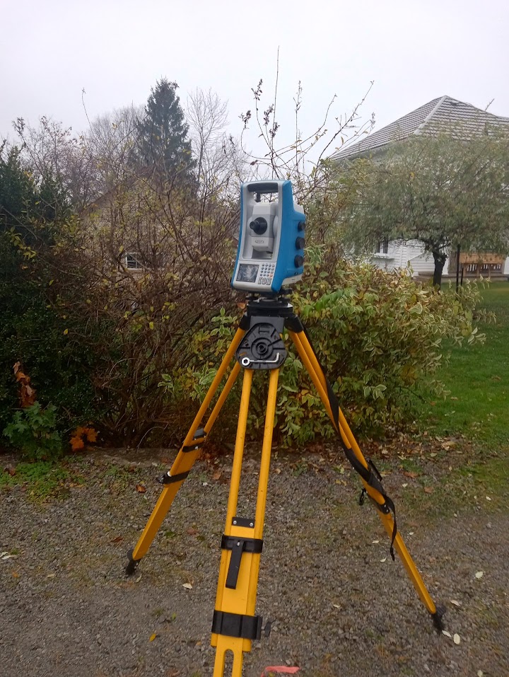
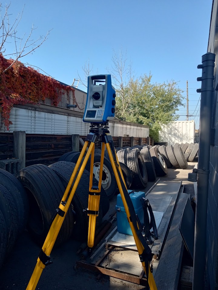
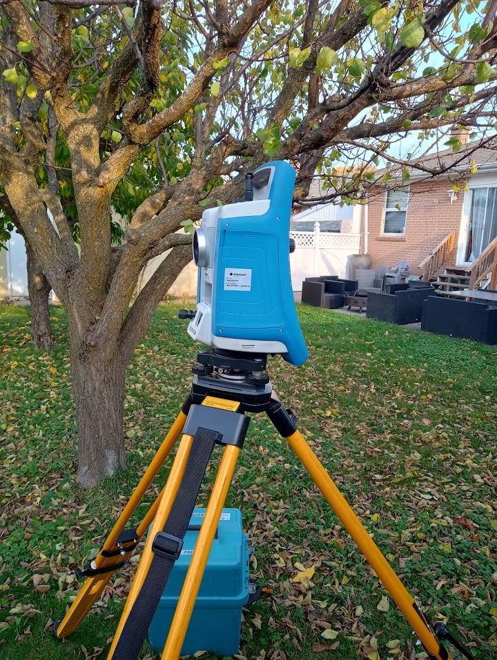
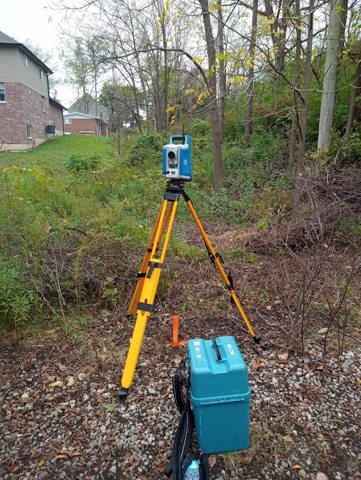
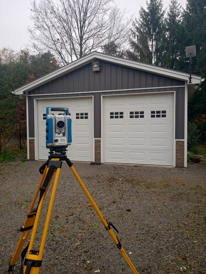
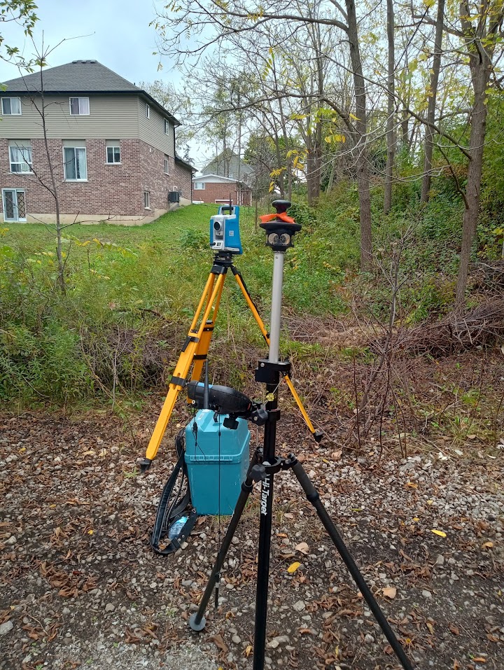
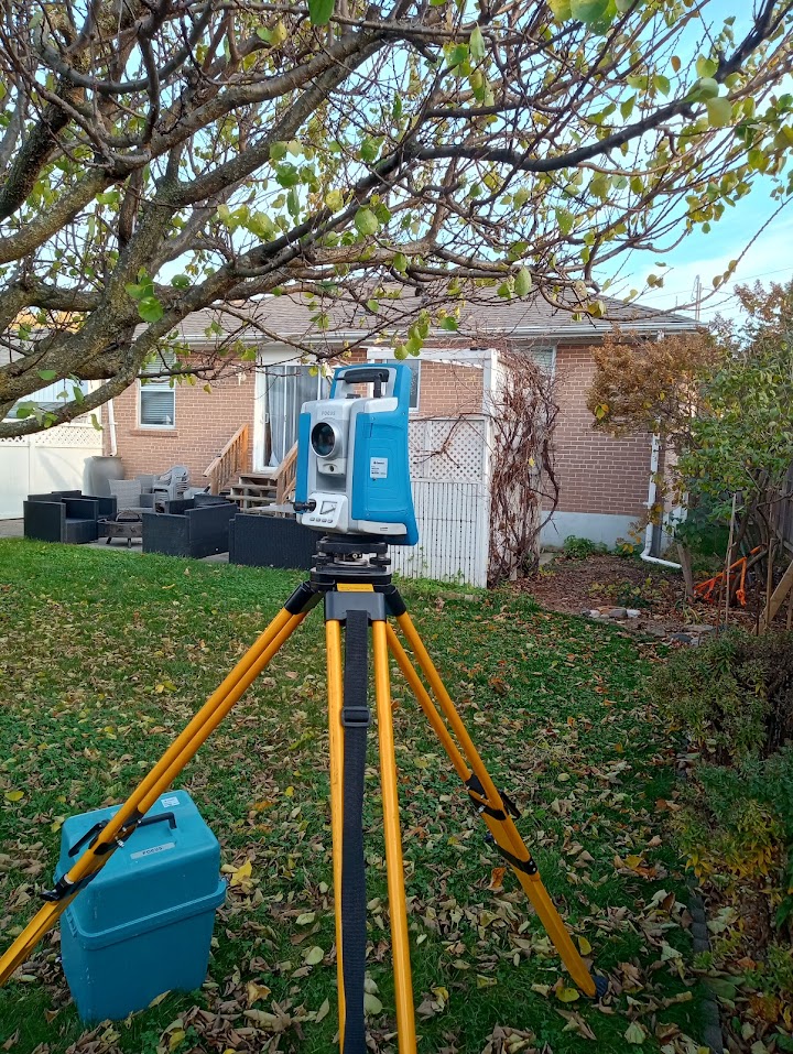
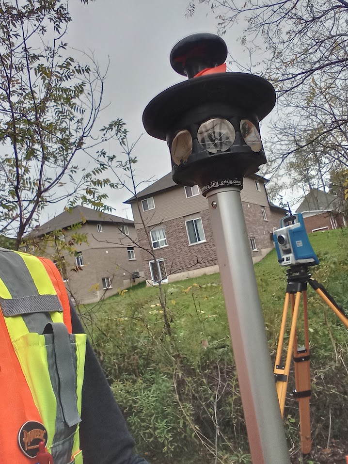
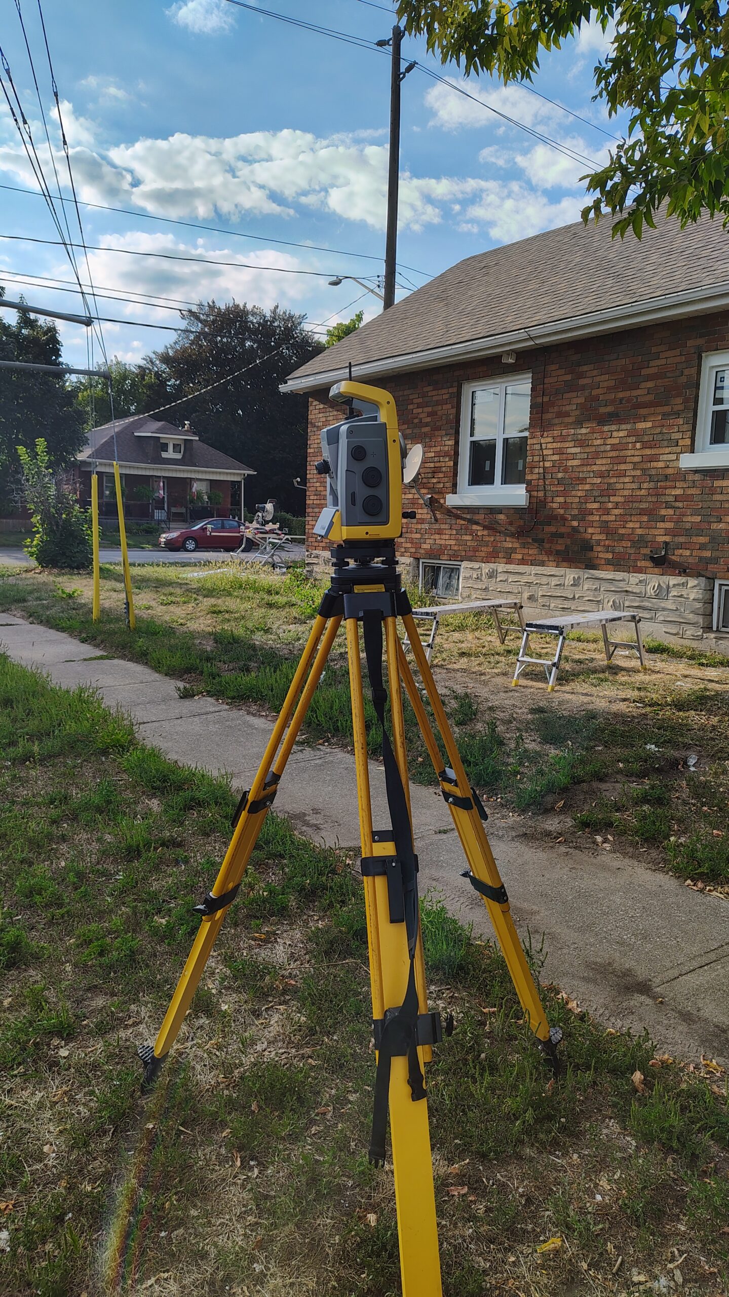
Examples: a topographic survey in Cambridge and a topographic survey in Simcoe. For complex buildings we add SLAM LiDAR scanning, and for larger open sites drone surveying. Once design is approved, we provide construction layout.
Questions about topographic surveys
What does a topographic survey show?
Ground elevations, contours and the visible features on the site, such as buildings, paving, trees, visible utilities and drainage, all tied to a known elevation. Buried utilities are shown from locate marks only when the scope requires them.
When do I need a topographic survey?
Usually before design starts. For a new home, an addition, an infill build, landscaping or a pool, your designer or engineer needs existing grades and features to work from.
Where we work
We provide topographic and existing-conditions surveys across Southern Ontario, including Brantford, Simcoe and Norfolk County, Hagersville and Haldimand County, Hamilton, Cambridge, the Niagara Region, Burlington, Oakville and Toronto. Send us the project address and we’ll confirm availability. See all service areas.
Explore Our Surveying Services
Surveying Services We Provide

Construction Surveying & Layout
Site control, building and foundation layout, elevation checks before each pour, and progress measurements as the job moves forward.
Read more about Construction Surveying & Layout
As-Built Surveys
Construction drawings show what was designed. As-built surveying records what was actually built.
Read more about As-Built Surveys
Grading Surveys
Grading layout, elevation checks and earthworks surveying for residential lots, commercial sites and construction projects.
Read more about Grading Surveys
Monitoring Surveys
Construction monitoring surveys for movement and settlement of structures and excavations, with repeat measurements and clear reporting.
Read more about Monitoring Surveys
LiDAR & SLAM LiDAR Scanning
SLAM LiDAR scanning for buildings, interiors and complex sites. Dense 3D point clouds and as-built data.
Read more about LiDAR & SLAM LiDAR Scanning
Drone Surveying
Drone surveying and mapping for construction, site development and earthworks projects across Southern Ontario.
Read more about Drone SurveyingNot sure which survey you need? Tell us about your project.