


Topographic Surveys, Layout and As-Builts in Oakville
Topographic surveys for additions, pools and site alteration plans, plus construction layout and as-builts across Oakville.
Mon-Fri 8am-5pm, Sun 9am-4pm

- 28+Combined Years Of Experience
- 795+Projects Completed
When we’re surveying Oakville properties, the job is most often a topographic survey for a homeowner, designer or builder who is planning an addition, a pool, new landscaping or a new house. Geo Vision Surveying Inc provides topographic surveys, construction layout, grading measurements and as-built surveys in Oakville. We record existing grades and site features for design, put the approved design on the ground, and measure what was built. We travel to Oakville from our base in Hagersville.
Surveying Oakville properties: the surveys we provide
Topographic surveys for additions, pools and landscaping
When surveying Oakville lots for design, a topographic survey records ground elevations, contours and the visible features on the property: the house and other structures, driveways and patios, trees, fences, retaining walls, catch basins, swales and grade changes, all tied to a known elevation. Before fieldwork, we confirm with you or your designer which features, how much of the surrounding area and which deliverables the design needs. Locate marks are surveyed if the scope requires buried utilities to be shown. → Topographical surveying
Construction layout for new homes and additions
Once your drawings are approved, we set out building corners, footing lines, offsets from the existing house and elevation references, so excavation and forming crews build in the right place and at the right height. → Construction surveying
Grading measurements and as-built surveys
During and after construction, we measure as-constructed grades and record completed foundations, structures and site features, so they can be compared with the approved design before the next stage or before they’re covered. We provide the measurements and survey data. Grading and drainage design by an engineer or designer isn’t included in our surveying service. → Grading surveying · As-built surveying
SLAM LiDAR and drone surveying
SLAM LiDAR scanning can capture a detailed 3D point cloud of an existing building before a renovation or addition. Available deliverables and file formats are confirmed in the quotation. Point-cloud processing, CAD drawings and any scan-to-BIM modelling are included only where expressly agreed. Drone surveying suits larger open sites where airspace rules allow. → LiDAR surveying · Drone surveying
From our field files: a residential topographic survey in Oakville
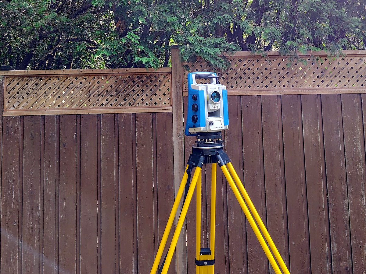
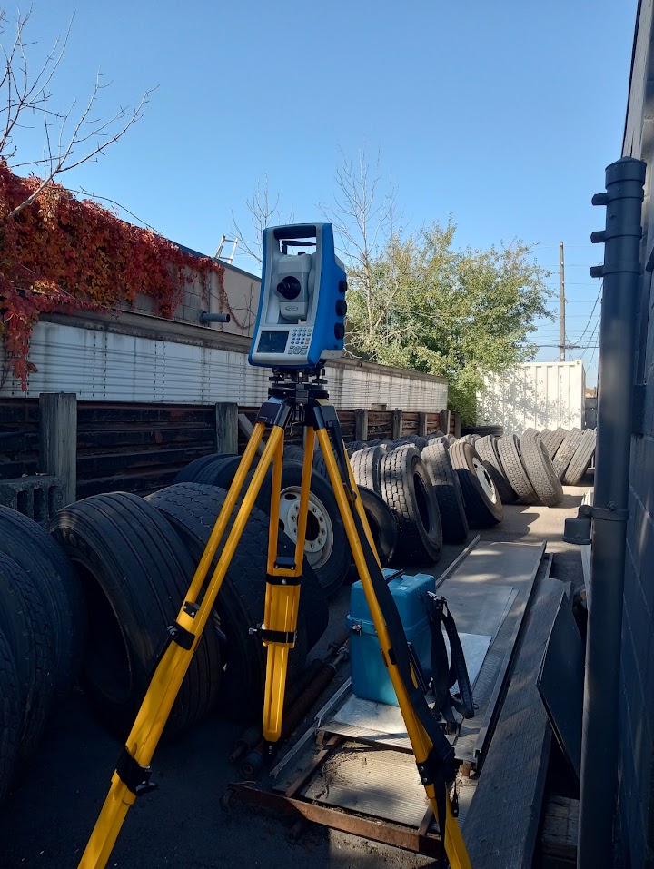
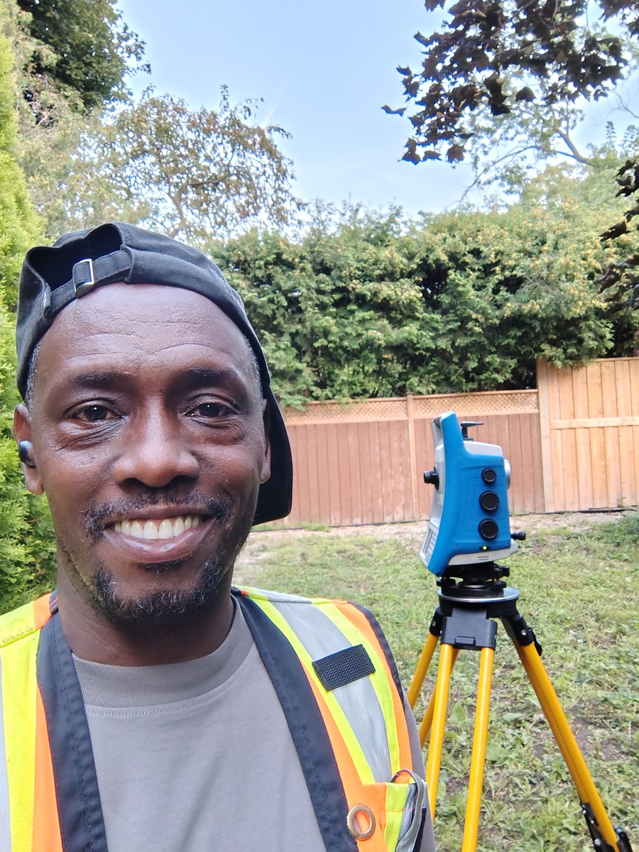
On a residential topographic survey in Oakville, we used a GNSS receiver out front, where the sky is open over the street, driveway and front yard, and a robotic total station in the backyard, between the fences and mature trees where satellite signals struggle. Tied together, the two instruments gave the designer one consistent dataset of the property’s existing grades, structures and features. Surveying Oakville lots with mature trees and fenced yards is routine for us: we plan instrument setups around them. See the residential topographic survey in Oakville case study.
Oakville's Site Alteration By-law: what the plan asks for
In Oakville, altering the grade of land, placing fill, removing soil or creating new hard surfaces generally needs a Development Engineering Permit under the Town’s Site Alteration By-law 2023-047 (as amended). The plan standards in the by-law ask for elevations tied to the Town’s benchmarks on geodetic datum, existing grades shown as contours at intervals of no more than 0.5 m that extend at least 30 m beyond the site, spot elevations along the property line to show drainage, and the location and size of trees on and near the site. The plan itself is prepared and certified by the qualified professional the Town requires. When surveying Oakville sites for a permit submission, we collect the field measurements the plan is built on: elevations, contours, trees, structures and drainage features, tied to Town benchmarks, including the surrounding area where access allows. Rules change, so confirm the current requirements with the Town of Oakville or your engineer before you book. A survey doesn’t guarantee a permit.
What to send for an Oakville quote
- The property address
- What you’re planning: addition, pool, landscaping, new house or commercial work
- What the survey is for: design, a site alteration or building permit submission, layout, a grade check or an as-built
- Any requirements from your designer or engineer, such as the area to cover, features to include and the deliverable format
- Your timeline and any access notes: gates, dogs, fences, neighbours or site contacts
- Who should receive the files
Oakville surveying FAQs
What does a topographic survey show?
Ground elevations and contours plus the visible features on the site, such as buildings, driveways, trees, fences, catch basins and grade changes, all tied to a known elevation.
Do I need a topographic survey for a pool or addition in Oakville?
If your work needs a site alteration or building permit, the Town usually asks for existing grades on the plan. Your designer or engineer will tell you exactly what they need from the survey.
Do you prepare the site alteration plan?
No. We provide the measurements and survey data. The plan is prepared and certified by your engineer or other qualified professional.
Can you show underground utilities?
Buried utilities aren’t visible at the surface. If the scope requires buried utilities to be shown, utility locates can be requested through Ontario Dig Authority (formerly Ontario One Call) before fieldwork, and we survey the locate marks with the other features.
Related pages
Topographical surveying · Construction surveying · Grading · As-built surveying · LiDAR surveying · Projects · Blog · All service areas · Contact us
Nearby areas: Surveying in Burlington · Surveying in Toronto.
Case study: Residential topographic survey in Oakville.
Planning a project in Oakville?
For surveying Oakville properties, send us the address, your drawings and what the survey is for, and we’ll follow up with a scope and quote.