


Surveying Services in Brantford, Ontario
Construction layout, topographic surveys, grading measurements, as-builts and monitoring for projects in the City of Brantford, with separate guidance for properties in the County of Brant.
Mon-Fri 8am-5pm, Sun 9am-4pm

- 28+Combined Years Of Experience
- 795+Projects Completed
Geo Vision Surveying Inc provides construction-stage surveying for builders, contractors, designers and property owners in the City of Brantford. When we’re surveying Brantford job sites, our work happens before and during construction: we record existing site conditions, put approved designs on the ground, check grades and elevations, and measure what was built. We focus on small and midsize projects, such as additions, new homes, garages, commercial site work and contractor layout, and we also support construction teams that need dependable field information at each stage.
City of Brantford or County of Brant?
The City of Brantford and the County of Brant are separate municipalities. Paris, St. George and Burford are communities in the County of Brant, not part of the City. Their building and grading requirements are set by different offices, so tell us which municipality your property is in when you contact us. We serve projects in both. This page focuses on surveying Brantford properties within the City.
Surveying Brantford projects, from layout to as-built
Construction and building layout
We set out building corners, footings, gridlines, offsets and elevations from your approved, client-provided drawings, so excavation and forming crews have marks they can build from. On a tight infill lot or an addition next to an existing house, it helps to check layout before concrete is placed. → Construction surveying
Topographic and existing-conditions surveys
Before a designer or engineer can plan a new building, addition or site change, they need accurate existing grades, structures, hard surfaces, trees and visible utility features. When surveying Brantford lots for design, a topographic survey records what is actually on the ground. → Topographical surveying
Grading measurements
We measure existing and as-constructed grades and elevations, and check site grades against the design provided to us. We provide the measurements and survey data. Grading and drainage design by an engineer or designer isn’t included in our surveying service. → Grading surveying
As-built surveys
Once foundations, structures, services or site features are in place, an as-built survey records their actual position and elevation so the project team can compare them with the design. Features that will be backfilled or covered should be measured before that happens. → As-built surveying
Monitoring surveys
Repeated measurements of set points can show whether a structure, excavation or nearby feature is moving over time. We collect and report the measurements; the project engineer interprets them. → Monitoring surveying
SLAM LiDAR and drone surveying
Where a site or building is complex, SLAM LiDAR scanning can capture a dense 3D point cloud of existing conditions, and drone surveying can cover open sites efficiently, where the site and airspace allow. → LiDAR surveying · Drone surveying
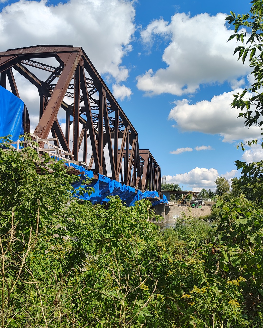
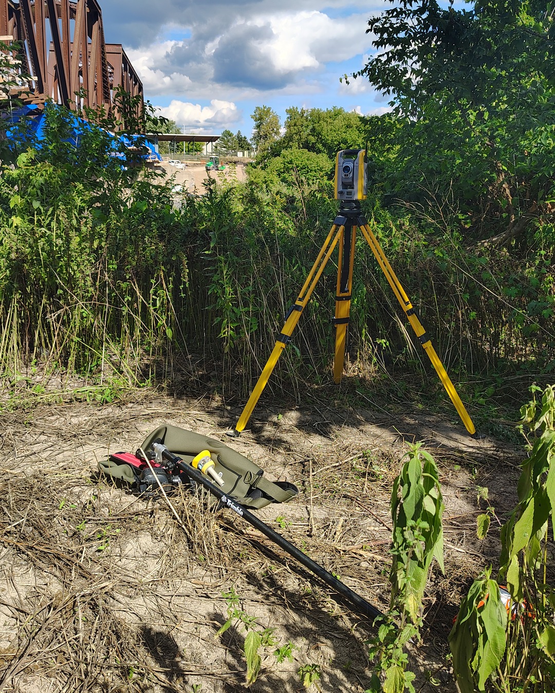
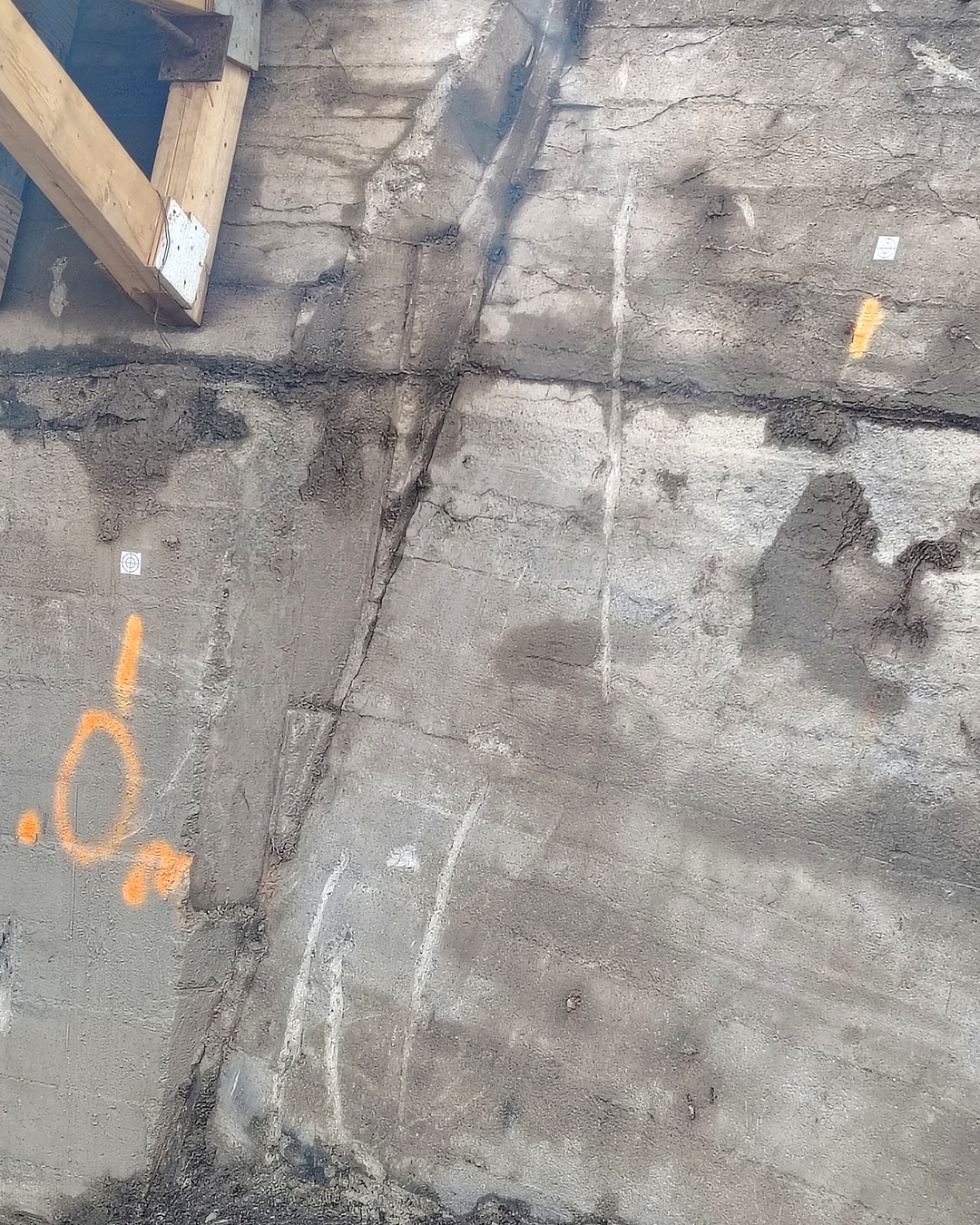
From our field files: monitoring at a Brantford bridge site
Geo Vision Surveying Inc carried out monitoring survey fieldwork at a steel truss bridge site in Brantford while construction carried on around the structure. Monitoring work like this depends on stable reference points and consistent, repeatable measurements, so changes can be identified between visits. For more Brantford fieldwork, see our surveying projects.
See the bridge construction layout in Brantford case study.
Permits, grading and survey requirements in Brantford
Before surveying Brantford properties for a permit, confirm the current requirements with the City of Brantford or your designer, because they depend on the project and the City updates them. As an example, the City’s Building Code by-law says that where the Site Alteration By-law applies, drainage and grading plans must be approved by the City’s Development Engineering Review Division and submitted with the building permit application. We can provide the field measurements your engineer or designer needs, but we do not prepare grading designs, and survey data does not guarantee any permit or approval.
What to send us for a Brantford quote
- The property address, and whether it’s in the City of Brantford or the County of Brant
- What the survey is for (permit drawings, design, layout, grade check, as-built or monitoring)
- Current drawings: site plan, architectural or structural drawings, or the engineer’s grading plan if you have one
- The construction stage and the date you need the field work
- Any access notes: fences, dogs, gates, active excavation or site contacts
- Who receives the deliverables (owner, builder, designer or engineer)
Brantford surveying FAQs
Do you work on residential projects in Brantford?
Yes. We support additions, new homes, garages and other residential projects, as well as commercial and contractor work. Surveying Brantford homes and additions usually follows the same steps: a topographic survey for design, layout for construction, then an as-built.
Will your survey get my permit approved?
No survey can promise that. Approvals are decided by the municipality. We provide accurate field information for the people preparing your submission.
Do you prepare lot grading plans?
No. We provide grading measurements and survey data. Grading and drainage design is prepared by an engineer or designer.
My property is in Paris or St. George. Can you still help?
Yes. Those communities are in the County of Brant, which has its own requirements. Tell us the address and we’ll scope the survey to suit.
When should layout be booked?
As soon as your drawings are approved and you know your excavation date. Layout is best done before digging and checked again before concrete.
Related pages
Construction surveying · Topographical surveying · Grading · As-built surveying · Monitoring · Projects · Blog
· All service areas · Contact us
Nearby areas: Surveying in Cambridge · Surveying in Hagersville · Surveying in Hamilton.
Planning a project in Brantford?
Send us the address, your drawings and what the survey is for, and we’ll follow up with a scope and quote.
Geo Vision Surveying Inc · Serving Brantford and the County of Brant