


Grading Surveys and Grade Checks
Grading layout, elevation checks and earthworks surveying for residential lots, commercial sites and construction projects.
Mon-Fri 8am-5pm, Sun 9am-4pm
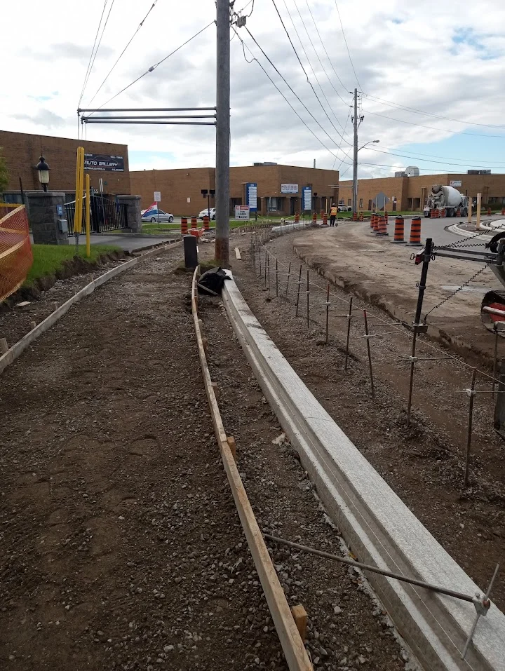
Grading and Earthworks Surveying
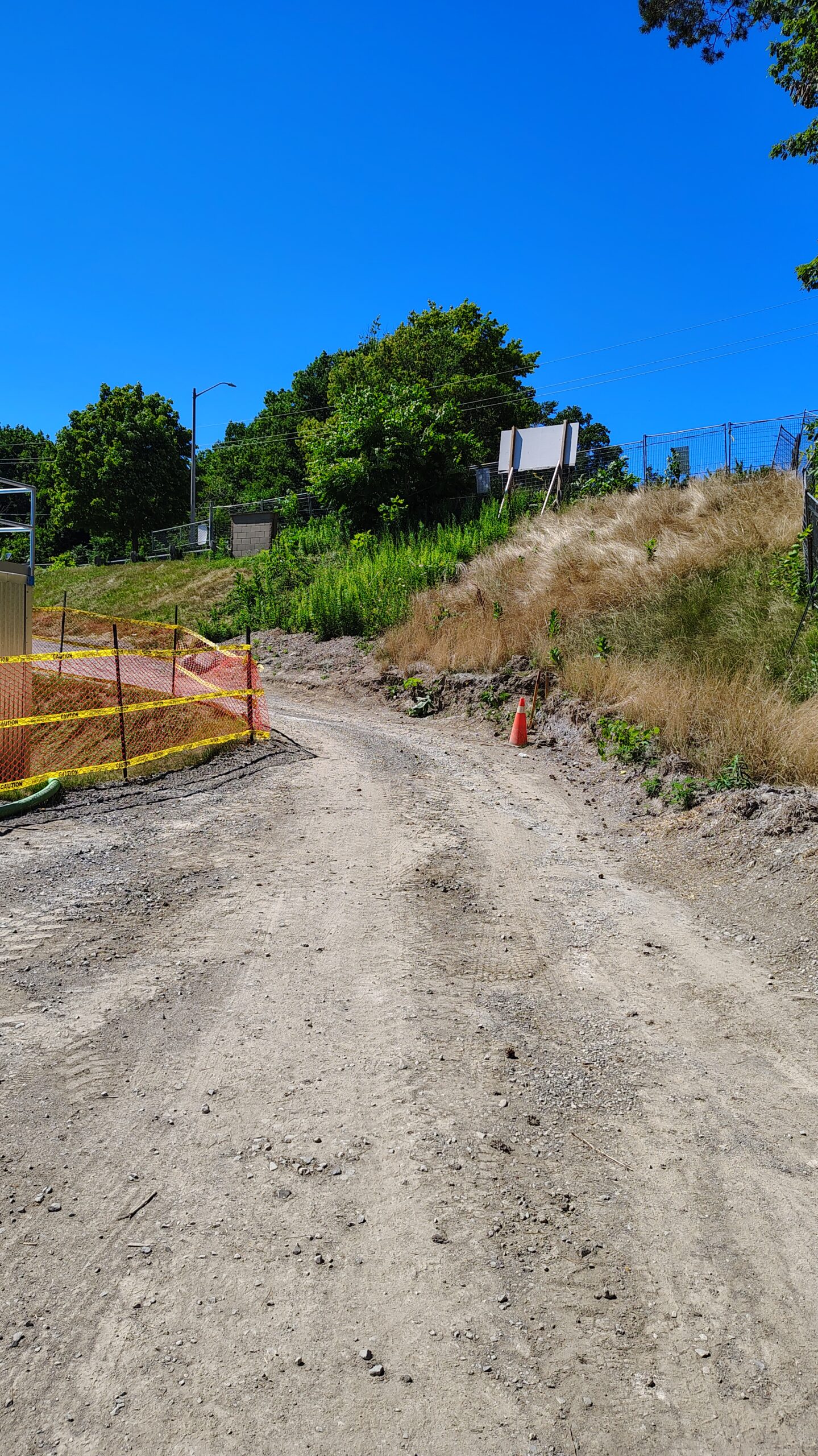
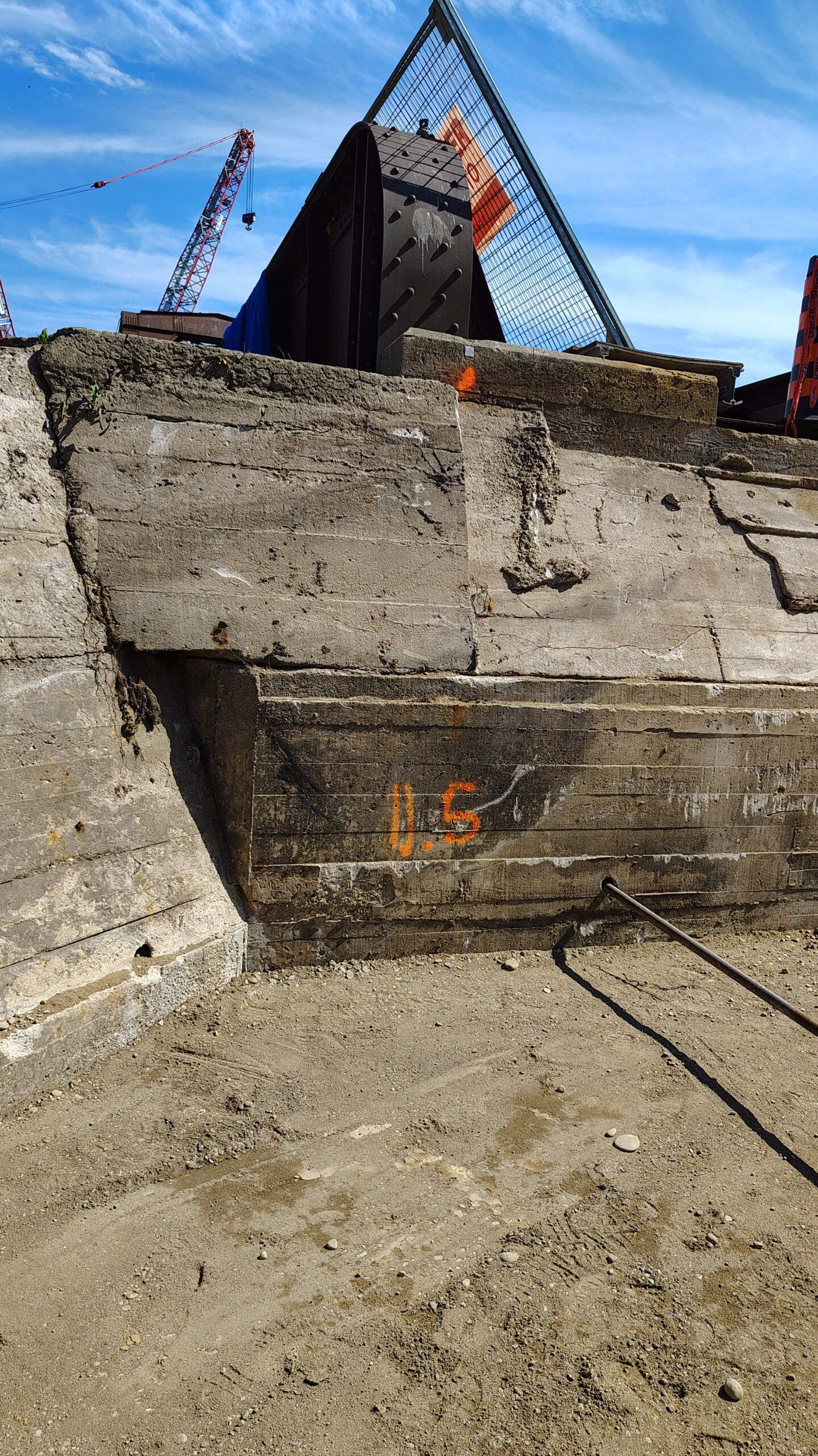
Geo Vision Surveying Inc provides grading layout, grade checks and earthworks surveying for residential lots, commercial sites and construction projects across Southern Ontario. We support builders, excavation contractors, landscapers, paving crews and civil contractors with clearly defined survey tasks, so the finished ground matches the approved grading design and water goes where it is meant to.
What's Included
- Pre-construction grade information: existing ground elevations that your engineer or designer uses to prepare the grading plan (see topographic surveys).
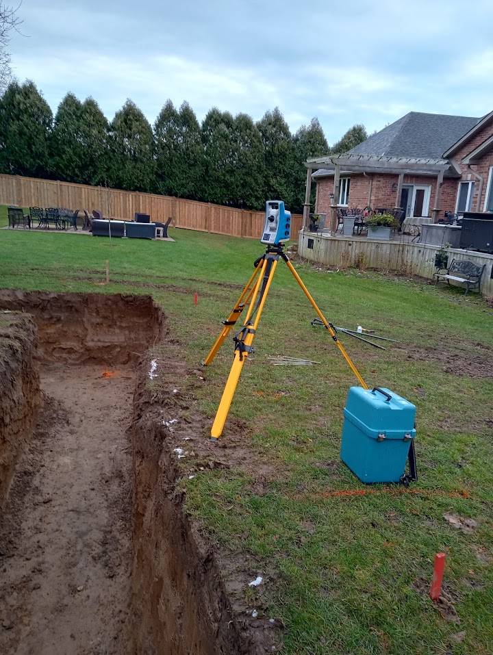
- Grading layout: grade stakes, cut and fill marks and offsets set from the approved grading drawing.
- Rough grade checks: elevations measured after rough grading, so corrections are made before topsoil, sod or paving.
- Final grade checks: finished grades, swales, slopes and key elevations measured against the design.
- Retaining wall and landscaping layout: positions and top-of-wall elevations from supplied plans.
- Earthworks and stockpile measurements: existing-ground and finished surfaces for volume calculations.
We provide measurements and survey data to support the grading plan prepared by your engineer or designer. Grading and drainage design are not part of our surveying service.
When You Need a Grading Survey
- Before design, when the engineer needs existing grades
- Before excavation and rough grading begins
- After rough grading, before topsoil and sod go down
- Before a municipal or engineer's grading review, when finished elevations must be shown
- When a driveway, parking area or yard is being regraded
- When a drainage problem needs facts before anyone decides on a fix
Equipment and Methods
Most grading work is measured with robotic total stations and GPS/GNSS receivers, tied to a site benchmark so every visit uses the same elevation reference. GPS/GNSS is efficient on open lots and larger sites, and the total station is used where tighter checks are needed or the sky view is blocked. On larger open sites, drone mapping can support earthworks measurements, available on request where suitable. Tolerances and reporting requirements are confirmed before work begins.
Deliverables
Deliverables are tailored to each project and may include:
- Grade stakes and marks on site
- A grade check sheet comparing design and measured elevations
- A CAD drawing of measured grades
- A PDF report of earthwork or stockpile volumes when requested
Our Process
- Send the information. Your site location, the grading drawings, the project schedule and the survey work you need.
- Confirm the scope. We confirm the stage of work, tolerances and reporting, then quote.
- Set the reference. We confirm the benchmark and control used for the design.
- Lay out or measure. We stake grades or measure the finished surface.
- Report. You receive the agreed check sheet, drawing or report.
Grading work often starts with a topographic survey, runs alongside construction layout and ends with as-built grading checks. For Haldimand County projects, the County's building permit requirements explain the site plan information your application needs.
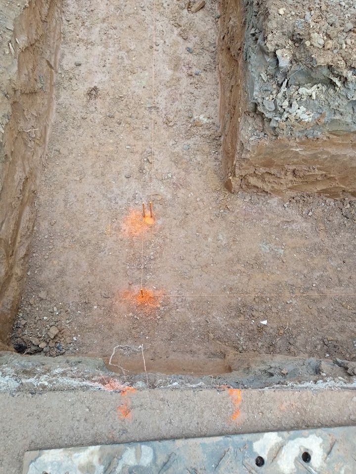
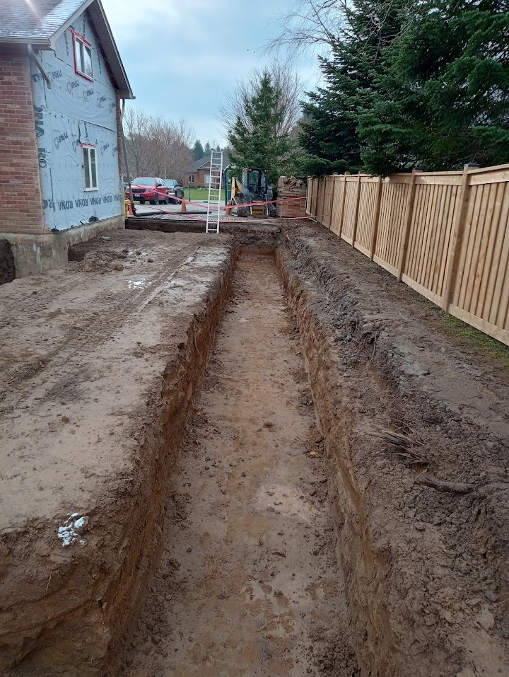
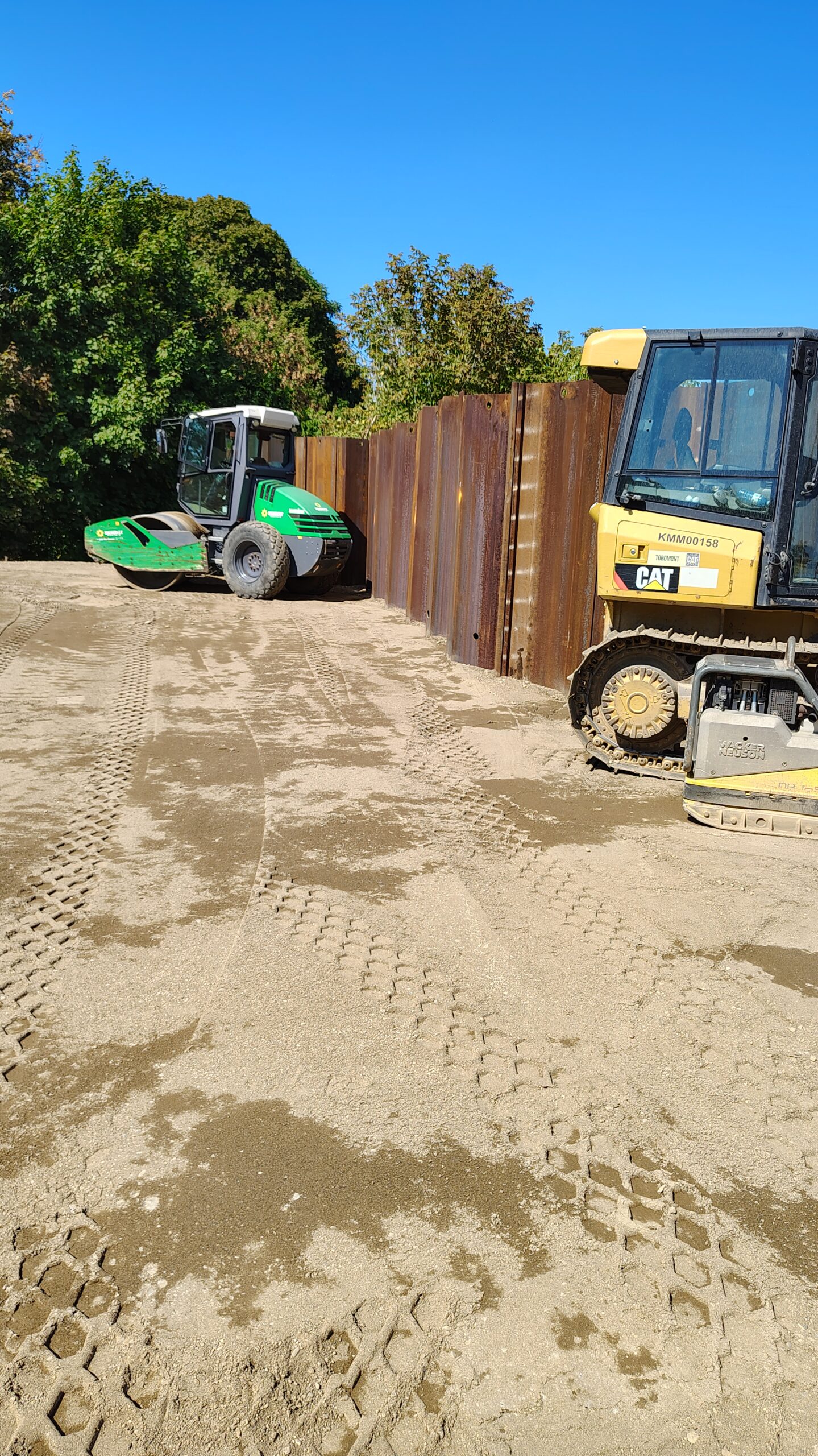


Questions About Grading Surveys
What is a grading survey?
A survey that measures or sets ground elevations before, during or after earthworks, so finished grades can be checked against the approved grading design.
What should I send for a grading survey quote?
Your site location, the design or grading drawings, your project schedule and the survey work you need. We confirm the scope, tolerances and reporting requirements before work begins.
Do you prepare the grading plan?
No. The grading plan is prepared by your engineer or designer. We provide the existing grades they need and check the finished work against their design.
Can you check grades on a lot that is already finished?
Yes. We can measure the existing finished surface and compare it with the approved grading design, so you know where corrections are needed.
When should the final grade check be done?
After final grading and before sod, paving or landscaping cover the surface, so any corrections are still easy to make.
Where We Work
We regularly work in Hagersville and Haldimand County, and provide grading surveys and grade checks across Southern Ontario, including Caledonia, Cayuga and Dunnville, Norfolk County (Simcoe, Port Dover), Brantford and Brant County, Hamilton, the Niagara Region, the Waterloo Region (Cambridge) and GTA communities including Burlington, Oakville and Toronto. Send us the project address and we'll confirm availability. See all service areas.
Explore Our Surveying Services
Surveying Services We Provide

Construction Surveying & Layout
Site control, building and foundation layout, elevation checks before each pour, and progress measurements as the job moves forward.
Read more about Construction Surveying & Layout
Topographic Surveys
A topographic survey records the ground elevations and visible features of your site, so your designer works from real measurements.
Read more about Topographic Surveys
As-Built Surveys
Construction drawings show what was designed. As-built surveying records what was actually built.
Read more about As-Built Surveys
Monitoring Surveys
Construction monitoring surveys for movement and settlement of structures and excavations, with repeat measurements and clear reporting.
Read more about Monitoring Surveys
LiDAR & SLAM LiDAR Scanning
SLAM LiDAR scanning for buildings, interiors and complex sites. Dense 3D point clouds and as-built data.
Read more about LiDAR & SLAM LiDAR Scanning
Drone Surveying
Drone surveying and mapping for construction, site development and earthworks projects across Southern Ontario.
Read more about Drone SurveyingRequest a Quote
Planning a project? Send your site location, drawings, schedule and the survey work you need. Call 519-410-3981 or email info@geovisionsurveying.com to discuss scope and availability.