


Geo Vision Surveying IncServices
Geomatics Surveying Services
Construction layout, topographic, grading, as-built, monitoring, SLAM LiDAR and drone surveying services for projects across Southern Ontario.
Mon-Fri 8am-5pm, Sun 9am-4pm
28+
Combined Years Of Experience
795+
Projects Completed
755+
Satisfied Clients
Team of 3
Explore Our Surveying Services
Surveying Services We Provide
At Geo Vision Surveying Inc, we combine decades of field experience with industry-leading geospatial technology to deliver precise, reliable data. From high-accuracy construction staking to advanced 3D LiDAR mapping, our surveying services are tailored to meet the rigorous demands of Ontario’s engineering and development sectors.

Topographic Surveys
A topographic survey records the ground elevations and visible features of your site, so your designer works from real measurements.
Read more about Topographic Surveys
Construction Surveying & Layout
- Construction, building and foundation layout
- Construction progress measurements
Site control, building and foundation layout, elevation checks before each pour, and progress measurements as the job moves forward.
Read more about Construction Surveying & Layout
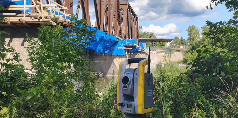
Monitoring Surveys
Construction monitoring surveys for movement and settlement of structures and excavations, with repeat measurements and clear reporting.
Read more about Monitoring Surveys
As-Built Surveys
Construction drawings show what was designed. As-built surveying records what was actually built.
Read more about As-Built Surveys
Grading Surveys
Grading layout, elevation checks and earthworks surveying for residential lots, commercial sites and construction projects.
Read more about Grading Surveys
Drone Surveying
Drone surveying and mapping for construction, site development and earthworks projects across Southern Ontario.
Read more about Drone Surveying
LiDAR & SLAM LiDAR Scanning
SLAM LiDAR scanning for buildings, interiors and complex sites. Dense 3D point clouds and as-built data.
Read more about LiDAR & SLAM LiDAR Scanning
Site Control & Elevation Verification
Control checks, grade checks and elevation verification for builders and contractors.
Read more about Site Control & Elevation VerificationHow It Fits Together
Most Projects Use More Than One Survey
Before design
A topographic survey records existing conditions before design.
Layout
Construction layout puts the approved drawings on the ground.
Check
Grade checks and as-built surveys confirm what was built before the next stage.
Add where needed
SLAM LiDAR scanning for buildings and complex sites, drone surveying for larger open sites, and monitoring surveys for work next to existing structures.
Service Areas
Surveying Services Near Your Project
Not sure which survey you need? Tell us about your project.