


Topographic Surveys and Construction Layout in Guelph
Existing site measurements for design, layout from approved drawings and construction-stage checks for Guelph homes, additions and site improvements.
Mon-Fri 8am-5pm, Sun 9am-4pm
- 28+Combined Years Of Experience
- 795+Projects Completed
Geo Vision Surveying Inc works with Guelph homeowners, designers, builders and contractors on measured site information, from the first visit before design to a record of the finished work. Whether the job is an addition to an older home near the downtown core or site work on a newer lot, we begin by asking what your designer or engineer needs to see and which construction stage comes next.
Serving Guelph from Hagersville
Guelph grew from the point where the Speed and Eramosa rivers meet, and John Galt's 1827 town plan set out streets radiating from the Speed River. Many older buildings in the core were built from locally quarried limestone. We travel to Guelph from our base in Hagersville along the Highway 6 corridor, so a full site address and a note on parking or gate access help us plan the visit.
On an occupied lot or an active build, let us know who can open gates, where a vehicle and tripod can be set up, and whether there are quiet hours or limits on work times.
Surveying Guelph sites: the services we provide
Existing-conditions and topographic surveys
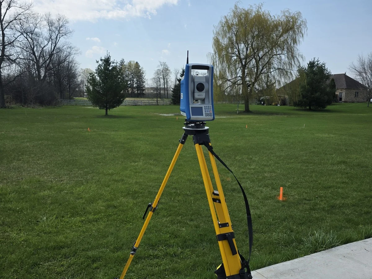
Before an addition or a new design goes on paper, a topographic survey captures ground elevations along with the house, walkways, driveways, retaining walls and trees. On an older Guelph lot, mature trees and nearby walls can block sight lines, so list the features your designer must have and we will plan instrument positions around them.
Building and foundation layout
Once drawings are approved, Building and foundation layout puts the design on the ground as offsets for the excavator and marks for the forming crew. Requested elevation checks can be added at the same visits. For site control and stage-by-stage measurement across a longer build, see our construction surveying service.
Grading checks and construction as-builts
We take grading measurements so finished ground can be compared with the elevations your designer supplied. As-built surveying captures footings, services or hard surfaces while they are still exposed, or whenever your team needs a record of completed work. Grading design itself stays with the project's engineer or designer.
Existing-building scanning and models
Renovating a limestone or brick building often starts with knowing exactly what is already there. SLAM LiDAR scanning records the accessible walls, floors and openings, and our Scan-to-BIM modelling is produced in-house from that data. The rooms, elements and level of detail are set out in the quote. Framing or services hidden behind finishes cannot be seen by the scanner.
Guelph drawing and permit context
The City of Guelph's residential building-permit guidance lists drawings of existing structures and proposed work among its submission requirements. It also notes that a site plan may not be needed for certain permit types, such as finishing a basement. That distinction matters: the survey should match the actual project, rather than being ordered simply because construction is planned.
The City's infill-house checklist includes grading and drainage information among the required submission material. Ask your designer and the City which current requirements apply before fieldwork. We provide the agreed measurements used by your project team, not the complete design or every document needed for a submission.
If the site has existing trees or restricted access around buildings, identify those conditions when requesting a quote. They affect what can be observed and how the survey can be carried out, without changing the designer's responsibility for the proposed work.
What to send for a Guelph quote
- The street address and a short description: addition, new building or site improvement.
- Where the design stands now, and the measurement list from your designer or engineer.
- Any site, foundation or grading drawings you already have.
- Planned dates for digging and for pouring concrete.
- Gate or parking notes, and who will use the survey files.
Guelph surveying FAQs
Can you help before the design is finished?
Yes. Design usually starts from a topographic survey of the existing lot. Settle the coverage and detail with your designer before we book the visit.
Does every renovation require a site survey?
No. Requirements depend on the work. Guelph's guidance notes that certain permit types may not need a site plan. Ask the City and your designer what your project needs.
Can you model an existing building from a scan?
Yes. The scan data becomes an in-house model, and the quote lists which floors, walls and openings are modelled and to what detail.
Can an as-built survey replace the permit drawings?
No. An as-built shows where agreed features ended up after construction. Permit drawings, submissions and inspections are separate items your project team arranges.
Related pages
Construction surveying · Topographical surveying · Grading · As-built surveying · Monitoring · Projects · Blog
· All service areas · Contact us
Nearby areas: Surveying in Cambridge · Surveying in Hagersville · Surveying in Hamilton.
Planning a project in Guelph?
Call 519-410-3981, email info@geovisionsurveying.com or request a quote. Include the Guelph address, the stage your project has reached and any access notes, and we will reply with a proposed scope.
Geo Vision Surveying Inc · Serving Guelph from Hagersville