


Drone Surveying in Ontario
Drone surveying and mapping for construction, site development and earthworks projects across Southern Ontario.
Mon-Fri 8am-5pm, Sun 9am-4pm
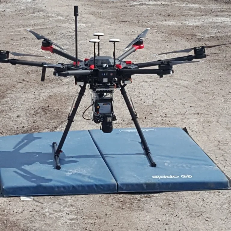
Drone Surveying & Mapping
Geo Vision Surveying Inc provides drone surveying and mapping for construction, site development and earthworks projects across Southern Ontario. We work with contractors, engineers and project owners to define the site coverage and mapping information required.
Project Applications
Drone data collection can support site documentation, topographic mapping and earthworks volume calculations where the site and required survey detail are suitable. We assess each project before confirming the method and scope. For aggregate yards and earthworks, a drone stockpile survey measures pile surfaces so volumes can be calculated and compared between visits.
Planning Your Survey
Flight feasibility, site access, weather and applicable operating requirements are reviewed before scheduling. Coverage, deliverables and turnaround are agreed for each project. Drone flights in Canada must follow Transport Canada’s drone safety rules.
For buildings and interiors, see SLAM LiDAR scanning; for design-grade ground detail, see topographic surveys.
Questions about drone surveying
How accurate is drone surveying?
It depends on ground control, flight height, the camera or sensor and site conditions. We agree the accuracy your project needs before we confirm the method and scope.
How much does a drone survey cost?
It depends on the area, the deliverables and site conditions. Send the site location and what you need for a free quote.
Where we work
We provide drone surveying and mapping across Southern Ontario, including Brantford, Simcoe and Norfolk County, Hagersville and Haldimand County, Hamilton, Cambridge, the Niagara Region, Burlington, Oakville and Toronto. Send us the project address and we’ll confirm availability. See all service areas.
Explore Our Surveying Services
Surveying Services We Provide

Construction Surveying & Layout
Site control, building and foundation layout, elevation checks before each pour, and progress measurements as the job moves forward.
Read more about Construction Surveying & Layout
Topographic Surveys
A topographic survey records the ground elevations and visible features of your site, so your designer works from real measurements.
Read more about Topographic Surveys
As-Built Surveys
Construction drawings show what was designed. As-built surveying records what was actually built.
Read more about As-Built Surveys
Grading Surveys
Grading layout, elevation checks and earthworks surveying for residential lots, commercial sites and construction projects.
Read more about Grading Surveys
Monitoring Surveys
Construction monitoring surveys for movement and settlement of structures and excavations, with repeat measurements and clear reporting.
Read more about Monitoring Surveys
LiDAR & SLAM LiDAR Scanning
SLAM LiDAR scanning for buildings, interiors and complex sites. Dense 3D point clouds and as-built data.
Read more about LiDAR & SLAM LiDAR ScanningNot sure which survey you need? Tell us about your project.