


Construction Monitoring Surveys
Construction monitoring surveys for movement and settlement of structures and excavations, with repeat measurements and clear reporting.
Mon-Fri 8am-5pm, Sun 9am-4pm
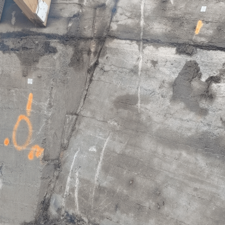
Movement and Settlement Monitoring
Geo Vision Surveying Inc provides construction monitoring surveys that measure changes in the position and elevation of buildings, structures, excavations and ground over time. Where stability matters, for example when excavating next to an existing building or when an engineer needs to watch settlement during construction, we measure agreed monitoring points, compare each round with the baseline and report the results clearly to the project engineer. Monitoring scope, frequency and reporting requirements are agreed before work begins.
What's Included
- Monitoring plan support: we review the engineer's monitoring requirements, the point locations and reading frequency.
- Monitoring points: installing or using agreed targets, prisms or marks on structures and ground, as specified.
- Baseline readings: precise initial measurements of every point before work begins.
- Repeat readings: the same points measured at the agreed intervals or construction stages.
- Comparison and reporting: each round compared with the baseline and earlier rounds, with changes reported in a consistent format.
- Prompt notice: when readings change by more than the limits set by the engineer, we report it promptly so the engineer can review it.
When You Need Monitoring
- Excavation or shoring next to an existing building, wall or road
- Underpinning or foundation work near neighbouring structures
- Retaining walls and embankments during and after construction
- New structures where the engineer wants settlement tracked
- Vibration-sensitive work such as piling or compaction near existing structures
- Whenever the project engineer, owner or permit asks for a monitoring program
Equipment and Methods
Monitoring relies on repeatable measurements from stable reference points. We use robotic total stations to measure targets in position and elevation, and precise levelling methods where settlement is the main concern. Reference points are placed outside the expected zone of movement and checked each round, so measured changes reflect the structure and not the instrument setup. The method, targets and expected precision are agreed with the engineer before the baseline is taken.
Deliverables
Deliverables follow the engineer's requirements and typically include:
- A baseline report with point locations and initial values
- A report for each round showing current values and the change since the baseline and the previous round
- A cumulative summary table, and charts where requested
- Point coordinates in an agreed format
Interpretation of movement and any decisions on construction remain with the project engineer.
Our Process
- Review requirements. Send the engineer's monitoring specification, drawings and schedule.
- Set up references and points. We establish stable reference points and the agreed monitoring points.
- Baseline. We take and report baseline readings before work begins.
- Repeat readings. We measure at the agreed frequency or construction stages.
- Report. Each round is compared and reported, and changes beyond the agreed limits are reported promptly.
- Close out. A final summary is issued when the engineer confirms monitoring can stop.
Monitoring is often paired with as-built surveys and construction layout on the same project.


Questions About Construction Monitoring Surveys
What is settlement monitoring?
Repeated, precise measurements of marked points on a structure or the ground, to detect movement over time and report it to the engineer.
How often are monitoring readings taken?
As often as the project engineer requires. The reading schedule is agreed before the baseline measurements are taken.
Who sets the movement limits?
The project engineer. We measure and report against the limits they set; interpretation and design decisions stay with the engineer.
When should the baseline be taken?
Before any excavation, demolition or other work that could cause movement starts, so every later reading has a clean starting point.
Can monitoring run alongside other survey work on the same site?
Yes. We often combine monitoring rounds with layout or as-built visits on the same project, which keeps the reference points consistent and reduces site visits.
Where We Work
We provide construction monitoring surveys across Southern Ontario, including Haldimand County (Hagersville), Norfolk County (Simcoe), Brantford, Hamilton, the Niagara Region, the Waterloo Region (Cambridge) and GTA communities including Burlington, Oakville and Toronto. Send us the project address and we'll confirm availability. See all service areas.
Explore Our Surveying Services
Surveying Services We Provide

Construction Surveying & Layout
Site control, building and foundation layout, elevation checks before each pour, and progress measurements as the job moves forward.
Read more about Construction Surveying & Layout
Topographic Surveys
A topographic survey records the ground elevations and visible features of your site, so your designer works from real measurements.
Read more about Topographic Surveys
As-Built Surveys
Construction drawings show what was designed. As-built surveying records what was actually built.
Read more about As-Built Surveys
Grading Surveys
Grading layout, elevation checks and earthworks surveying for residential lots, commercial sites and construction projects.
Read more about Grading Surveys
LiDAR & SLAM LiDAR Scanning
SLAM LiDAR scanning for buildings, interiors and complex sites. Dense 3D point clouds and as-built data.
Read more about LiDAR & SLAM LiDAR Scanning
Drone Surveying
Drone surveying and mapping for construction, site development and earthworks projects across Southern Ontario.
Read more about Drone SurveyingRequest a Quote
Not sure which survey you need? Send the engineer's monitoring requirements, drawings and schedule. Call 519-410-3981 or email info@geovisionsurveying.com to discuss your monitoring program.