


Residential Topographic Survey in Oakville
Project at a glance
- Location
- Town of Oakville, Ontario
- Project type
- Topographic survey of a residential property
- Timeline
- Fieldwork on September 13, 2026
- Services
- Topographic survey
What was needed
The property needed a topographic survey: a measured record of what is on the ground today, so the architects, engineers and homeowners planning changes could work from real measurements of the existing grades, structures and features.
The surveying work we carried out
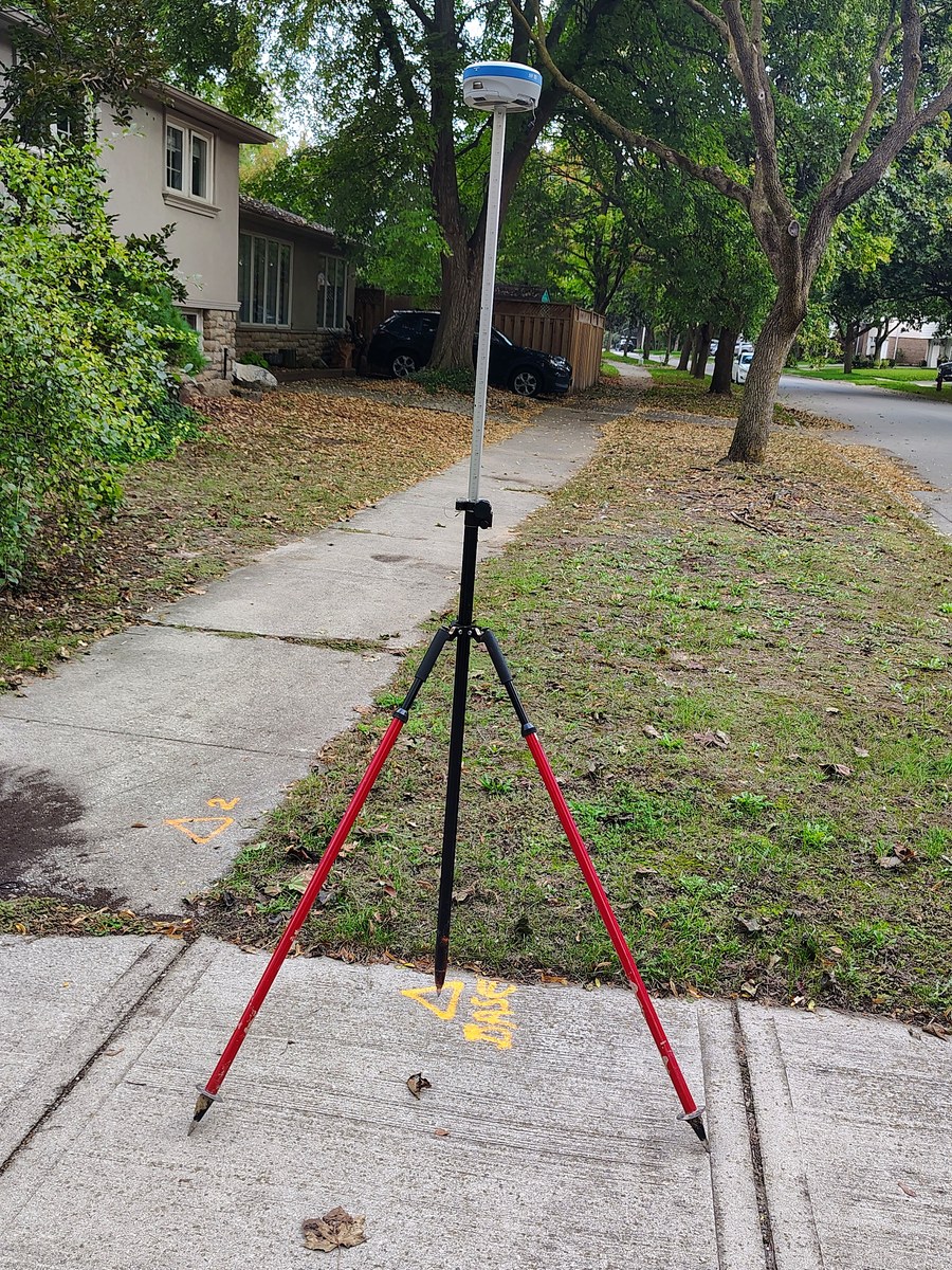
- Used a GNSS receiver out front, under open sky over the street, sidewalk, driveway and front yard
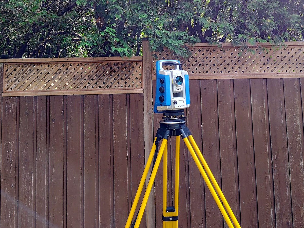
- Used a robotic total station in the backyard, between the fences and mature trees, where satellite signals struggle
- Tied the two together into one consistent dataset of the property’s existing grades, structures and features
Site conditions
Our site photos show a residential street lined with mature trees, a concrete sidewalk and a front lawn. Behind the house, the backyard is enclosed by tall wooden fences with lattice tops and cedar hedges, with mature trees and a lawn. These are the conditions where satellite positioning is weakest.
Methods and equipment
At the front, a GNSS receiver on a range pole with a support stand recorded points under open sky. In the backyard, a robotic total station on a tripod measured the areas under the trees and along the fences. The equipment was moved around the property on a cart.
Why GNSS and a total station were used together
GNSS is fast where the sky is open, such as streets, driveways and front yards. A robotic total station handles tight spaces under trees and along fences. Tying both to the same reference gives one dataset rather than two.
Deliverables
- One combined set of measurements of the property’s existing grades, structures and features for the design team
How a topographic survey is used
A topographic survey supports design and permit planning, for example for a pool, an addition or a new driveway. It records existing conditions.
Project photos
Working with an Ontario Land Surveyor
We can contract an Ontario Land Surveyor on your behalf.
Related services and reading
Need a topographic survey in Oakville?
Tell us about your site and what you need measured or laid out. Send the address, your drawings and your schedule, and we will reply with a quote.