Geo Vision Surveying Inc.
for your Land Surveying and Digital Mapping Needs
In Southern Ontario
Experiences
About Us
We Provide Best
Land Survey &
Digital Mapping Services
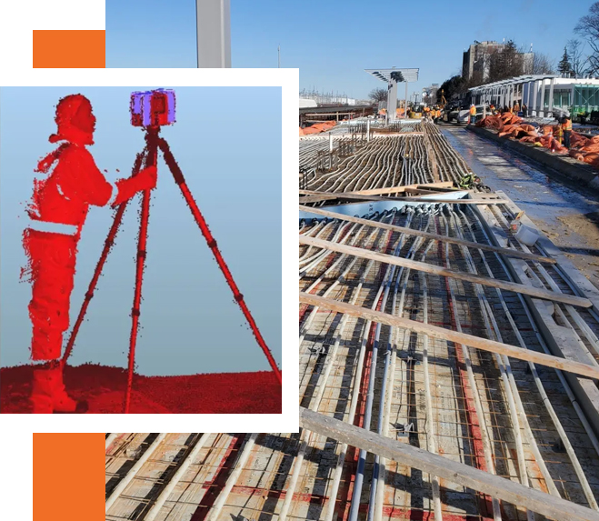
At Geo Vision Surveying, we merge precision artistry with surveying science for unparalleled accuracy. With over 28 years in the field, our team is led by qualified surveyors
Our Services
Services We Provide

Topographical Surveying
Our topographical surveying services are designed to capture the contours and features of the land,

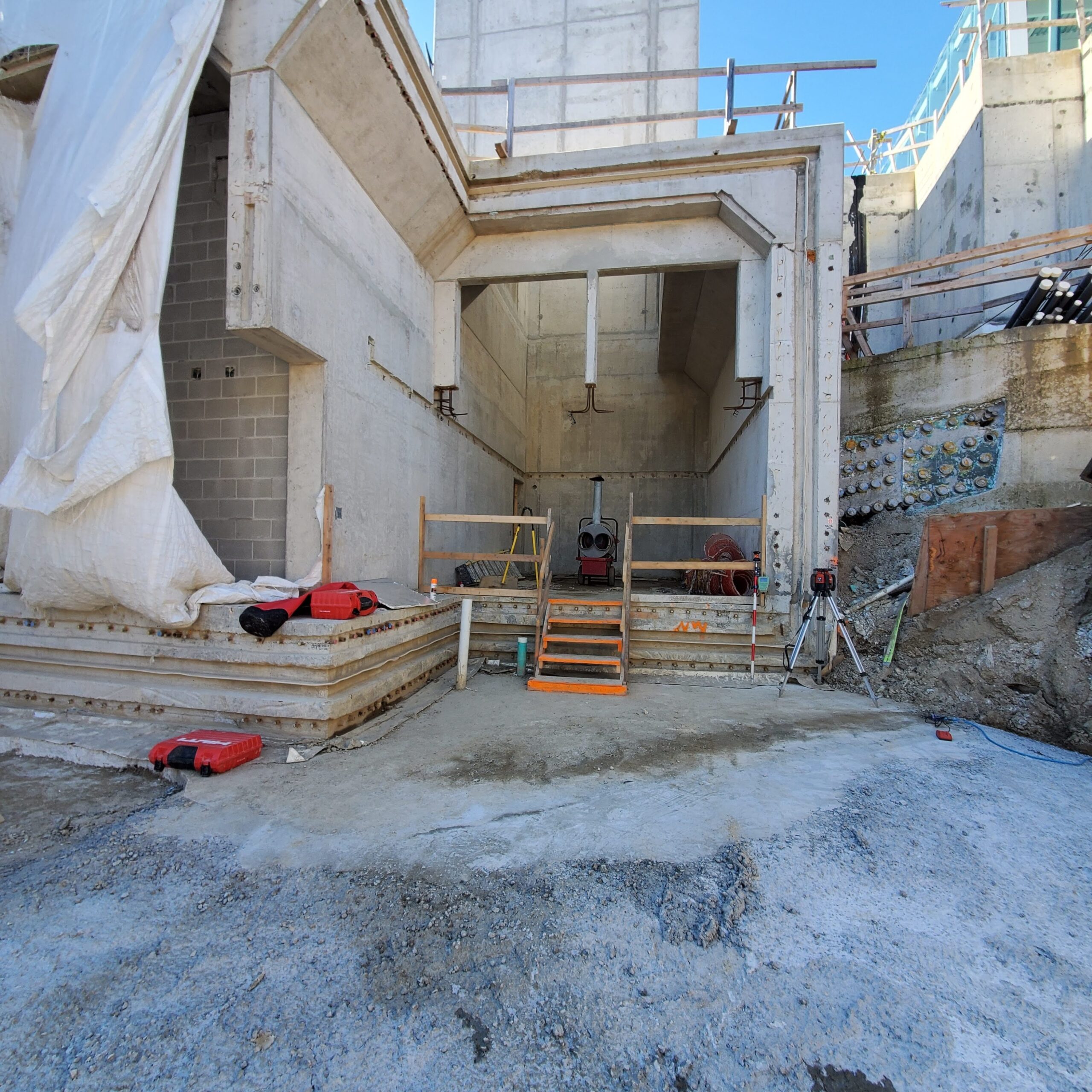
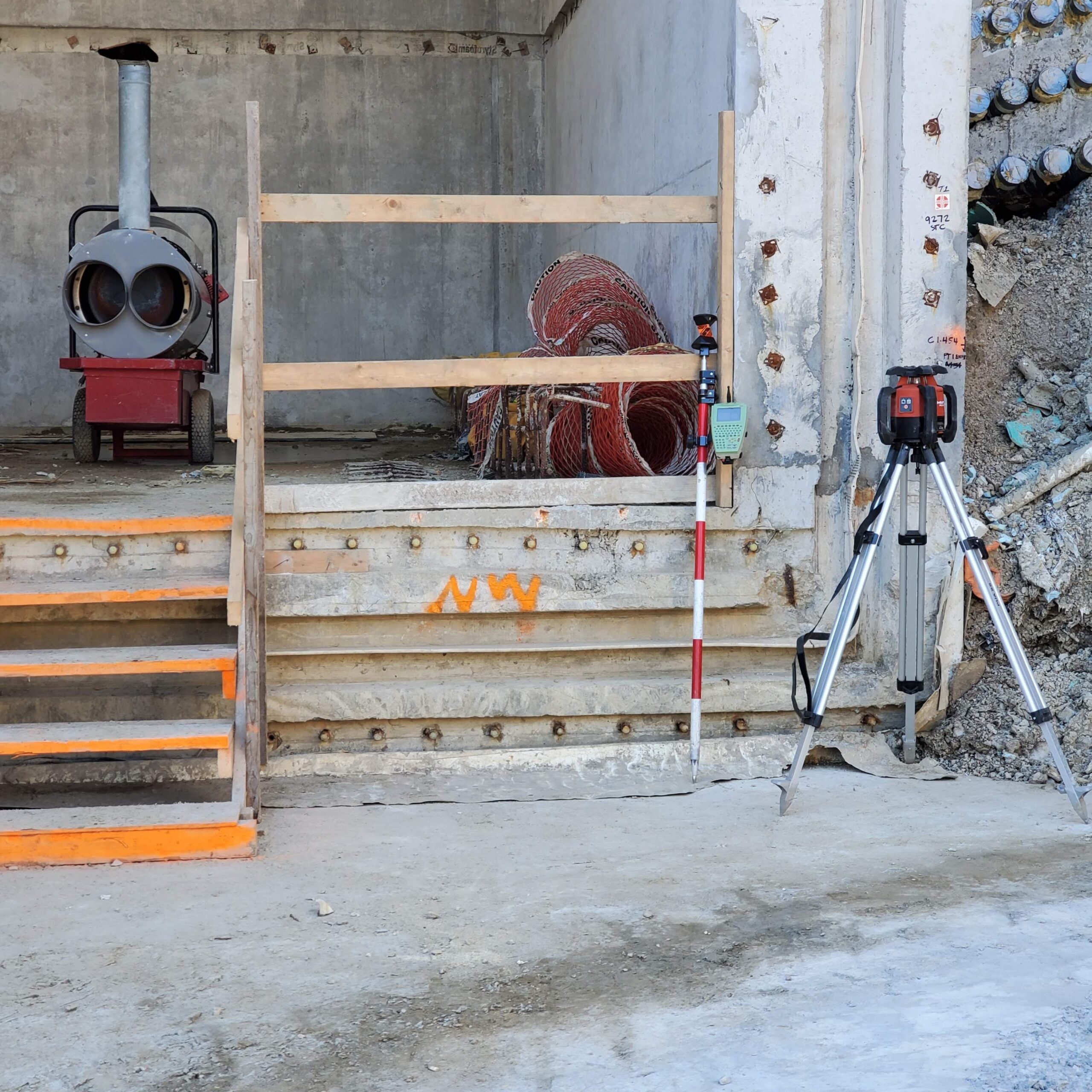
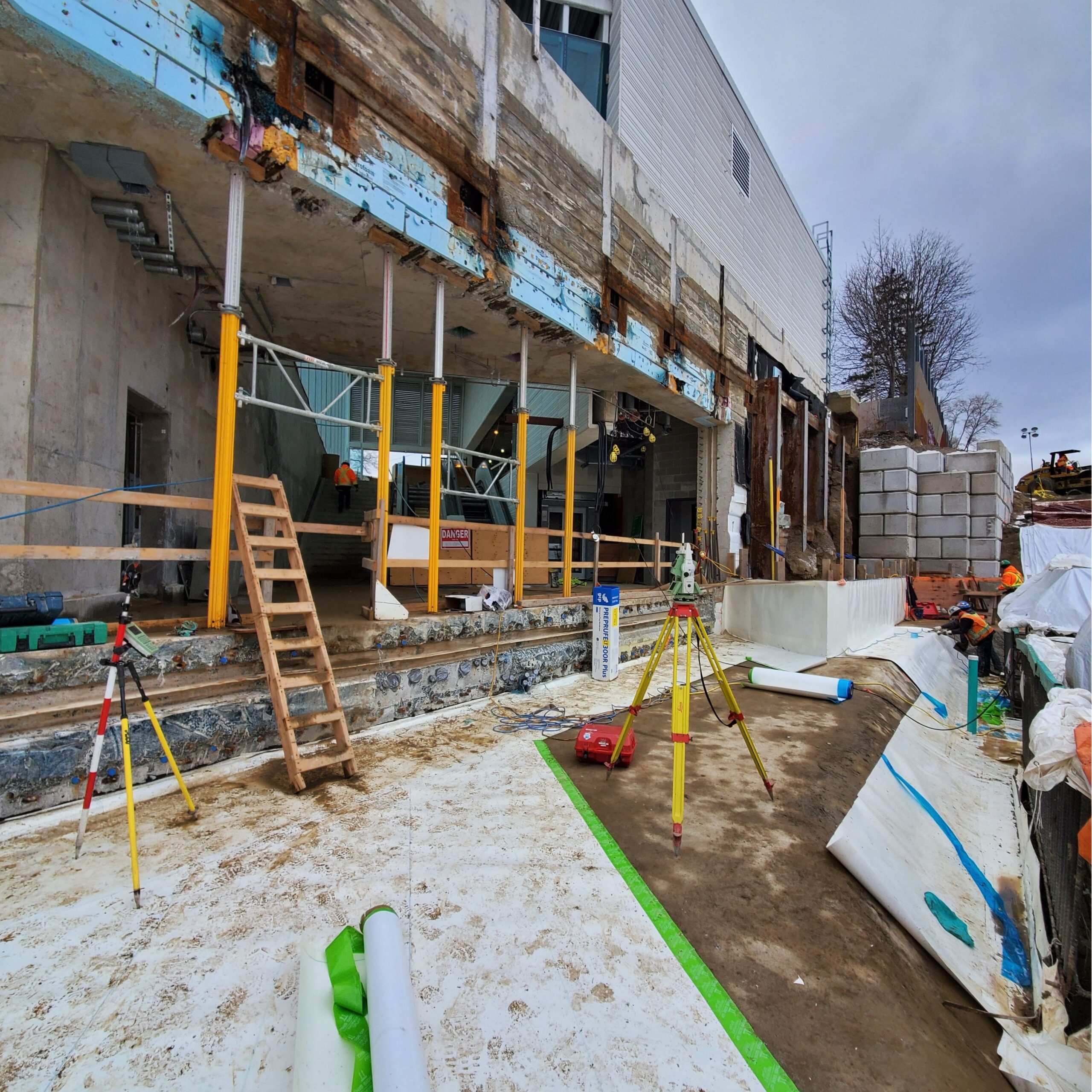
Construction Surveying
Construction surveying is at the core of our expertise. We provide critical measurements and layout services

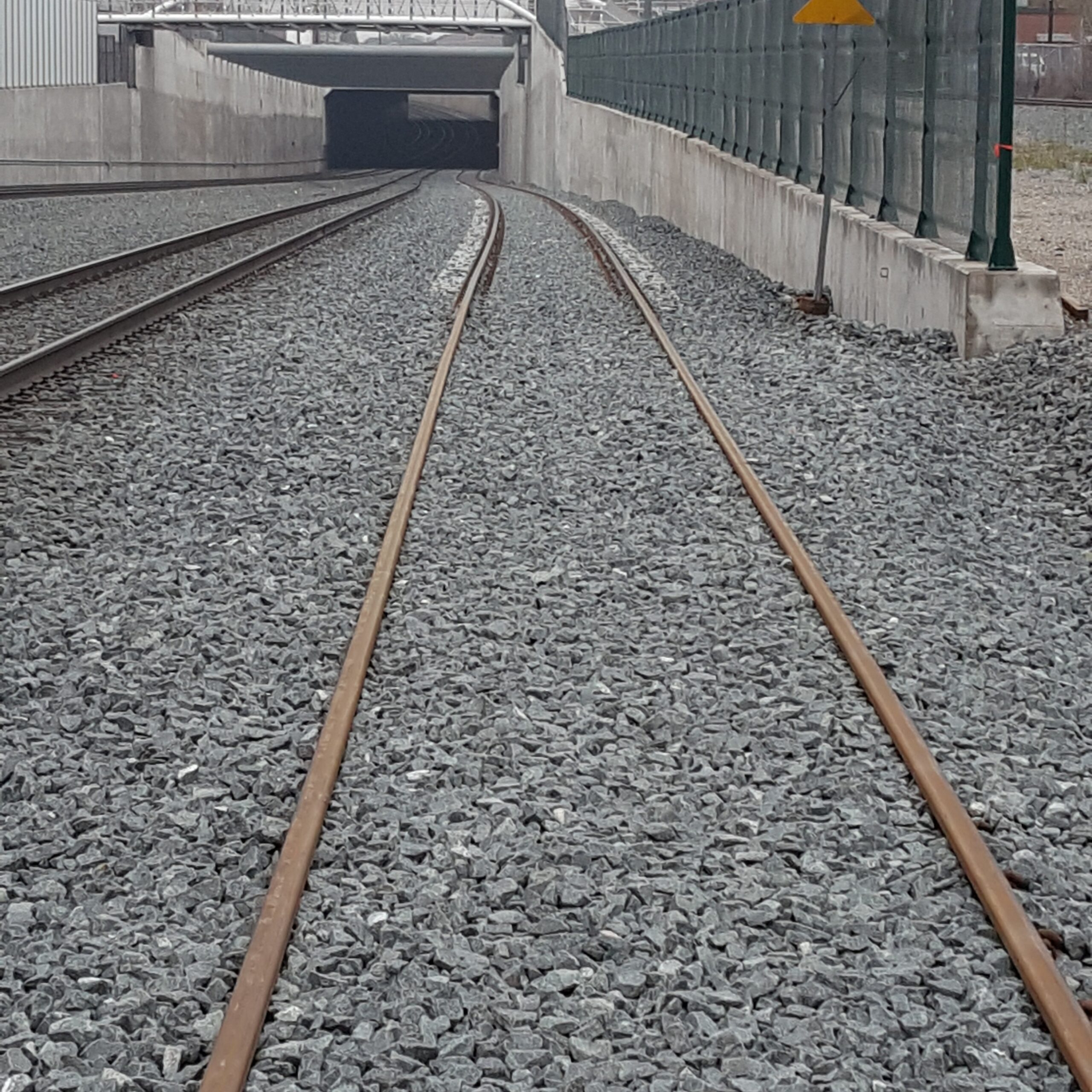
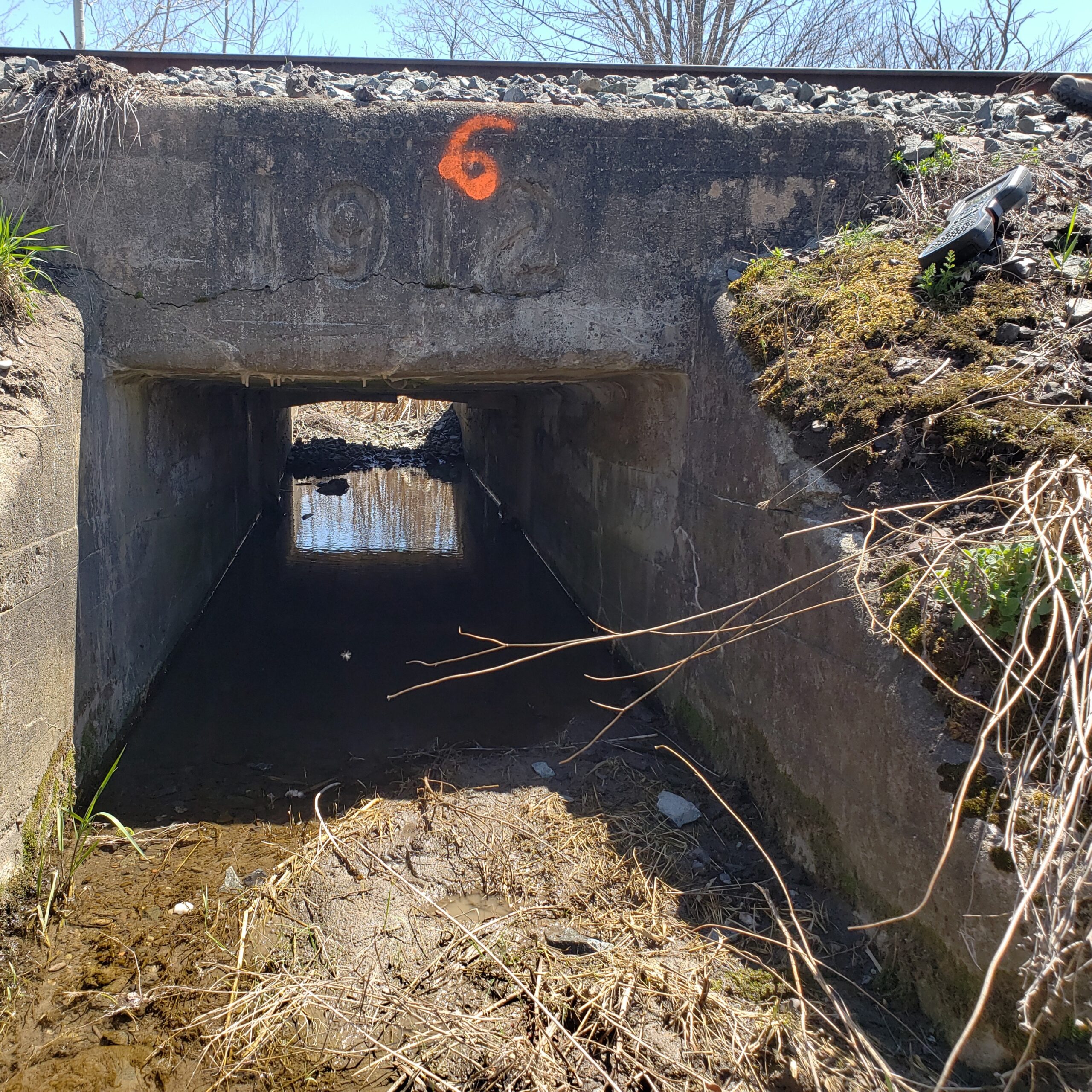
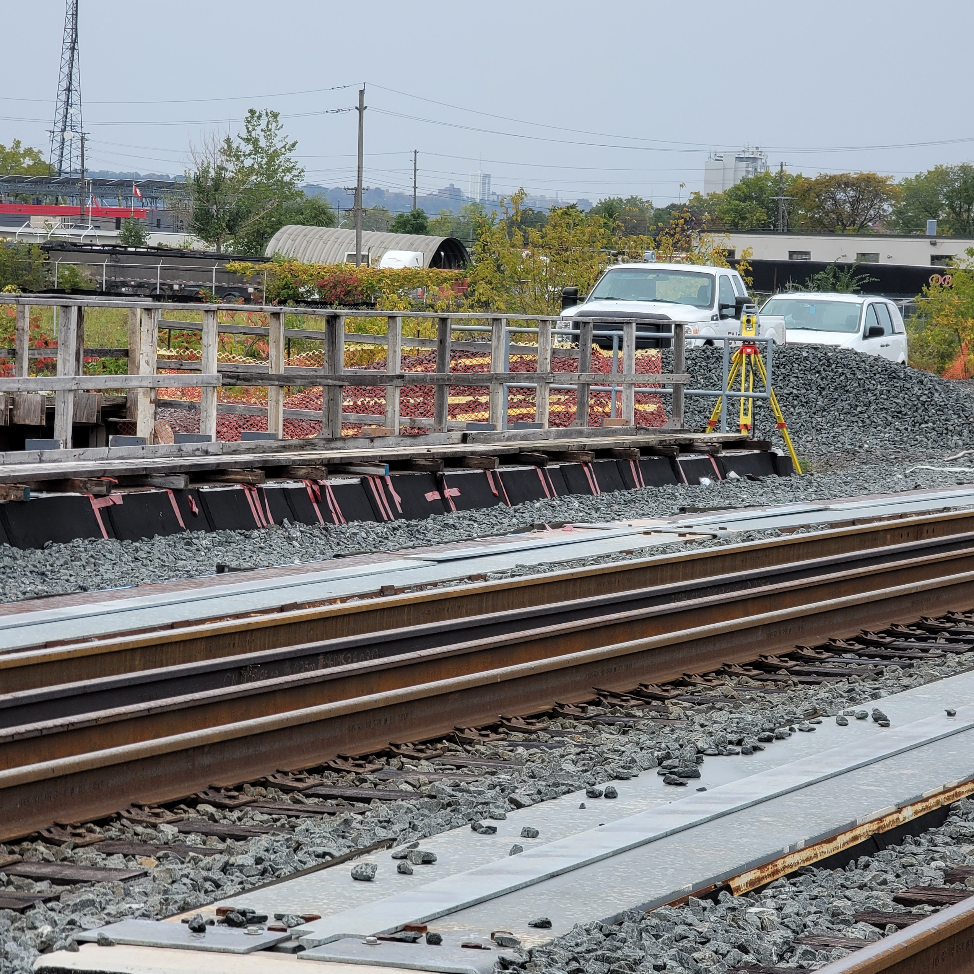
Railway Surveying
We specialize in railway surveying, offering comprehensive services for track surveying and alignment. Our

Topographical Surveying
Our topographical surveying services are designed to capture the contours and features of the land,

Construction Surveying
Construction surveying is at the core of our expertise. We provide critical measurements and layout services

Topographical Surveying
We specialize in railway surveying, offering comprehensive services for track surveying and alignment. Our
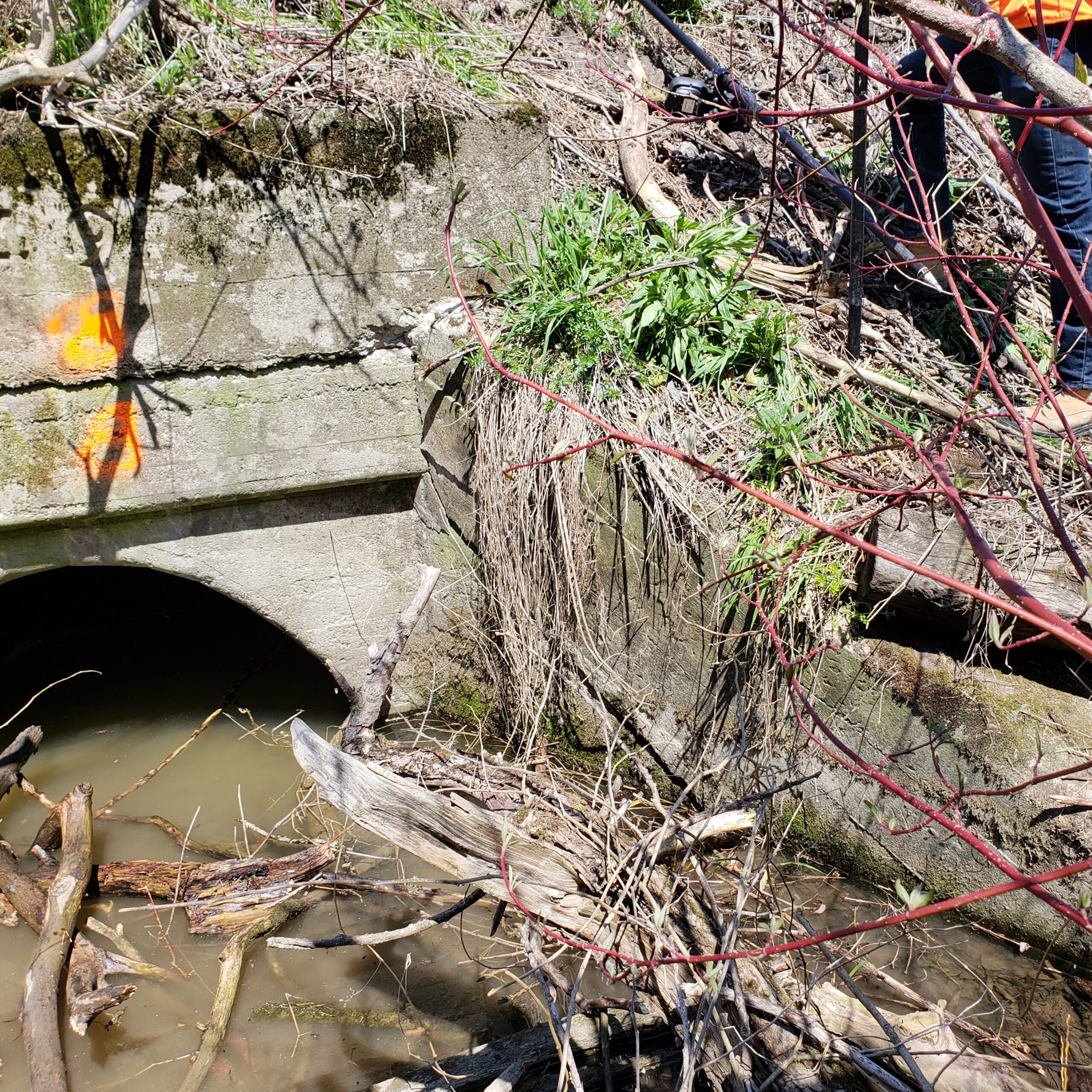
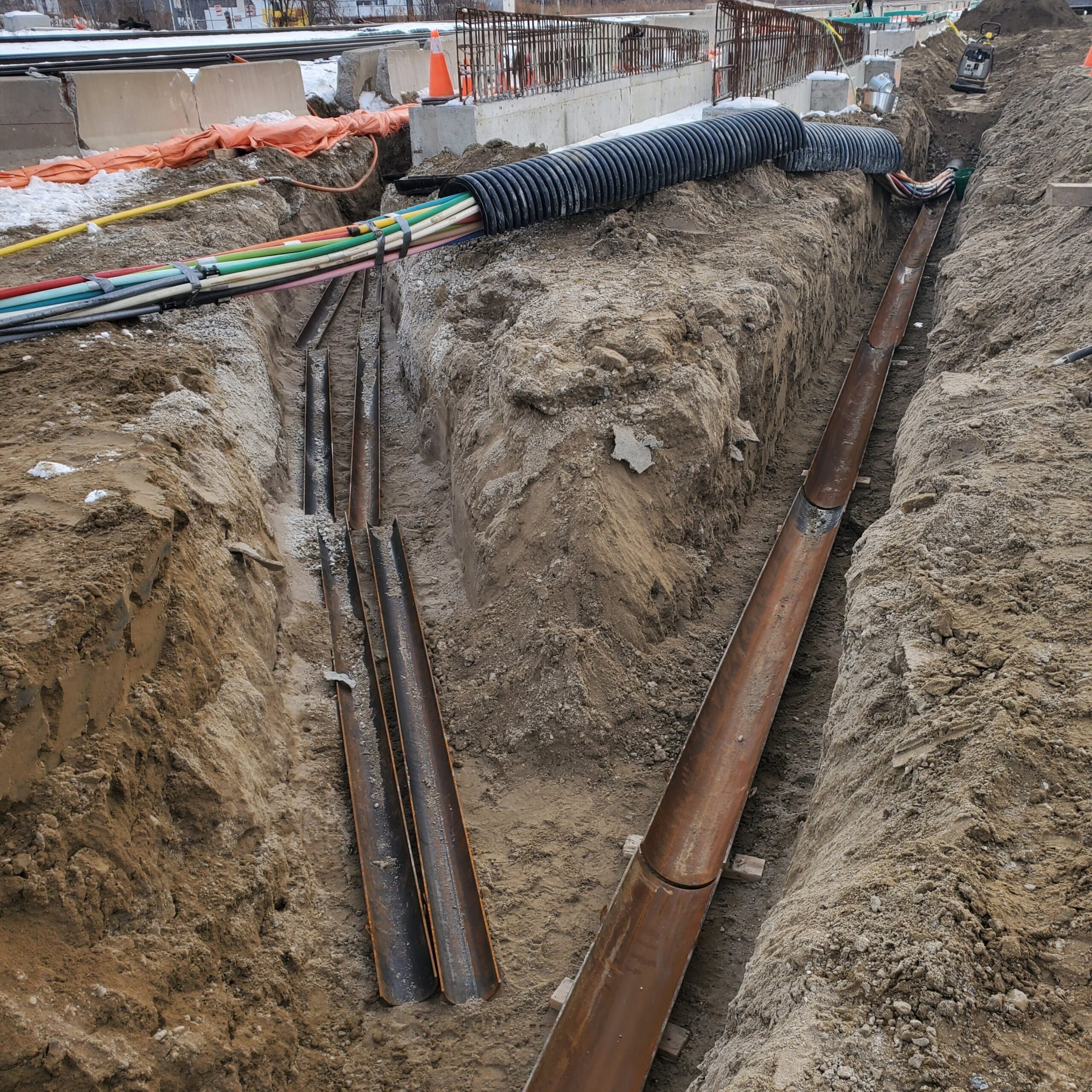
Our Project
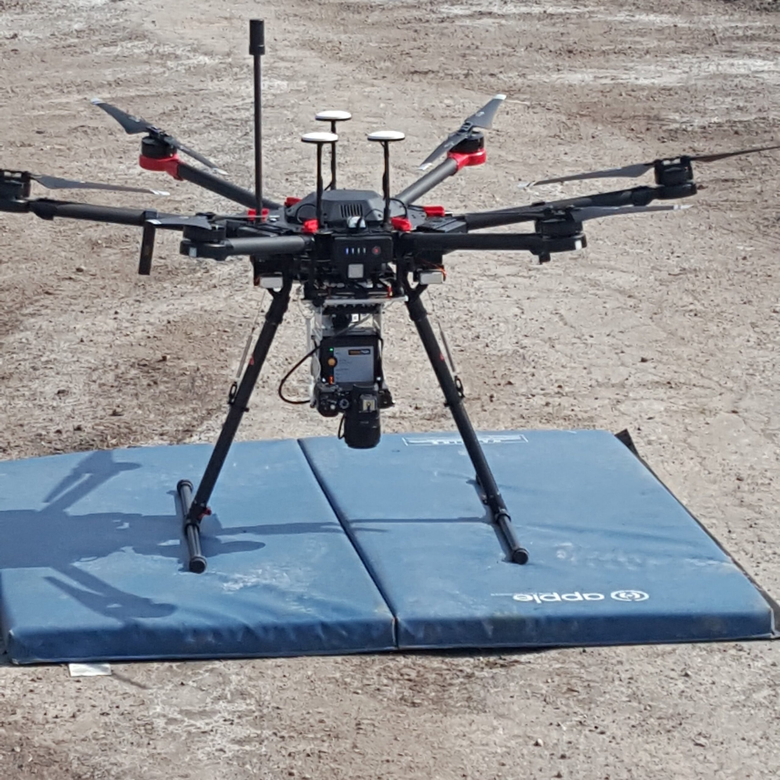
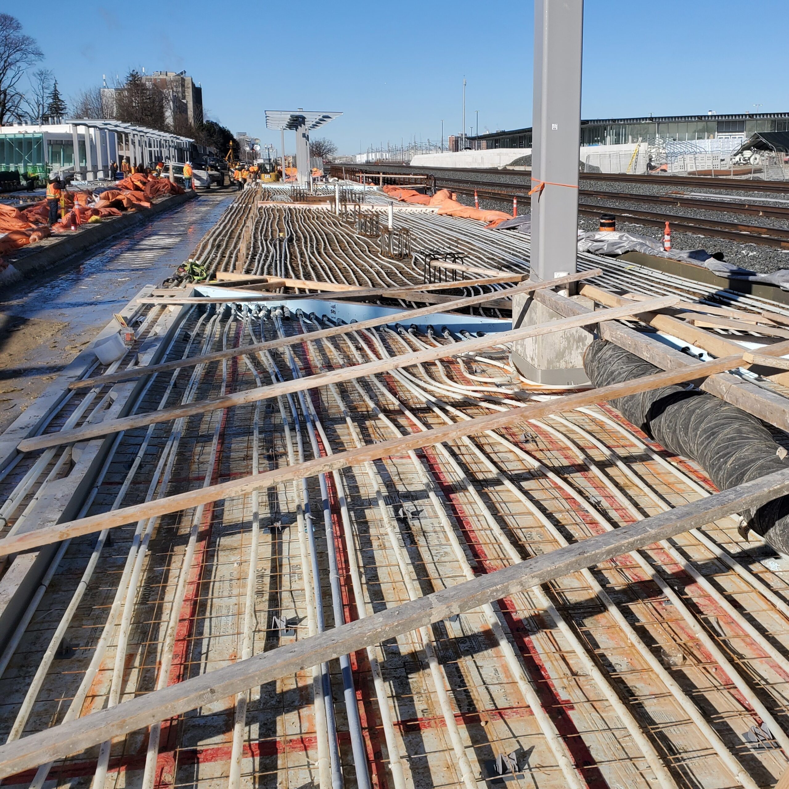
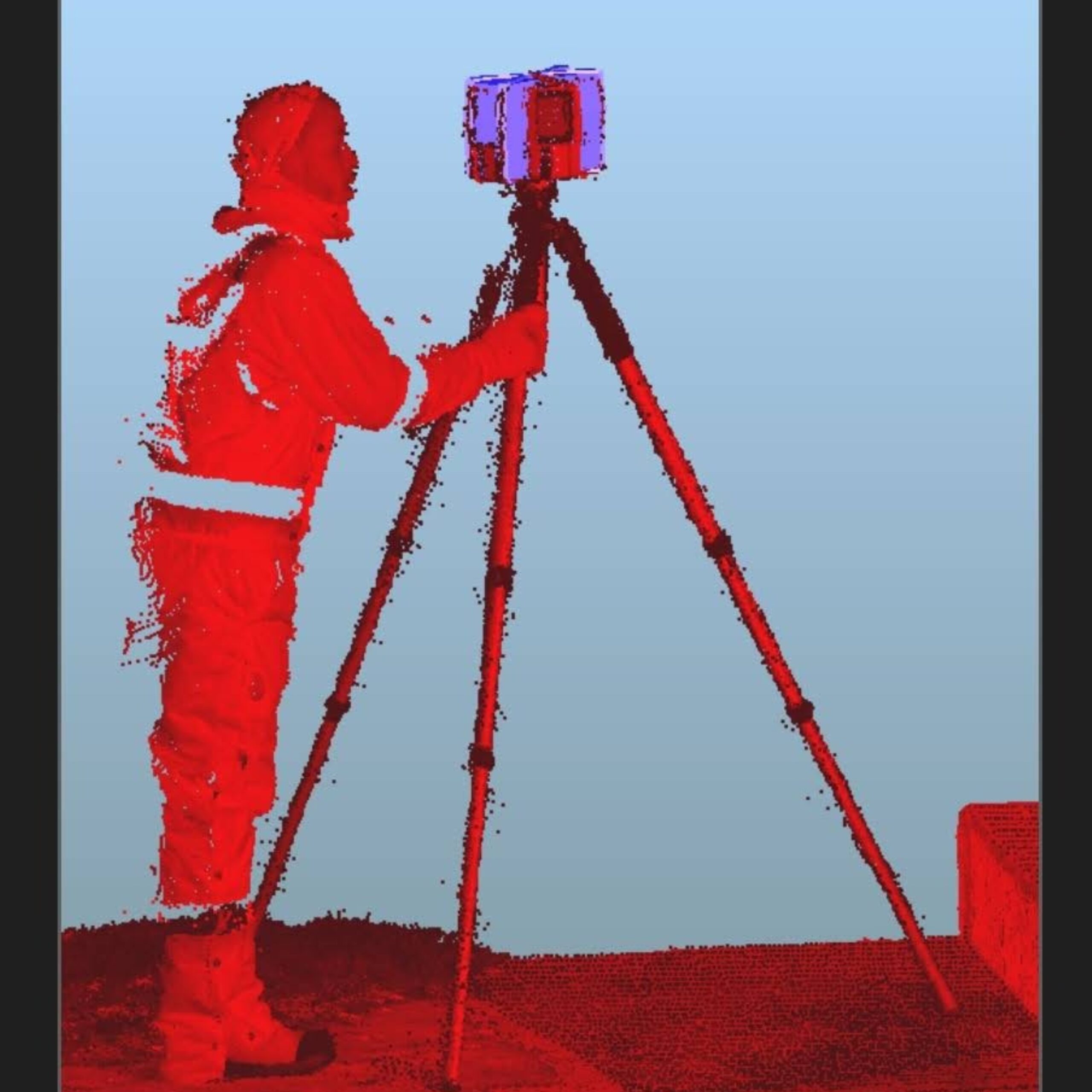
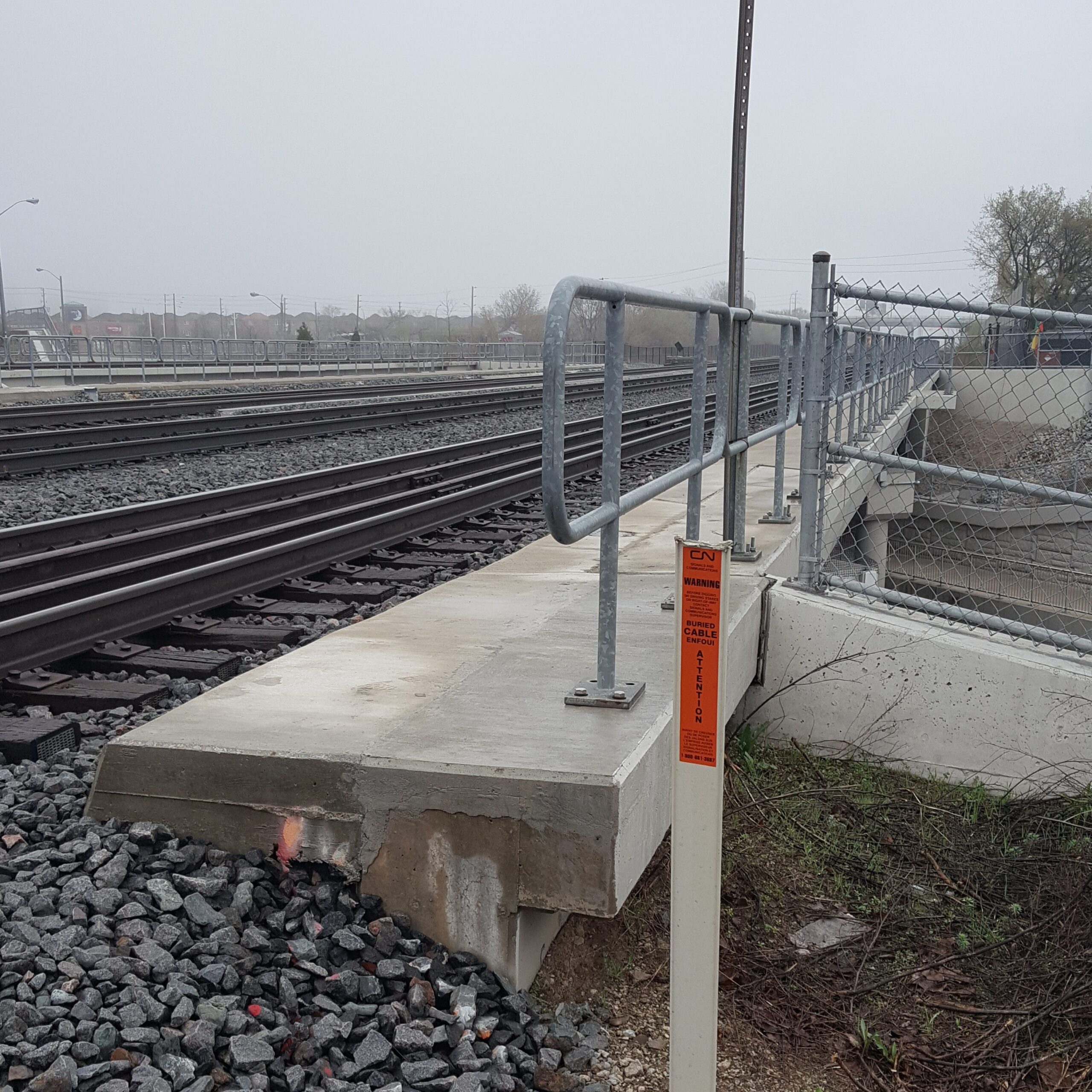


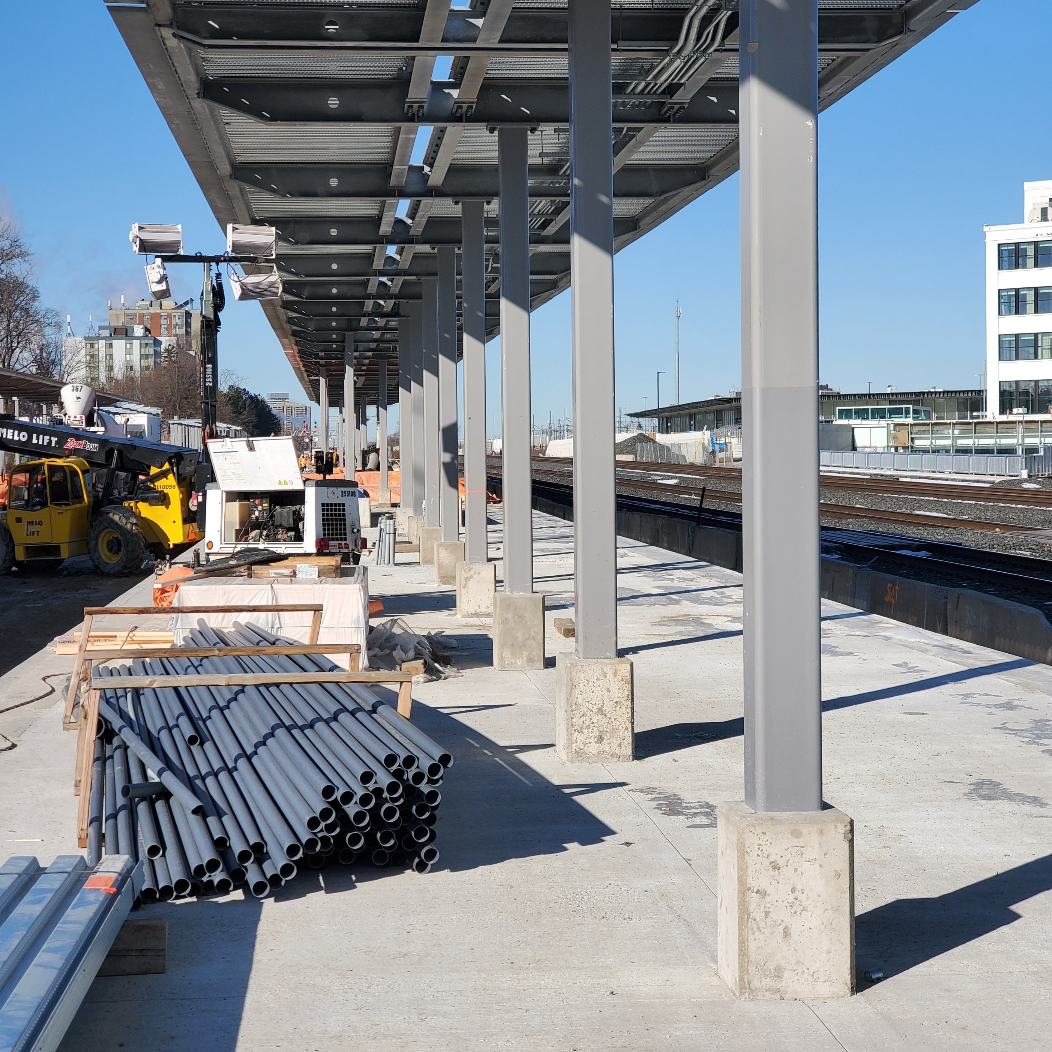
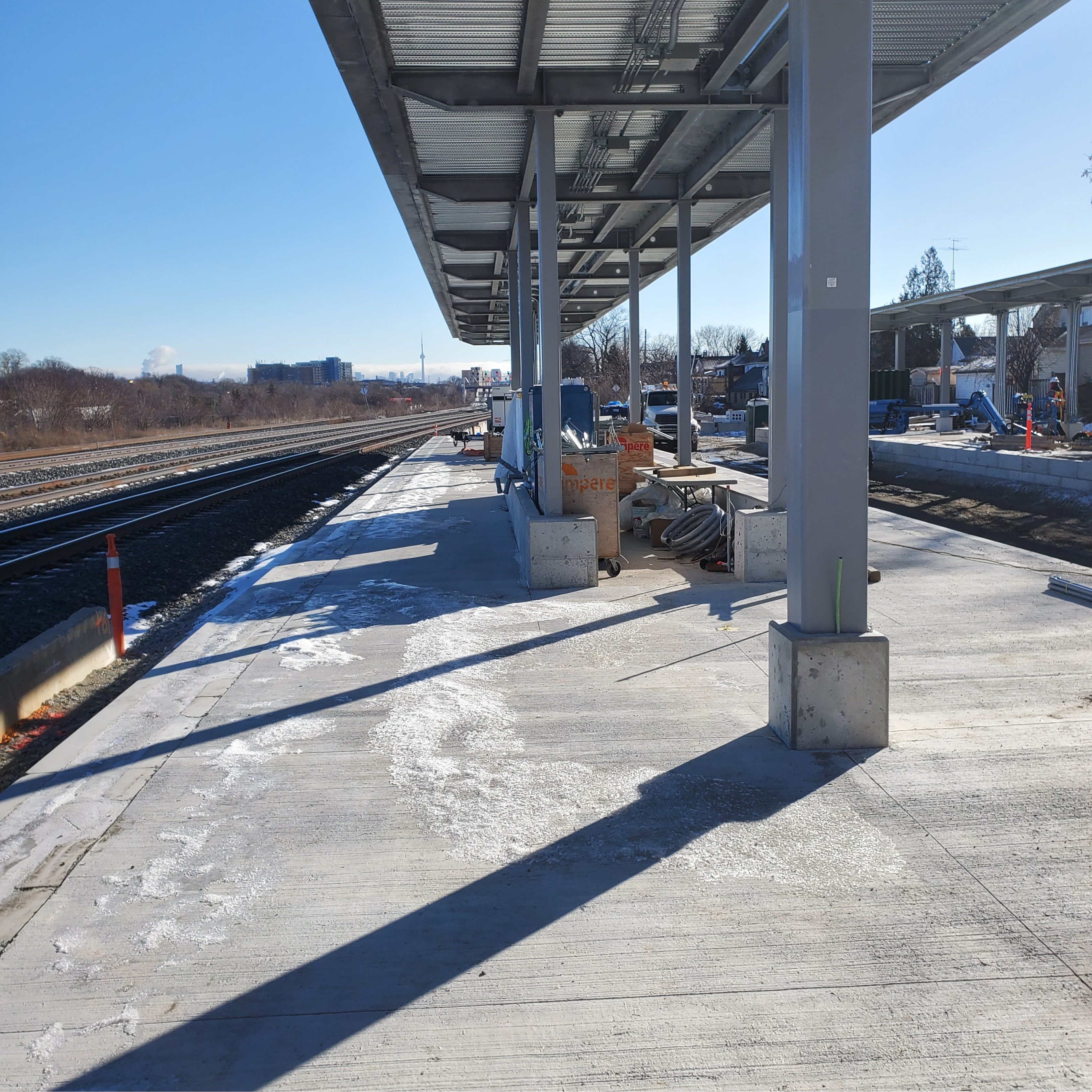


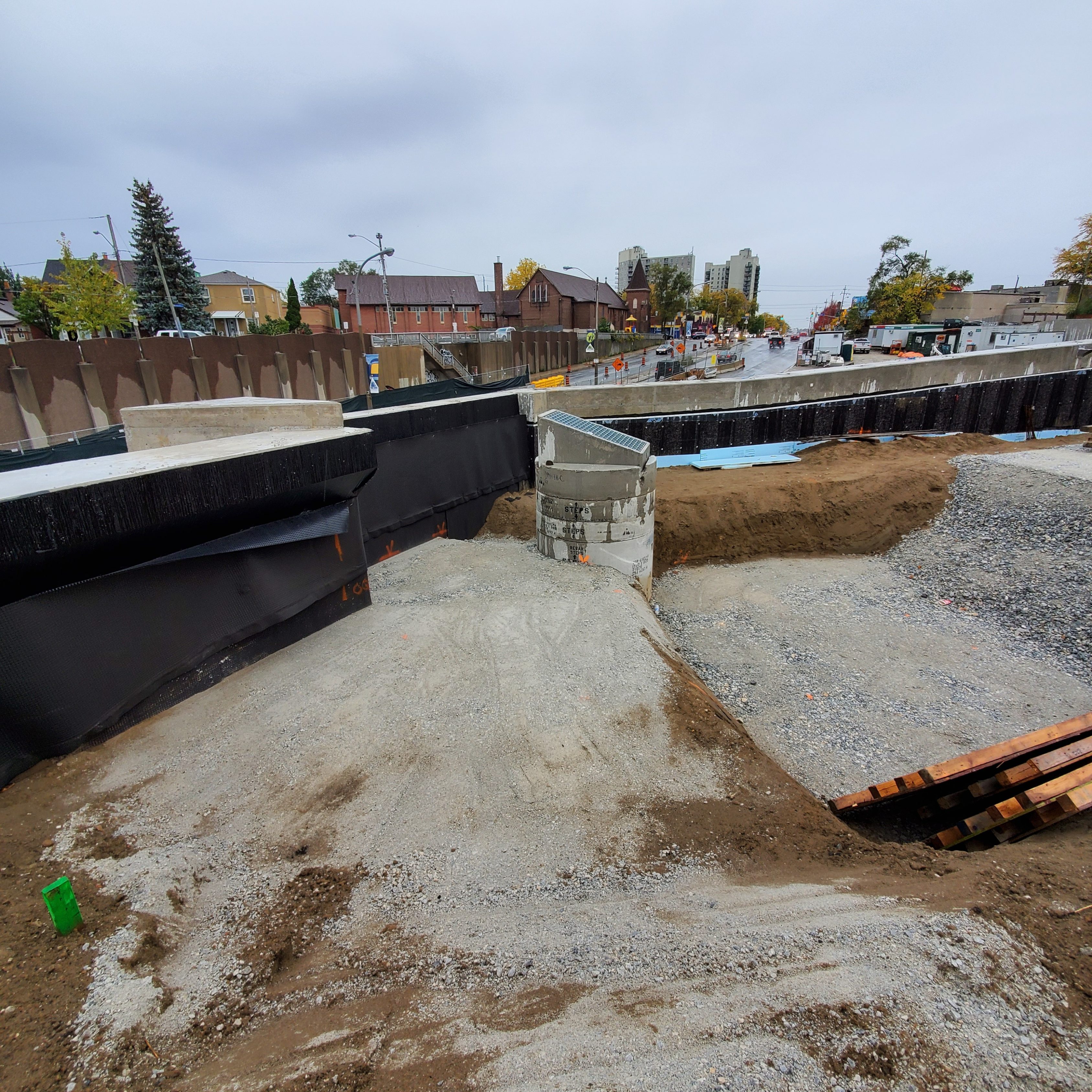
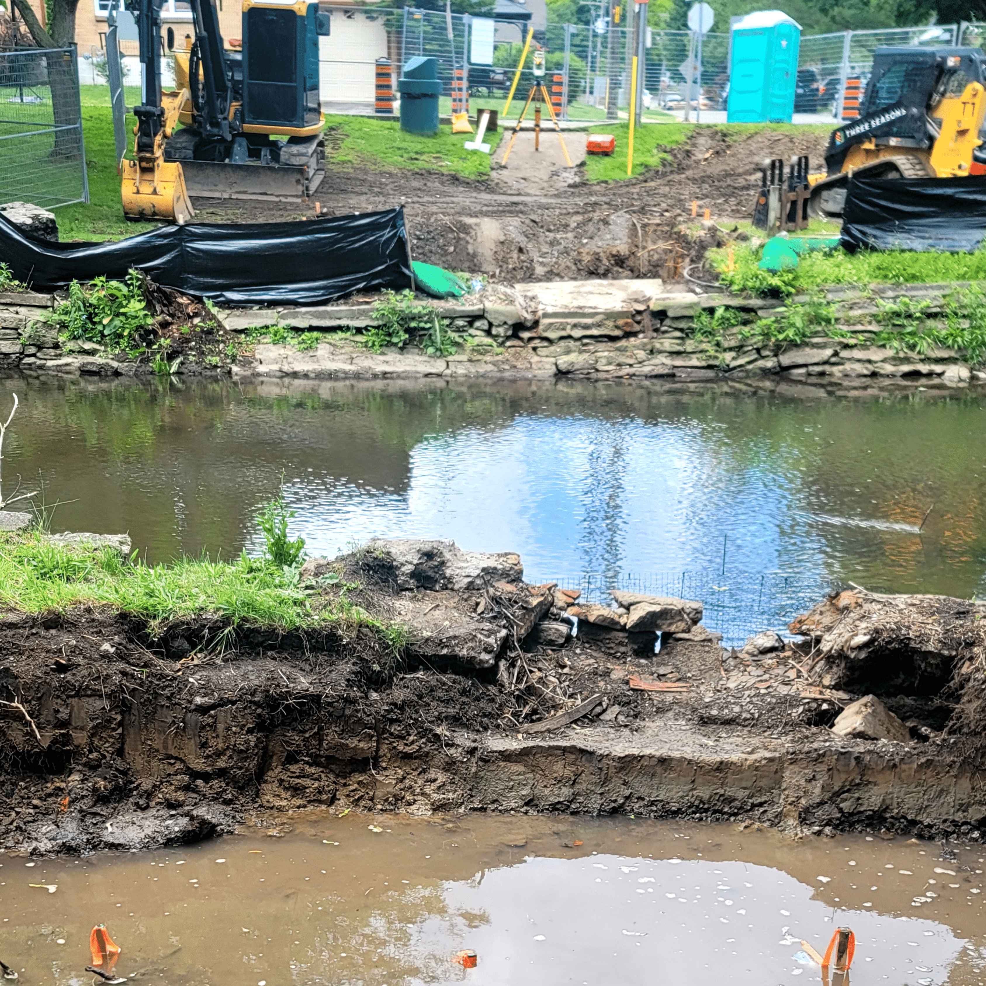
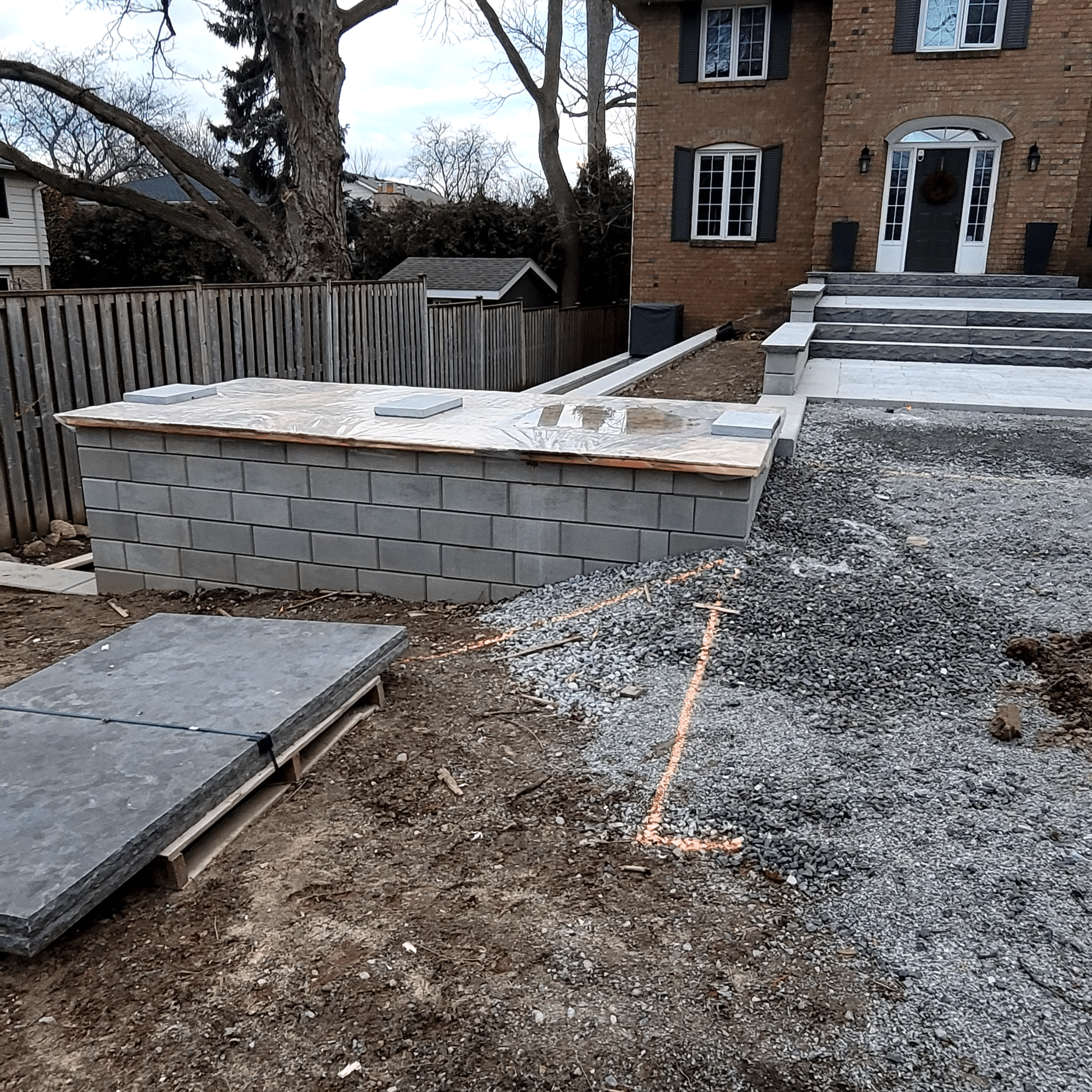


Yes, we offer topographical surveying services for residential properties, which are essential for landscaping, property extensions, and accurate land assessment for various purposes.


