


Construction and Topographic Surveying in Burlington
Construction layout, topographic data for Burlington grading and drainage plans, grade checks and as-builts for infill homes and additions.
Mon-Fri 8am-5pm, Sun 9am-4pm

- 28+Combined Years Of Experience
- 795+Projects Completed
When we’re surveying Burlington infill lots, additions and new homes, the work follows the permit process: existing grades before design, layout once the drawings are approved, and grade checks and as-builts as the house goes up. Geo Vision Surveying Inc provides construction layout, topographic surveys, grading measurements and as-built surveys for builders, designers, contractors and homeowners in Burlington. We travel to Burlington from our base in Hagersville.
Surveying Burlington projects: from existing grades to as-built
Topographic data for grading and drainage plans
Before a Burlington grading and drainage plan can be drawn, the person preparing it needs measured existing conditions: ground elevations across the lot and beyond the property lines, existing buildings and window wells, driveways and other hard surfaces, swales, ditches, culverts and drainage structures, and trees. When surveying Burlington lots for a grading plan, we collect these measurements to the scope your engineer or designer sets. Locate marks are surveyed if the scope requires buried utilities to be shown. → Topographical surveying
Building layout for infill and additions
Once the plan is approved and the permit is issued, we set out the house or addition from your approved drawings: building corners, footing lines, offsets from the existing house and elevation references, so the excavator and form crew build in the right place and at the right height. When surveying Burlington infill lots with neighbours close by, we check layout again before concrete is placed. → Construction surveying
Grade checks and as-builts during construction
As the job goes on, we check footing, foundation and finished grades against the approved design, and record completed foundations and site features before they’re backfilled or covered. We provide the measurements and survey data. Grading and drainage design by an engineer or designer isn’t included in our surveying service. → Grading surveying · As-built surveying
SLAM LiDAR and drone surveying
Planning a renovation or an addition to an older house? SLAM LiDAR scanning captures a detailed 3D point cloud of the existing building. Available deliverables and file formats are confirmed in the quotation. Point-cloud processing, CAD drawings and any scan-to-BIM modelling are included only where expressly agreed. Drone surveying suits larger open sites where airspace rules allow. → LiDAR surveying · Drone surveying
How Burlington projects usually run
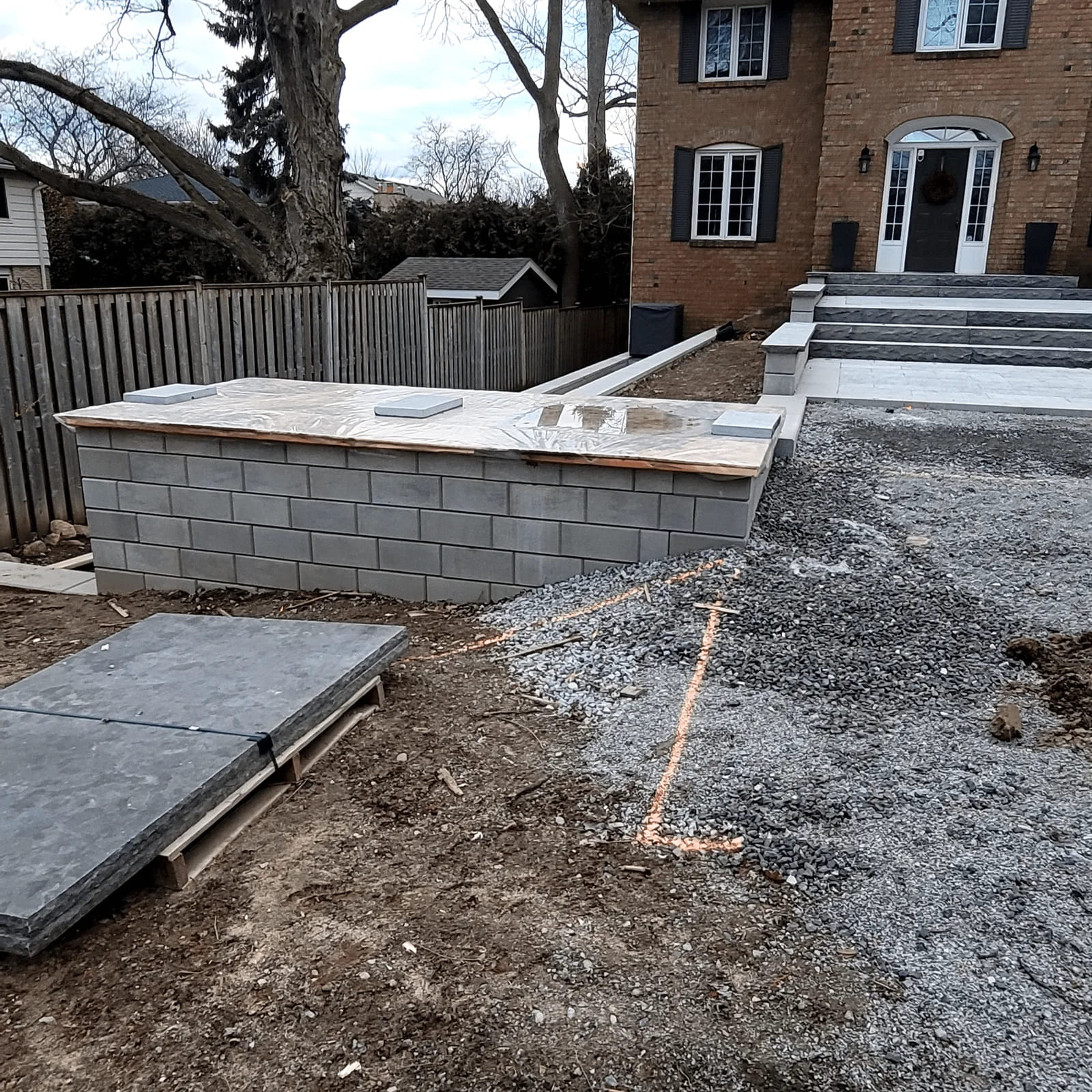
Surveying Burlington residential projects usually follows the same sequence: a topographic survey before design, layout once the drawings and permit are approved, grade checks during construction, and an as-built survey once features are in place. Booking each stage early keeps your excavation and concrete dates on track. See a residential construction survey in Burlington.
Burlington's Grading and Drainage Clearance Certificate
The City of Burlington requires a Grading and Drainage Clearance Certificate before it issues a building permit for work on residential lots with ten or fewer dwelling units. The application goes in with the Zoning Clearance Certificate as part of the Pre-Building Approval Application. Where a grading and drainage plan is needed, the City’s checklist asks for the plan to be stamped by a licensed professional and drawn to a metric scale, with elevations tied to a City of Burlington benchmark, and for existing ground elevations at the lot corners, along the property lines, 5 m beyond the property lines, and at swales, ditches, culverts and drainage inverts. We don’t prepare or stamp grading plans. We measure the existing grades and features the plan is drawn from, tied to City vertical control, and later set out the house and check grades once the plan is approved. Requirements change, so confirm the current checklist with the City or your engineer. A survey doesn’t guarantee a permit.
What to send for a Burlington quote
- The property address
- The project type: infill house, addition, garage, additional dwelling unit or commercial
- The stage you’re at: pre-design, Pre-Building Approval Application, permit issued or under construction
- Whether you need a topographic survey, layout, a grade check or an as-built
- Your designer’s or engineer’s drawings and requirements, if you have them
- Your construction dates and any access limits: shared driveways, neighbours or fences
Burlington surveying FAQs
What is a construction layout survey?
It’s the survey that transfers your approved drawings onto the ground, marking building corners, offsets and elevations so the excavator and form crew build in the right place.
Who certifies the grading plan for a Burlington permit?
A licensed professional, as the City’s checklist requires. We provide the measured survey data and on-site layout; we don’t certify grading plans.
Can you tie the survey to City of Burlington control?
Yes. When the plan requires it, we tie our elevations to the City of Burlington benchmark or control monument your engineer specifies.
When should layout be booked?
As soon as your permit is issued and you know your excavation date. Layout is best done before digging and checked again before concrete.
Related pages
Construction surveying · Topographical surveying · Grading · As-built surveying · LiDAR surveying · Footing layout in Hamilton · Projects · Blog · All service areas · Contact us
Nearby areas: Surveying in Hamilton · Surveying in Oakville.
Planning a project in Burlington?
For surveying Burlington infill homes or additions, send us the address, your drawings and what the survey is for, and we’ll follow up with a scope and quote.
Geo Vision Surveying Inc · Serving Burlington