


As-Built Surveying Services
Construction drawings show what was designed. As-built surveying records what was actually built.
Mon-Fri 8am-5pm, Sun 9am-4pm

Accurate Measurement of What Was Actually Constructed
Geo Vision Surveying Inc provides as-built measurements and construction verification for contractors, engineers, developers and project managers across Southern Ontario. We document the actual position, elevation and dimensions of completed work, so your team can compare it with the design and move to the next stage with confidence.
What Is an As-Built Survey?
An as-built survey documents the actual position and elevation of construction after it has been installed or completed. The measurements let contractors, engineers and owners compare completed work with the design drawings and identify any differences before the project moves forward. As-built measurements can be taken during construction, at each stage, or at project completion, depending on what your contract or engineer requires.
What We Can Measure
Foundations and Structures
Foundation corners, walls, footings, columns, anchor bolts, structural elements and their elevations.
Grading and Elevations
Finished grades, swales, slopes, top-of-wall and drainage features, for comparison with the approved grading design. Explore grading surveys.
Utilities and Site Features
Visible or accessible utilities, manholes, catch basins, inverts, curbs, sidewalks, roads and other installed site features. Underground work should be measured before it is backfilled or covered.
Interiors and Complex Spaces
For building interiors and complex spaces, SLAM LiDAR scanning can capture existing conditions as a 3D point cloud.
Construction Verification
Completed elements checked against the design before the next phase of work begins. Explore construction layout.
When You Need an As-Built Survey
- Before backfilling pipes, structures or services
- Before the next trade builds on top of completed work
- When the engineer, municipality or contract asks for confirmation of what was built
- At project closeout, for record drawings
- When something looks wrong and you need facts before deciding on a fix
Why As-Built Surveying Matters
Accurate as-built measurements give project teams reliable information about completed work. They help verify constructed positions and elevations, identify differences from the design, document completed construction, support engineering review and reduce the risk of problems being found after more work has been built on top. When critical features will become covered or inaccessible, timing the survey correctly is especially important.
Equipment and Methods
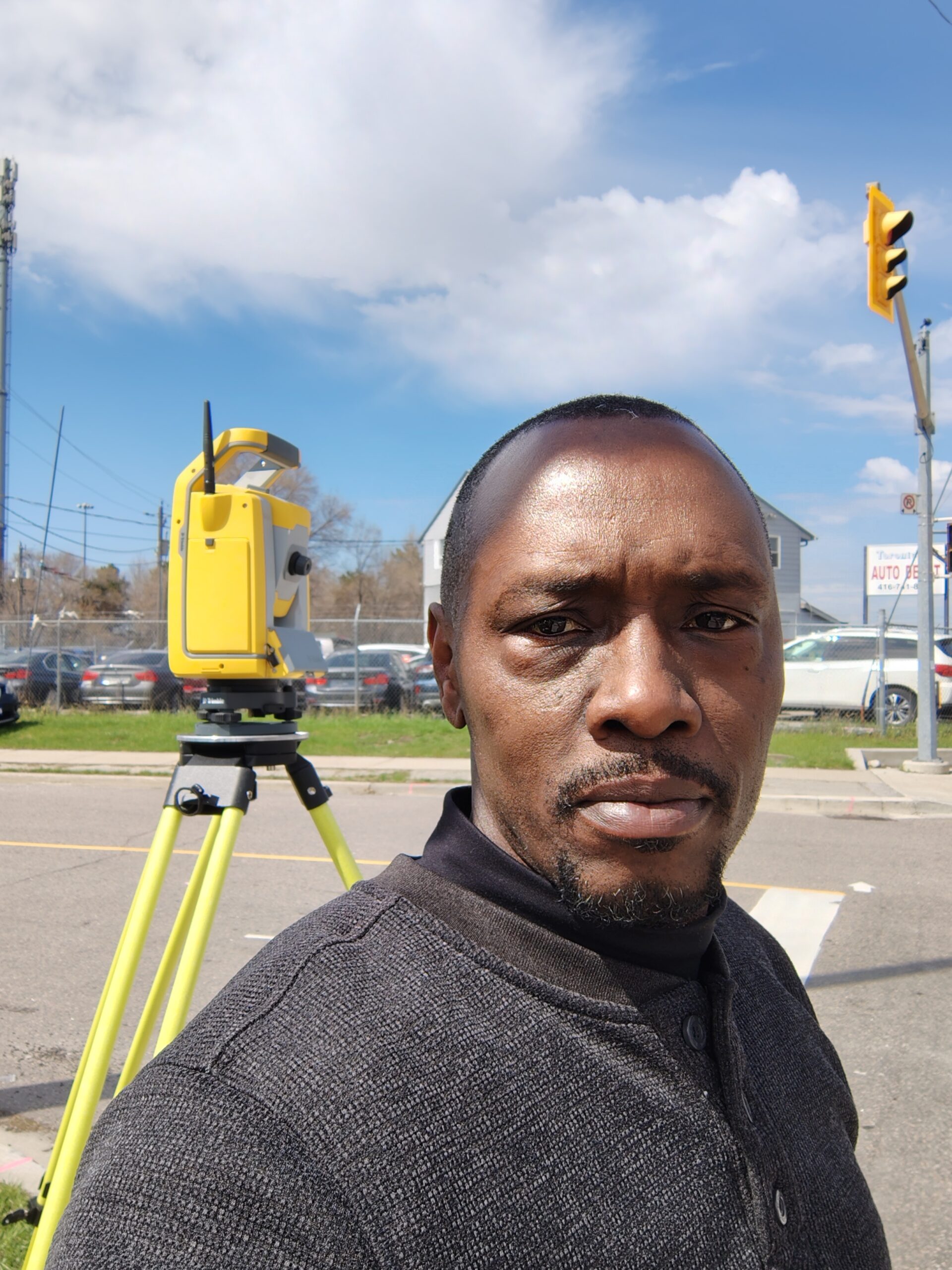
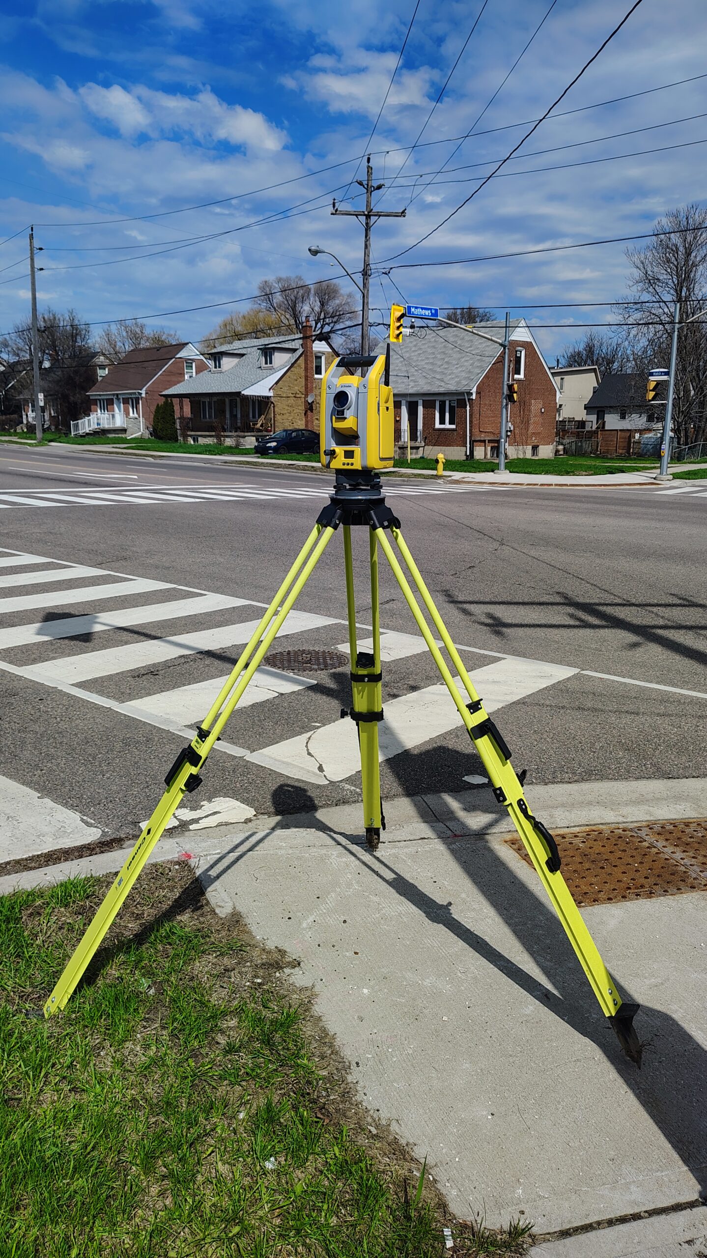
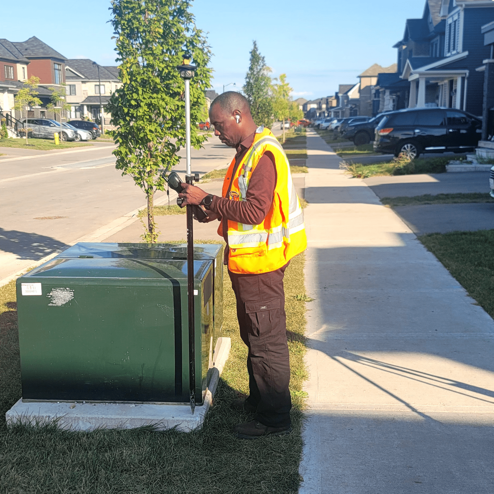
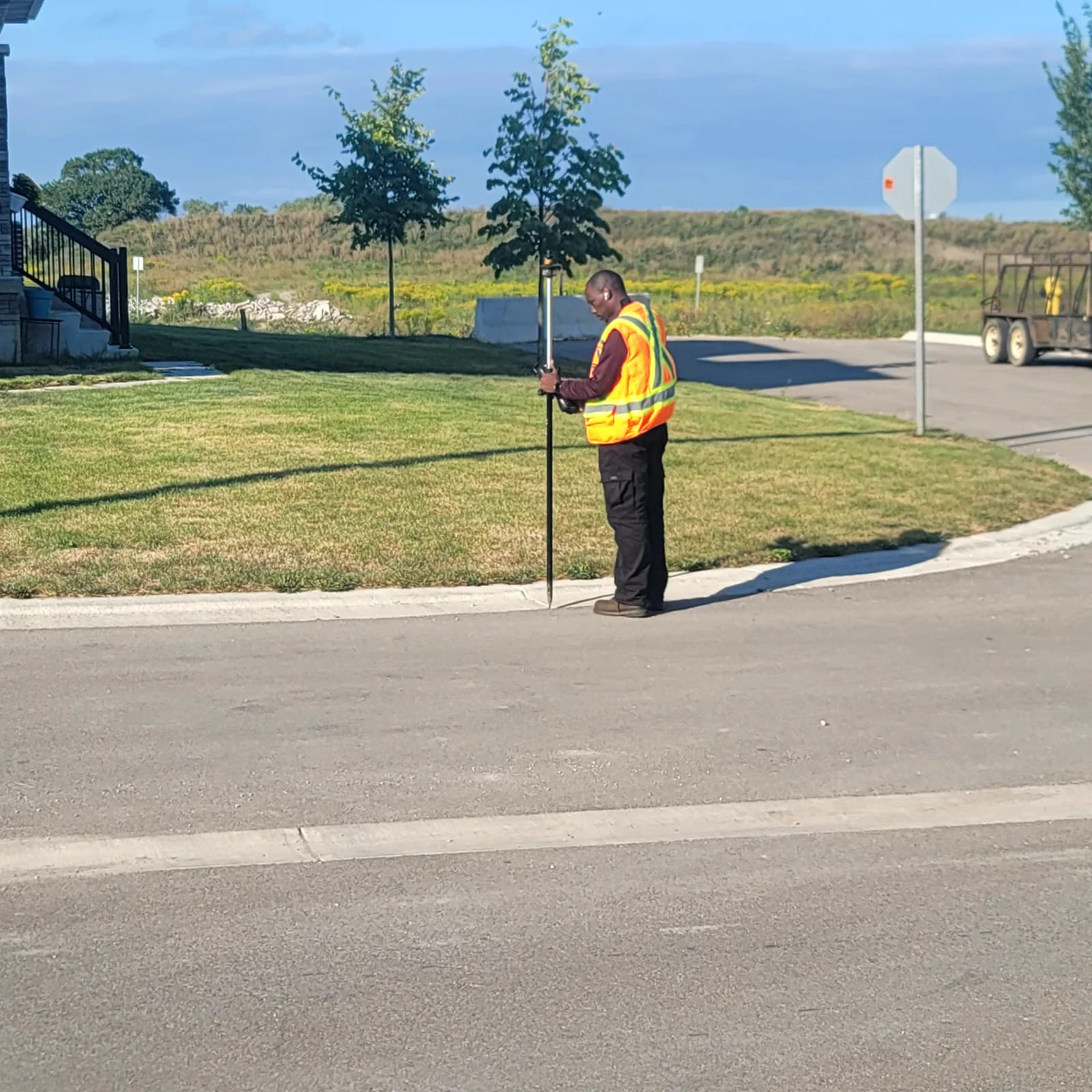
We measure with robotic total stations and GPS/GNSS receivers, tied to the project's control and elevation reference so the results compare directly with the design. For interiors and dense structures we can add SLAM LiDAR scanning. The method is chosen to suit the features, access and required tolerance.
Deliverables
Depending on the project scope, deliverables may include:
- Field coordinates and elevations of the measured features
- A CAD as-built drawing
- A PDF comparison of design versus as-built values
- Point clouds (LAS) and DWG files where SLAM LiDAR is used
Our Process
- Send us the project information. Provide the project address, current drawings and a description of what needs to be measured.
- Confirm the scope. We confirm the required measurements, deliverables and the right timing for fieldwork.
- Complete the field survey. Our crew measures the required construction features.
- Deliver the information. You receive the agreed coordinates, drawings or reports.
Example: as-built elevation checks on a bridge project in Brantford and an as-built survey in Toronto. Background reading: as-built surveying in Toronto.

Questions About As-Built Surveys
When is an as-built survey required?
Usually when a drawing, engineer or contract asks for confirmation of what was built, often before the next stage of work or at project closeout. Your contract documents set the exact requirement.
What are the requirements for an as-built survey?
They're set by your contract, engineer or municipality. Tell us who asked for the as-built and what it must show, and we'll scope the survey to match.
How much does an as-built survey cost?
It depends on the site size, what needs to be measured, access and the deliverable. Send your drawings and we'll give you a free quote.
Can you measure underground services before backfill?
Yes, if we're on site before they're covered. Book the as-built survey for when pipes, structures or services are exposed, because once they're backfilled they can't be measured directly.
Service Area
As-Built Surveying Across Southern Ontario
Geo Vision Surveying Inc provides project-based as-built surveying across Southern Ontario, including Toronto, Hamilton, Burlington, Oakville, Brantford, Cambridge and the Waterloo Region, Simcoe and Norfolk County, Hagersville and Haldimand County, the Niagara Region and surrounding communities. Contact us with the project location to confirm availability. See all our service areas.
Explore Our Surveying Services
Surveying Services We Provide

Construction Surveying & Layout
Site control, building and foundation layout, elevation checks before each pour, and progress measurements as the job moves forward.
Read more about Construction Surveying & Layout
Topographic Surveys
A topographic survey records the ground elevations and visible features of your site, so your designer works from real measurements.
Read more about Topographic Surveys
Grading Surveys
Grading layout, elevation checks and earthworks surveying for residential lots, commercial sites and construction projects.
Read more about Grading Surveys
Monitoring Surveys
Construction monitoring surveys for movement and settlement of structures and excavations, with repeat measurements and clear reporting.
Read more about Monitoring Surveys
LiDAR & SLAM LiDAR Scanning
SLAM LiDAR scanning for buildings, interiors and complex sites. Dense 3D point clouds and as-built data.
Read more about LiDAR & SLAM LiDAR Scanning
Drone Surveying
Drone surveying and mapping for construction, site development and earthworks projects across Southern Ontario.
Read more about Drone SurveyingRequest a Quote
Not sure which survey you need? Call 519-410-3981 or email info@geovisionsurveying.com with your project address, drawings and what needs to be measured.