


Topographic Survey in Cambridge
This topographic survey in Cambridge recorded ground elevations, the existing buildings and trees on a developed property in May 2026, tied to a published benchmark.
Project at a glance
- Location
- City of Cambridge, Ontario
- Project type
- Topographic survey of a developed property with existing buildings
- Timeline
- Fieldwork in May 2026
- Services
- Topographic survey and a tie to a published benchmark
What was needed
The client needed an accurate picture of the property as it stood: ground elevations, the existing buildings and the natural features, shown on a plan. Elevations were to be tied to a published benchmark so the plan could be used with other information on the same datum.
The surveying work we carried out
- Attended the site with a survey crew to record physical features and the existing structures
- Took ground shots on an approximate 10 to 15 metre grid across the property
- Surveyed the buildings on the property
- Recorded trees as wooded areas, rows of trees, or individual trees where they stood on their own
- Tied the survey to a COSINE benchmark
COSINE is Ontario’s public database of survey control points.
Underground utilities were not part of this scope.
Site conditions
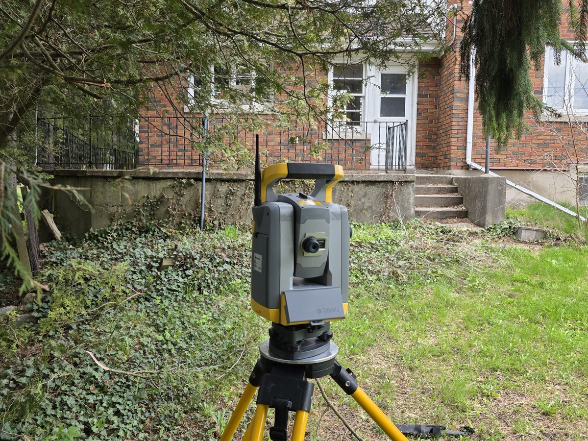
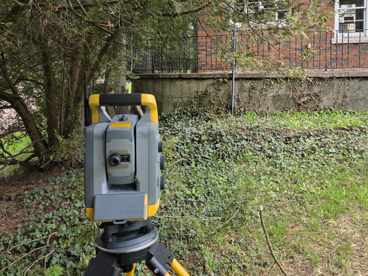
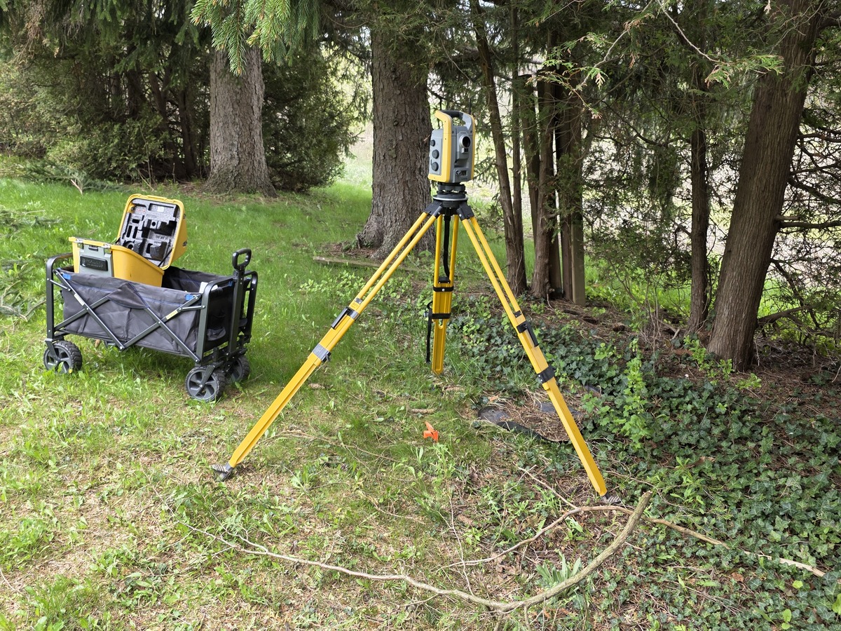
Our site photos show a developed property with older brick buildings, a concrete block outbuilding, a narrow walkway between buildings, lawns, ground cover and mature evergreens close to the buildings. Instrument setups had to be placed where they could see past the trees and around the building corners.
Methods and equipment
The fieldwork was carried out with a Trimble robotic total station on a tripod and a prism pole, with the equipment moved around the site on a cart. Building corners, ground shots and features were measured from the instrument setups and tied to the benchmark.
Deliverables
- A plan showing elevations and the physical and natural features on the property
- Elevations referenced to a COSINE benchmark
How a topographic plan is used
A topographic plan gives designers and project teams a measured base to work from, so decisions about the site are based on real grades and the real position of buildings and trees.
Project photos
Working with an Ontario Land Surveyor
We can contract an Ontario Land Surveyor on your behalf.
Related services and reading
Need a topographic survey in Cambridge?
Tell us about your site and what you need measured or laid out. Send the address, your drawings and your schedule, and we will reply with a quote.