3D LiDAR & Drone Reality Capture
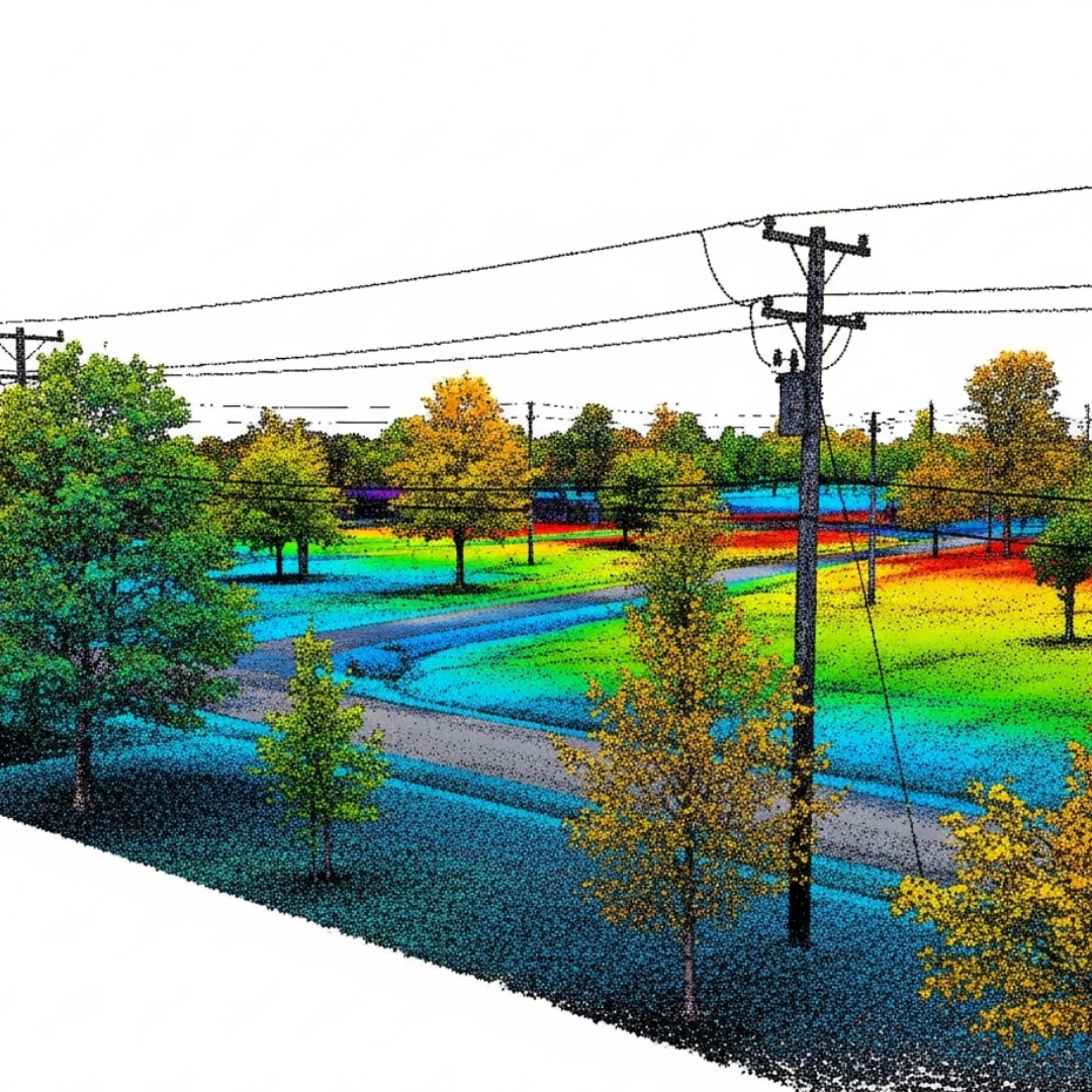
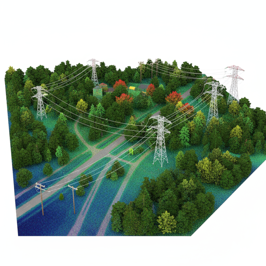
Geo Vision Surveying Inc. utilizes cutting-edge remote sensing technology to capture “Digital Twins” of the physical world. By integrating Terrestrial LiDAR and Aerial UAV (Drone) Photogrammetry, we provide high-density 3D data that offers a level of detail far beyond traditional point-and-line mapping.
Our High-Tech Mapping Solutions:
Terrestrial LiDAR Scanning: We use ground-based laser scanners to capture millions of data points per second. This is ideal for “As-Built” documentation of bridges, complex industrial sites, and heritage buildings where every millimetre counts.
Aerial Drone Mapping (UAV): Our drone systems cover hundreds of acres in a single flight, providing high-resolution orthomosaic imagery and topographic contours. This is the most efficient way to map large development sites and inaccessible terrain.
Volumetric Analysis: We provide rapid, accurate volume calculations for stockpiles (gravel, soil, asphalt). This is a critical service for pit/quarry management and earthwork contractors to track inventory and progress.
BIM & 3D Modeling: We convert raw point cloud data into usable 3D models and CAD files that integrate seamlessly into Building Information Modeling (BIM) workflows, allowing engineers to design within a perfect digital replica of the site.
The Geo Vision Advantage:
Safety: We map dangerous or hard-to-reach areas (like busy highways or steep slopes) from a distance or from the air.
Speed: What used to take weeks of ground work can now be captured in a few hours.
Rich Data: You don’t just get a map; you get a complete visual record of the site at a specific point in time.


