


Construction Surveying
Construction Surveying Service
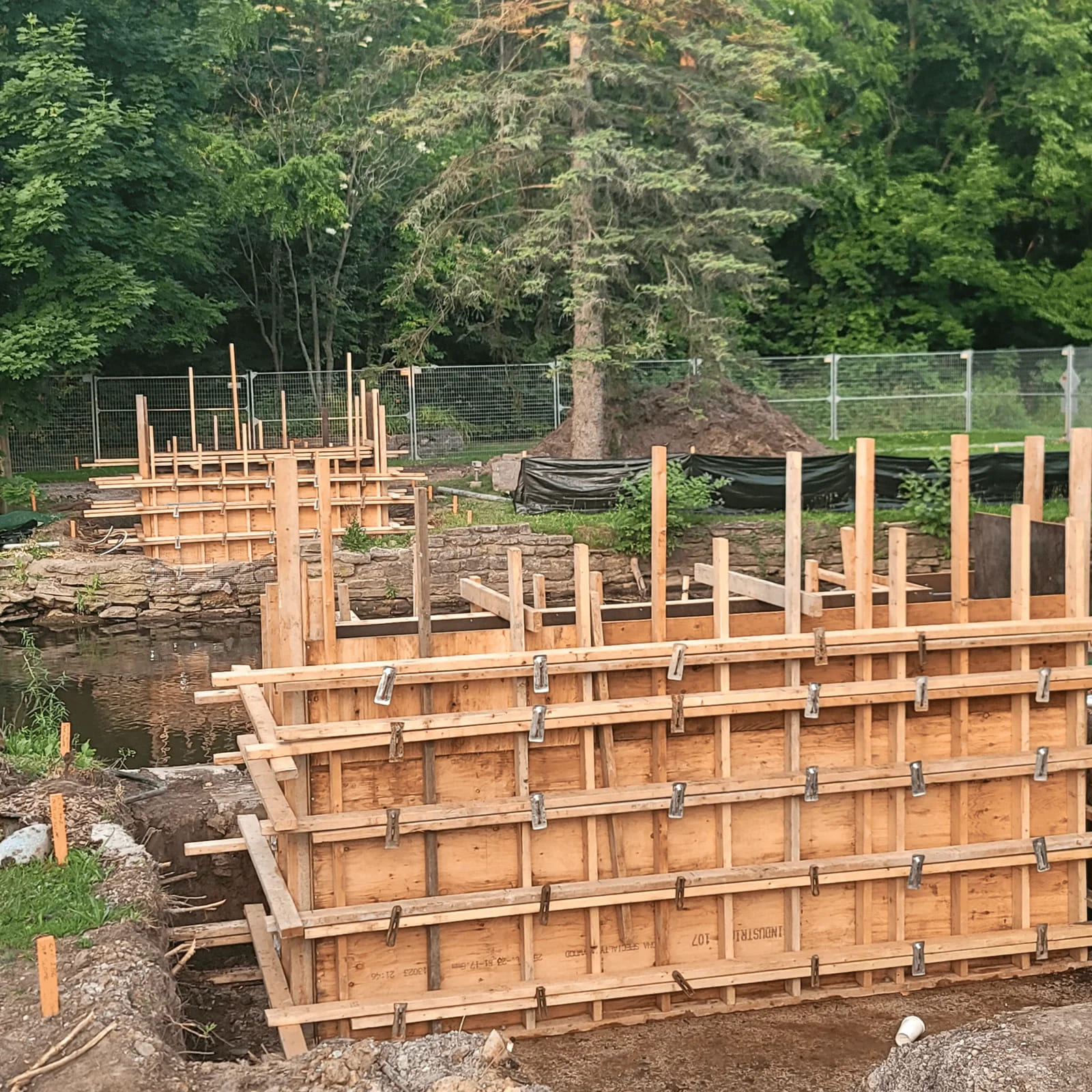
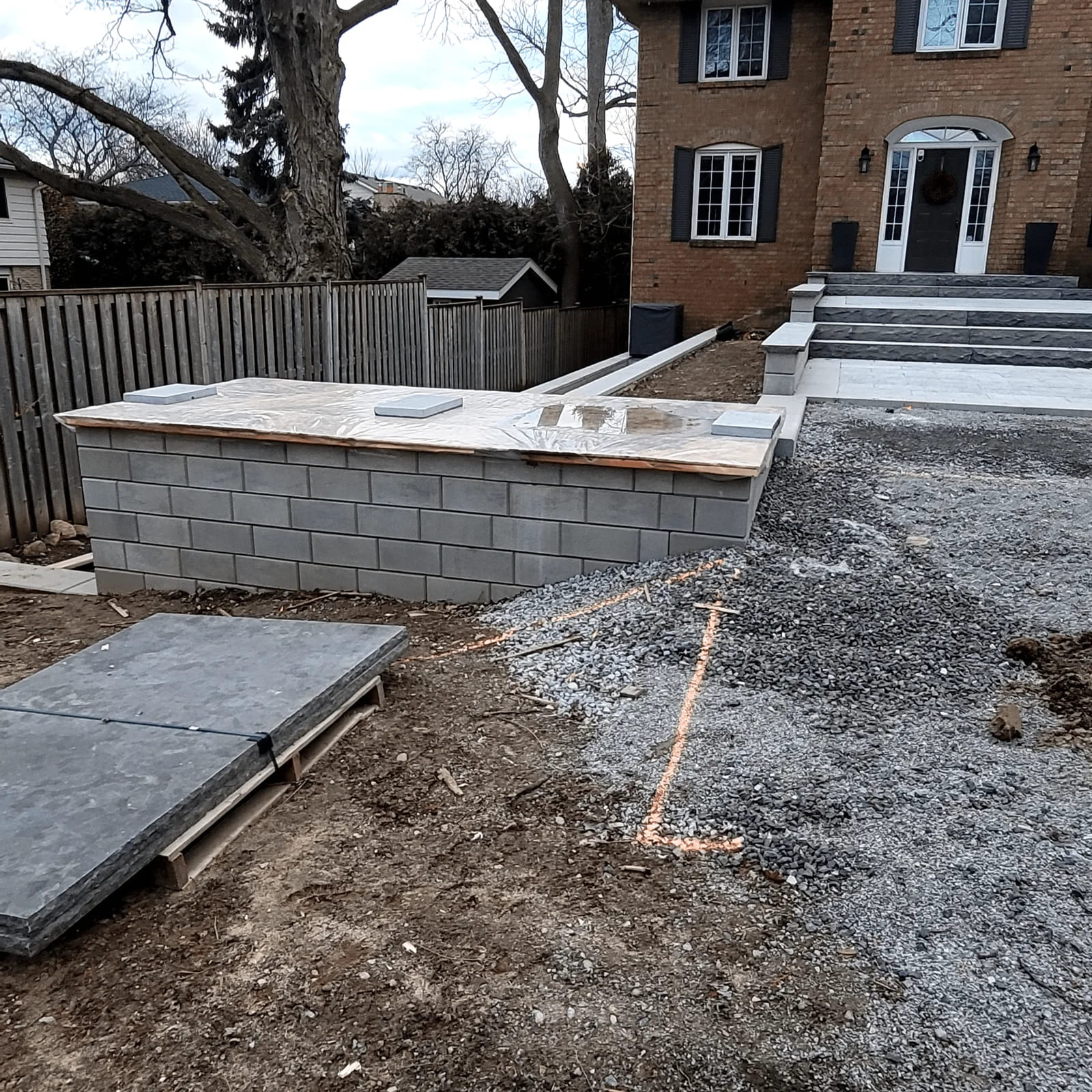
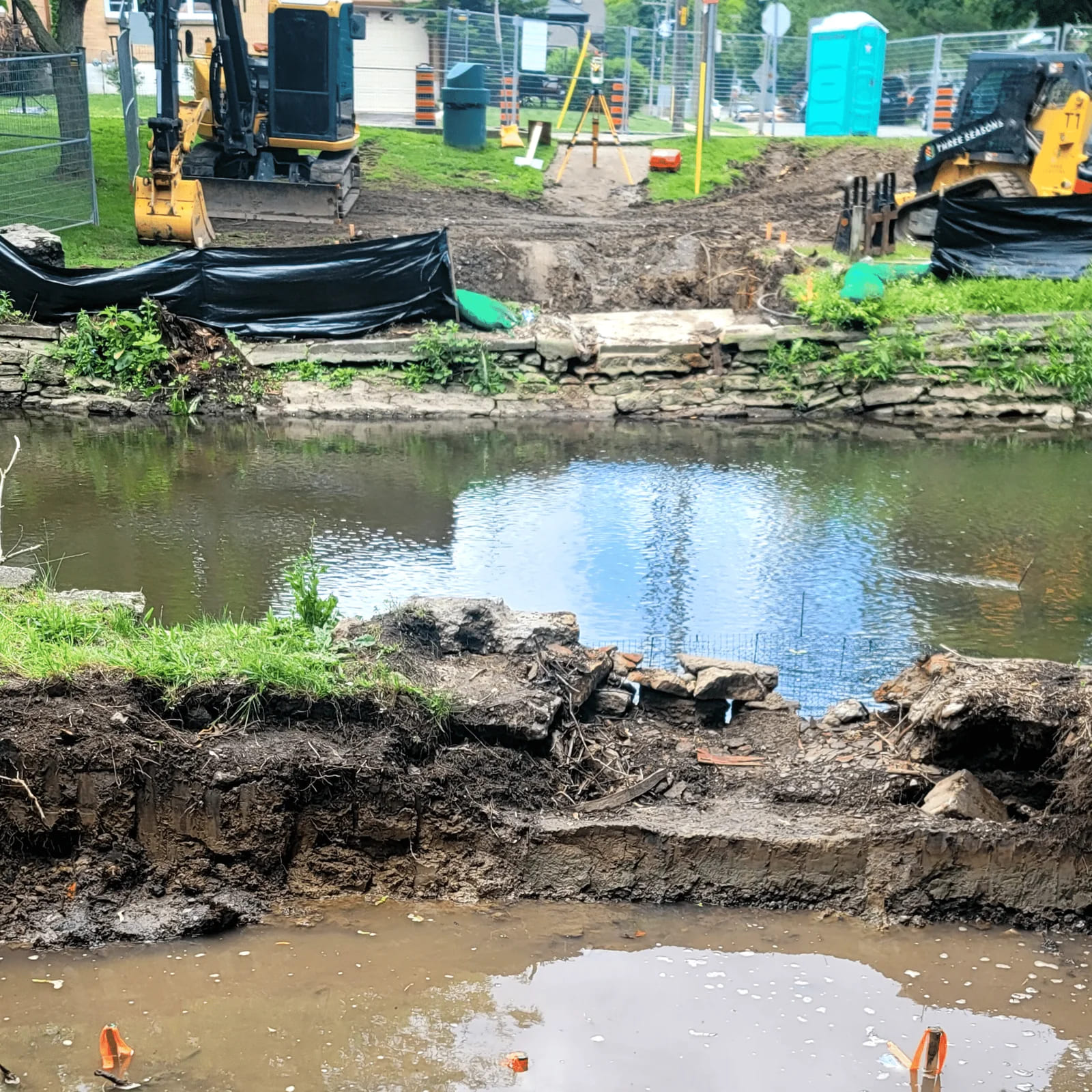
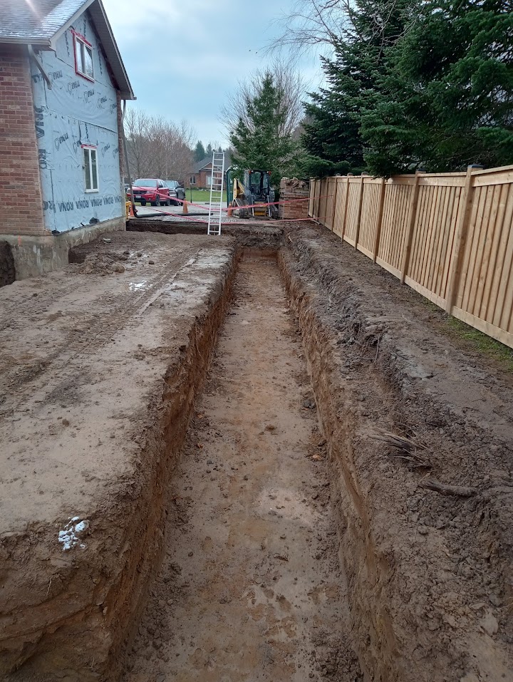
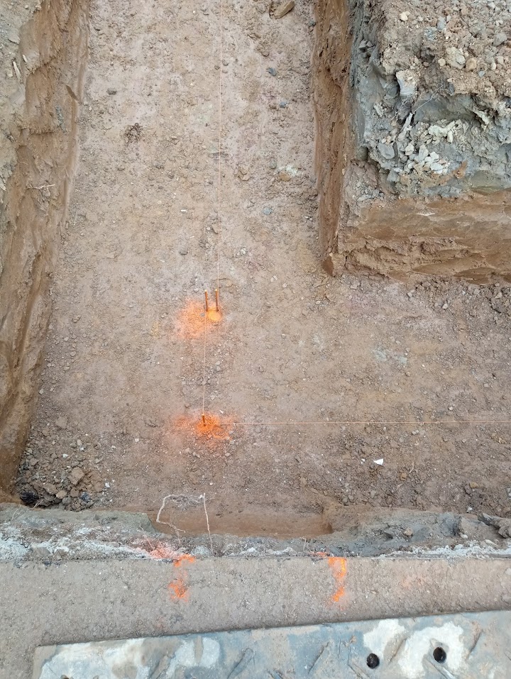
Construction Layout & Infrastructure Staking
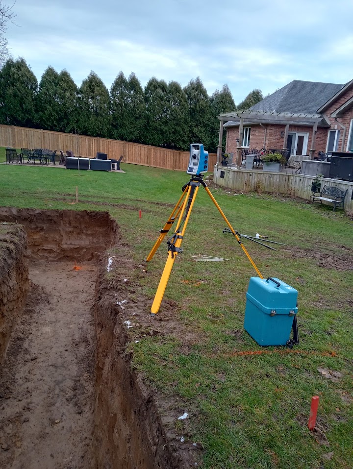
At Geo Vision Surveying Inc., we specialize in high-precision layout services that translate complex engineering designs into reality. We act as your on-site quality control, ensuring that every element—from a single footing to a multi-span bridge—is positioned with absolute accuracy.
Our Core Construction Capabilities:
- Building & Industrial Layout: Accurate gridline, foundation, and anchor bolt placement for residential, commercial, and industrial structures.
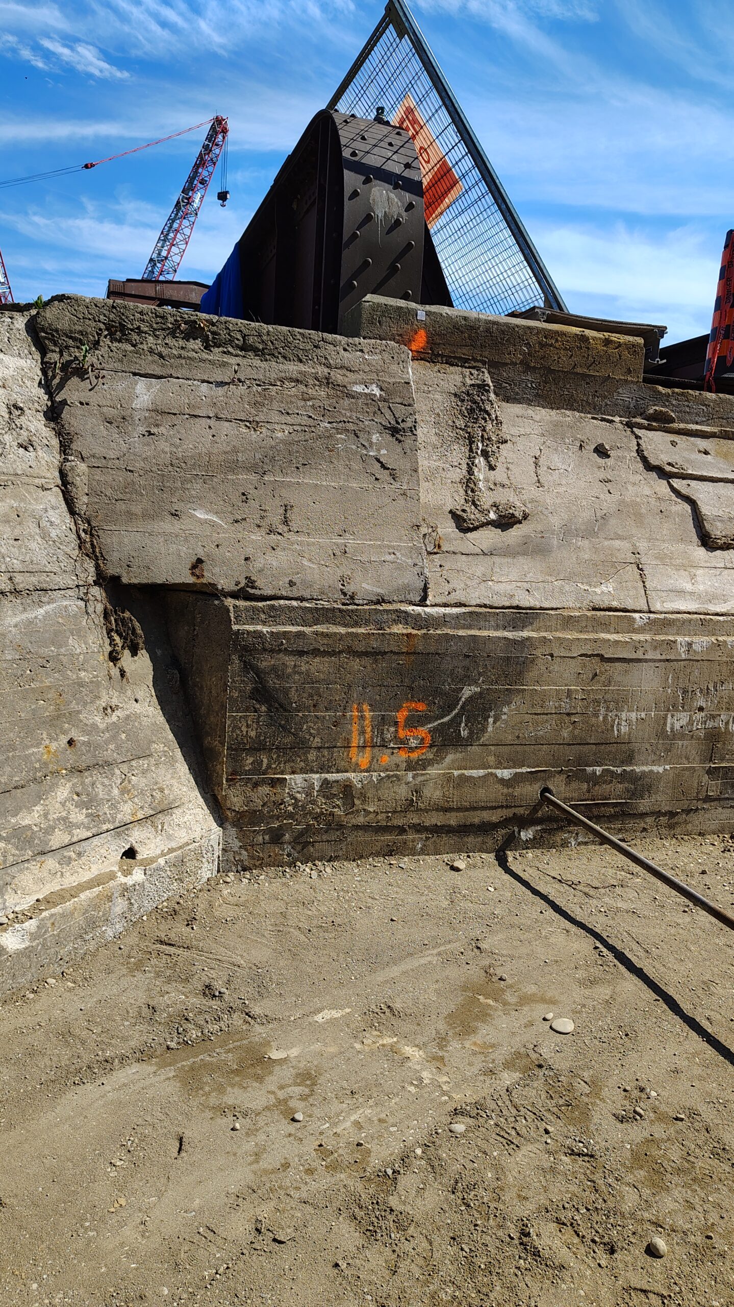
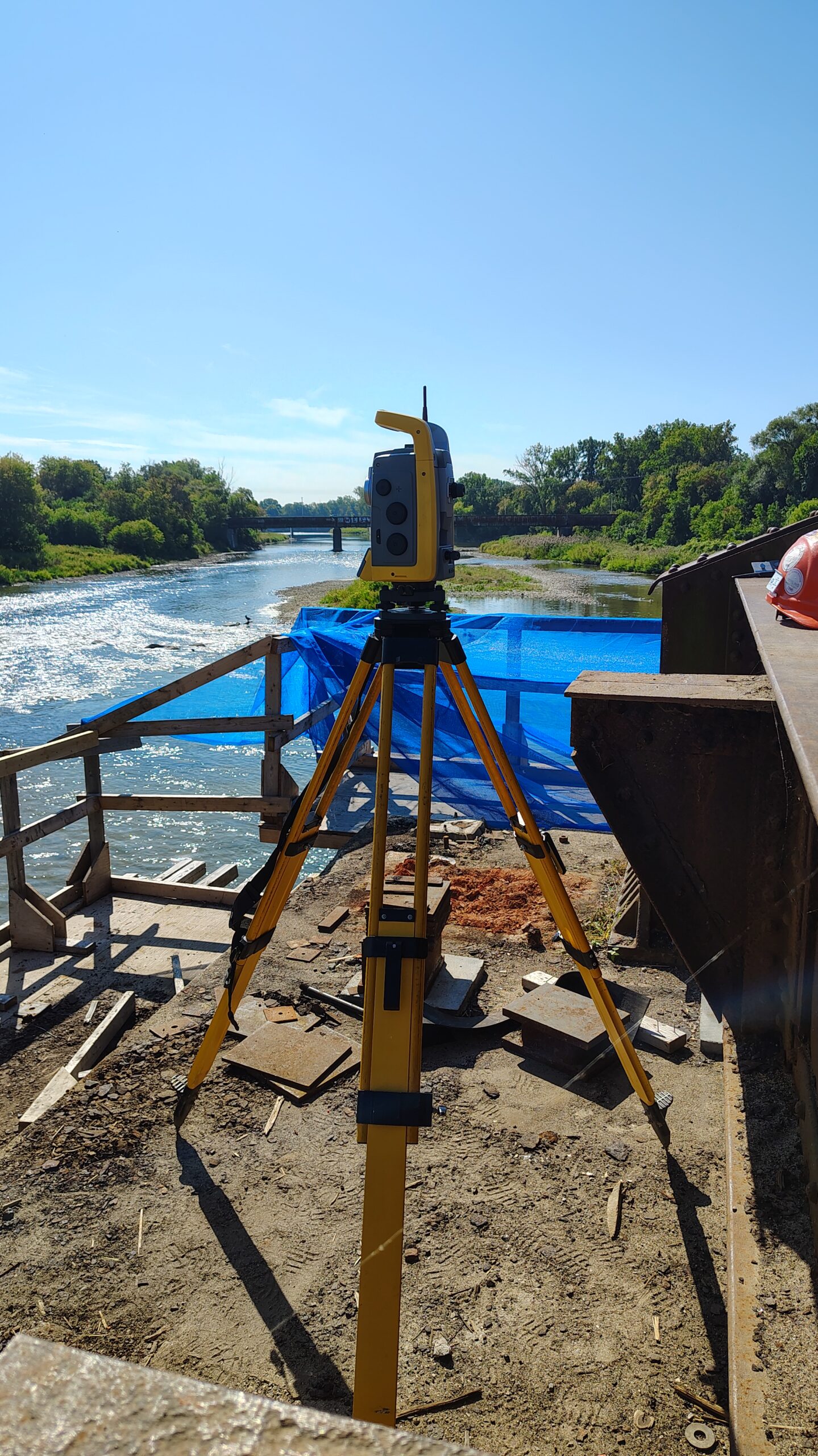
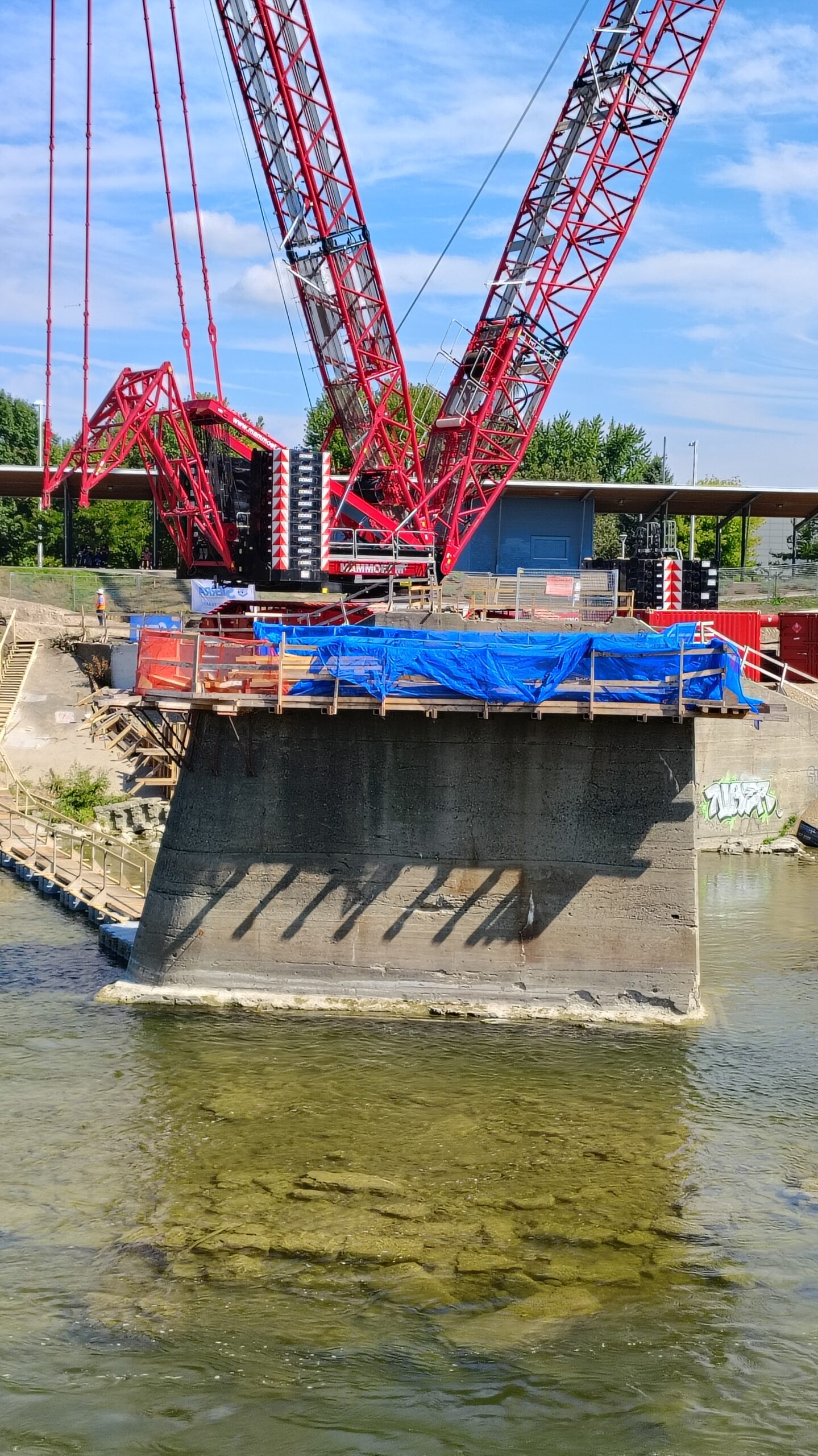
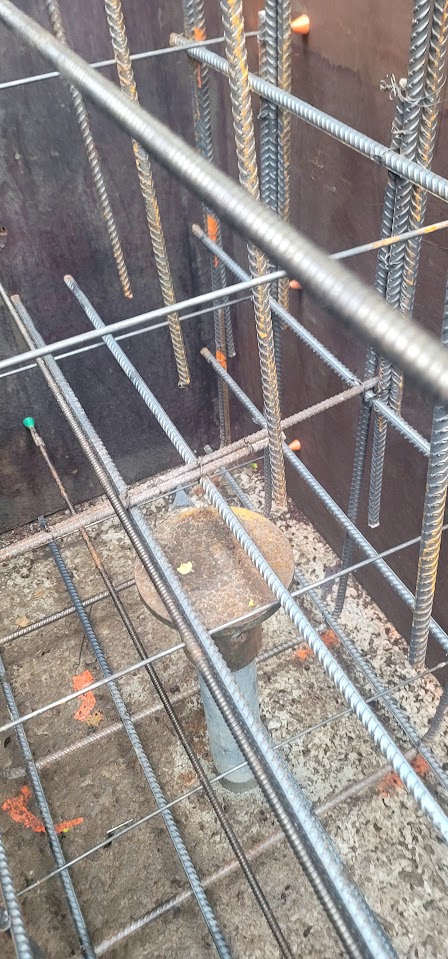
- Bridge & Structural Infrastructure: High-tolerance layout for abutments, piers, and structural steel, ensuring complex infrastructure projects stay on grade and on alignment.
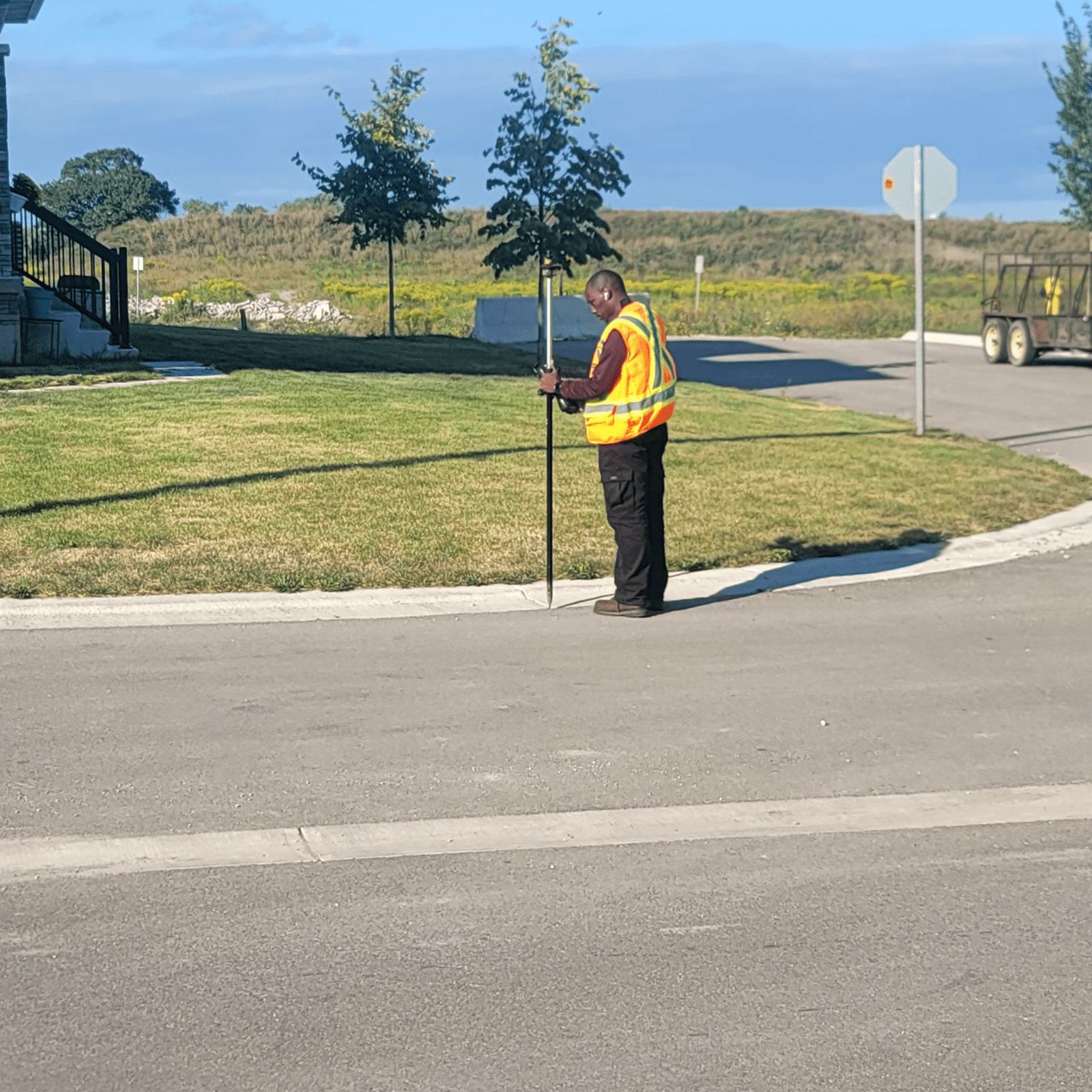
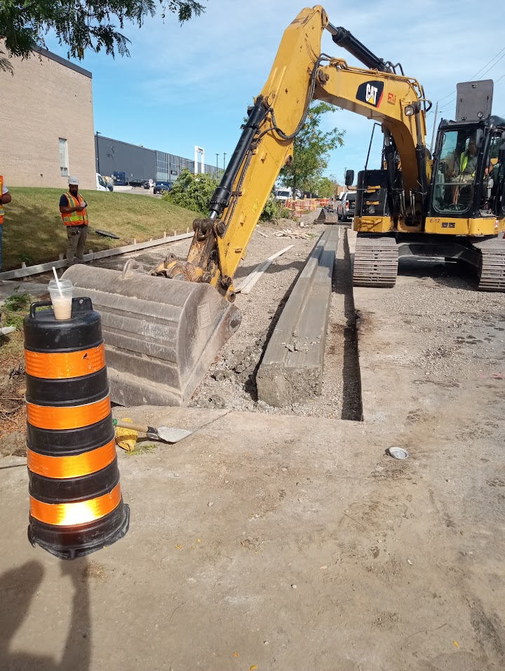
- Roads & Linear Infrastructure: Precision staking for road centerlines, curb and gutter, and underground utilities (storm, water, and sanitary).
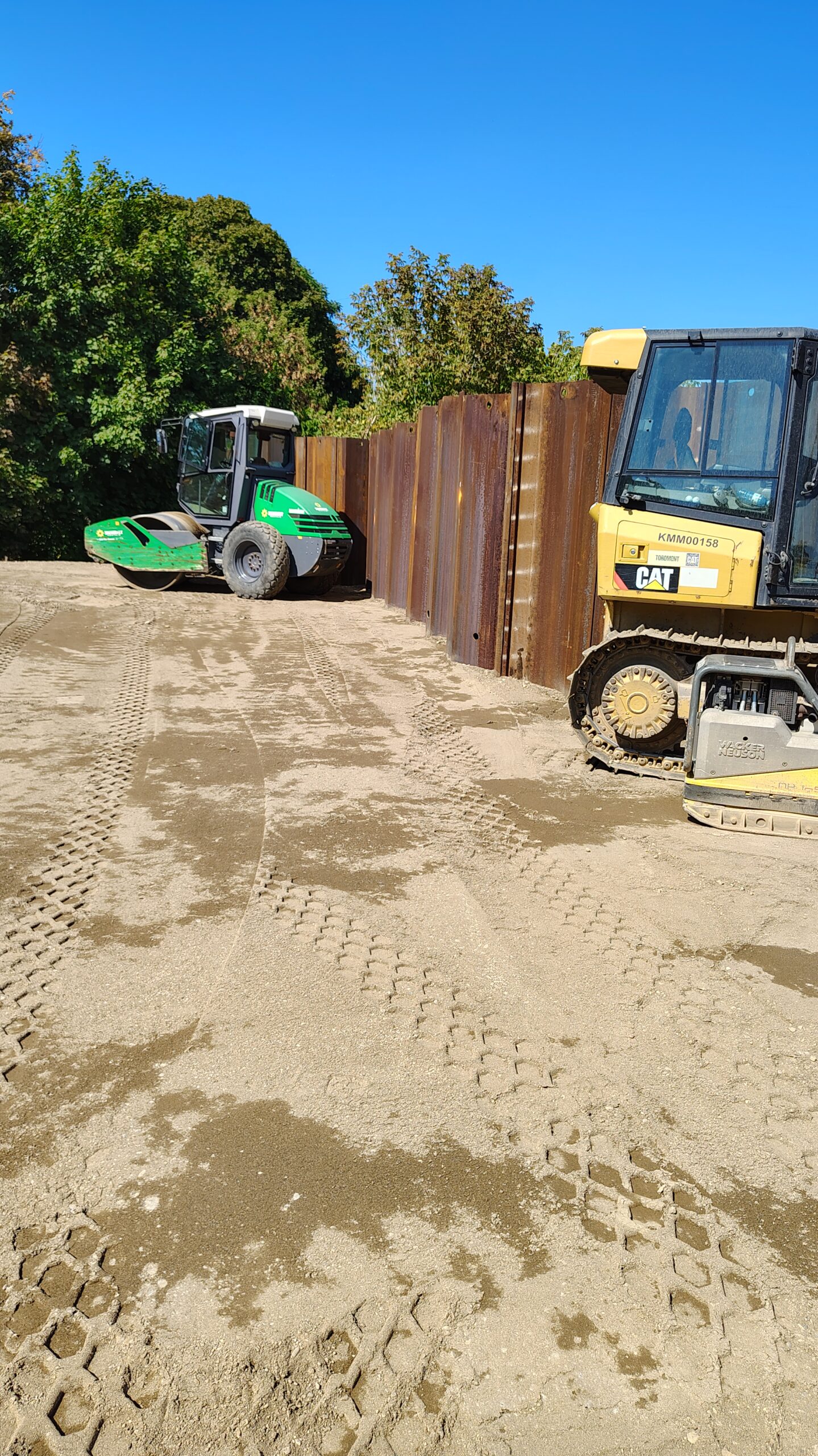
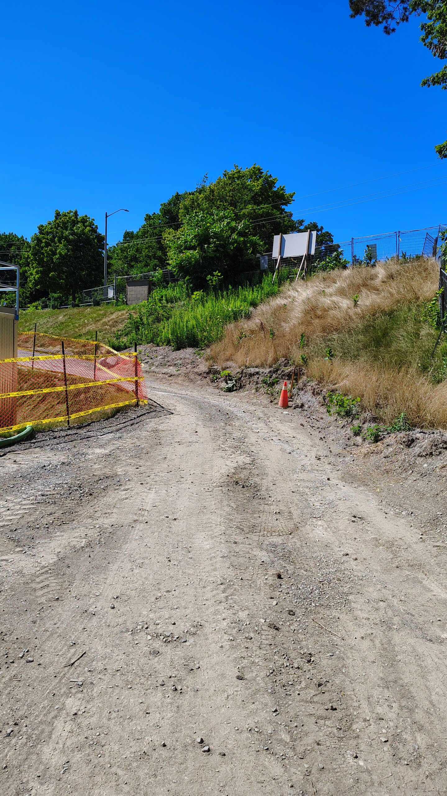
- Earthwork & Grading: Guiding excavation teams with digital grade control and stakes to ensure perfect site drainage and optimized material handling.
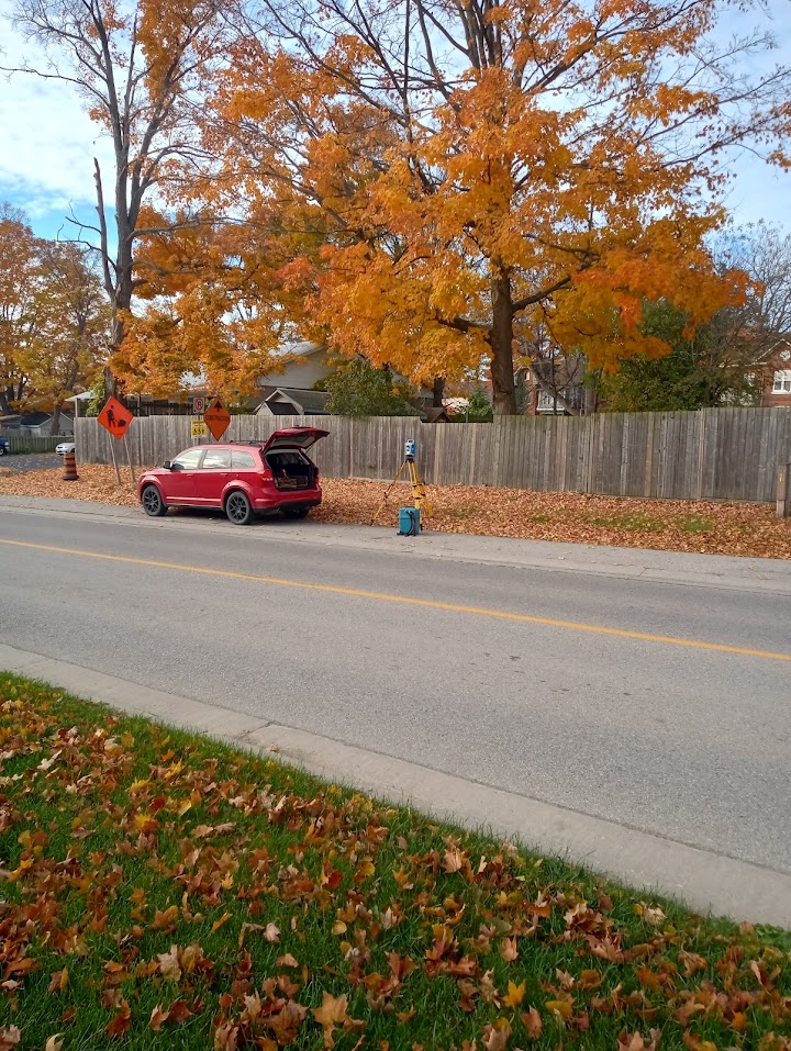
- Why Contractors Choose Geo Vision: Using Robotic Total Stations and GPS/GNSS technology, we provide rapid, reliable layout that minimizes site delays. We deliver the “peace of mind” that your project is being built exactly according to the design plan.
Note: All layout work is performed based on client-provided engineering plans. For building placements requiring legal boundary verification, we coordinate directly with our licensed OLS partners.